Back to Don's Maps
Maps - links to all the maps of the Earth's Children series, books 1 to 6
Maps of the Earth's Children Series - Maps include the Land of Painted Caves journeys, maps of The Territory of the Zelandonii, Journeys in Clan of the Cave Bear, local area around the cave in Clan of the Cave Bear, The Valley of Horses, Iron Gates map, local map of the Sharamudoi, local map of The Mammoth Hunters Lion Camp, map of Ukraine, map of The Plains of Passage, Clickable map of the Plains of Passage, Donau Mouth to First Snow from the Plains of Passage, The Encounter with the S'Armunai, the true extent of the ice in the last ice age, as well as the Wurm and Riss Glaciation in the headwaters of the Donau (Danube), How I draw the maps..
Many people print out the maps for the relevant books and glue them to the front and/or back covers, so that they can more easily follow the journeys as they read the books!
Go to the map of all of Ayla's journeys
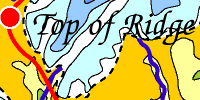
All of Ayla's journeys are on this map, up to Shelters of Stone. Jondalar and Thonolan pretty much followed the same course when going east, except that after the time with the Sharamudoi they took a boat down the river to the delta. Then after leaving the delta and Willow Camp they would have followed pretty much the same path as Jon and Ayla did on the journey to the Zelandonii, and finished up at the Valley of horses.
Go to the clickable map of all of Ayla's journeys - click on the camera icon and see the particular area .
Go to the map of Journeys in Clan of the Cave Bear
Allez à la carte des trajets de la Caverne du Clan en français
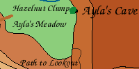
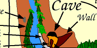
Go to the map of the local area around the cave in Clan of the Cave Bear
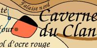
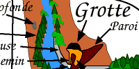
Allez à la carte de la Caverne du Clan en français
Go to the map of the Valley of Horses
Allez à la carte de la vallée des chevaux en français
Go to the map of The Mammoth Hunters, in Ukraine
This includes Ayla's journeys in Clan of the Cave Bear, Valley of Horses, Mammoth Hunters, and the first part of the journey in Plains of Passage
Allez à la carte de Ukraine en français
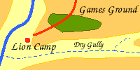
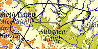
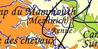
Go to the map of The Mammoth Hunters Lion Camp local area
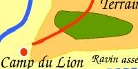
Allez à la carte des chasseurs de mammouths en français
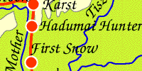
Go to the map of the Donau Mouth to First Snow from the Plains of Passage
Allez à la carte en français « de l'embouchure du Danube à première neige » d'après Le Grand Voyage
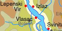
Go to the Iron Gates contour maps
This includes the Sharamudoi journeys, as well as a map for Archeology students without Ayla's journeys.
Go to the local map of the Sharamudoi / Iron Gates
Allez à la carte des Sharamudoi en français
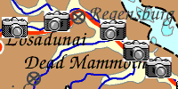
Go to the map of First Snow to the Mammoths from the Plains of Passage
Allez à la carte en français de la première neige aux mammouths d'après le Grand Voyage
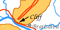
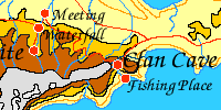
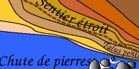
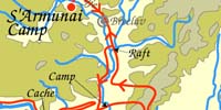
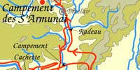
Go to the map of the Encounter with the S'Armunai
Allez à la carte en français de la rencontre avec les S'Armunaï
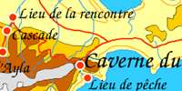
Go to the map of the Shelters of Stone - Zelandonii Territory
Allez à la carte de la Territoire des Zelandoni en français
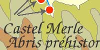
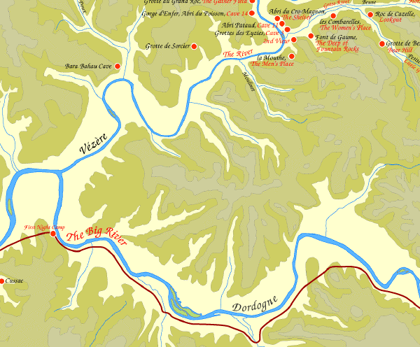
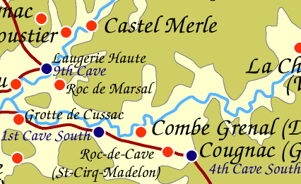
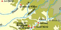
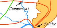
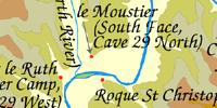
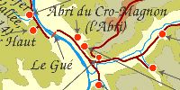
Go to the map of the Vézère Valley for students of archaeology
 The Causes of the end of the last Ice Age: The last great ice age began around 120 000 years ago. One massive ice sheet, more than 3 kilometres thick in places, grew in fits and starts until it covered almost all of Canada and stretched down as far as Manhattan. Then, 20 000 years ago, a great thaw began. Over the following 10 000 years, the average global temperature rose by 3.5° C and most of the ice melted. Rising seas swallowed up low-lying areas such as the English Channel and North Sea, forcing our ancestors to abandon many settlements.
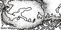
Go to the maps of the extent of the ice in the last ice age. A set of maps illustrate how the last British ice sheet shrunk during the Ice Age. The unique maps record the pattern and speed of shrinkage of the large ice sheet that covered the British Isles during the last Ice Age, approximately 20 000 years ago. The sheet, which subsumed most of Britain, Ireland and the North Sea, had an ice volume sufficient to raise global sea level by around 2.5 metres when it melted.
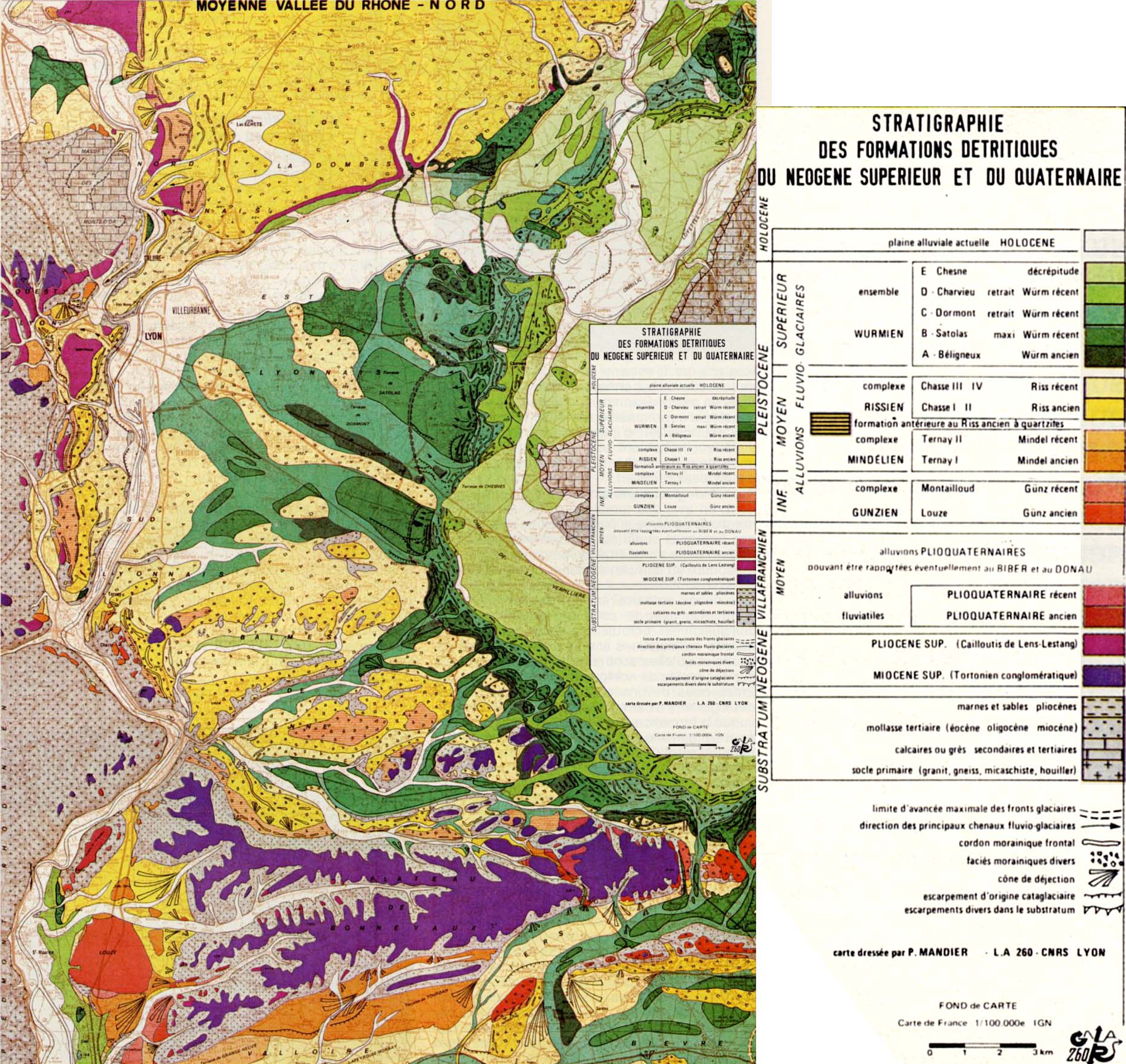
Go to the map of the Wurm and Riss Glaciation deposits in the Rhone valley.
Carte dressée par P. Mandier L.A 260 CNRS Lyon
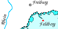
Go to the map of the Wurm and Riss Glaciation in the headwaters of the Donau (Danube)

Cartes dessinées à l’ordinateur
 Inconsistencies in the EC books.
Last updated Sunday 04 May 2025

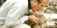
The Dordogne - scene for Book 5, Shelters of Stone. Scenes from the Dordogne, cooking Clan style - preparation of ptarmigan, and using a firestone to make a fire. Photos courtesy Sharon Rogers/walkhound
Golden Thread - Ayla's contraceptive.
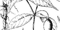
The Sacred Root - The sacred root is not Datura, however there is reason for thinking that Jean used at least the physical form and growth habits of mandrake when she created her "sacred root". The effects, however, are closer those of the iboga plant.
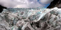
Geology for Earth Children fans
 Amelana's Cave
 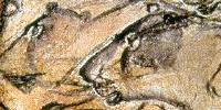 First Cave (South), the Most Ancient Sacred Site, Chapter 27 - 28 Land of Painted Caves
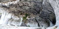
Now called Chauvet Cave, in the valley of the Ardèche River in France, it is filled with paintings, engravings and drawings created more than 30 000 years ago, of cave lions, mammoths, rhinos, bison, cave bears and horses. It contains the earliest known cave paintings, as well as other evidence of Upper Paleolithic life. A later occupation left little but a child's footprints, the charred remains of ancient hearths and carbon smoke stains from torches that lit the caves. After the child's visit to the cave 26 000 years ago, evidence suggests that the cave had been untouched until discovered in 1994. The footprints may be the oldest human footprints that can be dated accurately
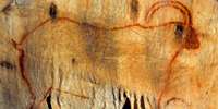 Fourth Cave South, Chapter 20 Land of Painted Caves
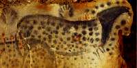 Seventh Cave South, Chapter 21 Land of Painted Caves
Now called Pech Merle, this is one of the few prehistoric cave painting sites in France which remain open to the general public. Extending for more than a mile from the entrance are caverns the walls of which are painted with dramatic murals from 25 000 years ago. The walls of seven of the chambers at Pech Merle have fresh, lifelike images of a woolly mammoth, spotted horses, bovids, reindeer, handprints, and some human figures. Footprints of children, preserved in what was once clay, have been found more than a kilometre underground.
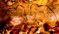 Mammoth Cave Chapter 14 Land of Painted Caves