Back to Don's Maps
 Australian sites
  Bushwalking Index
 Carnarvon Gorge
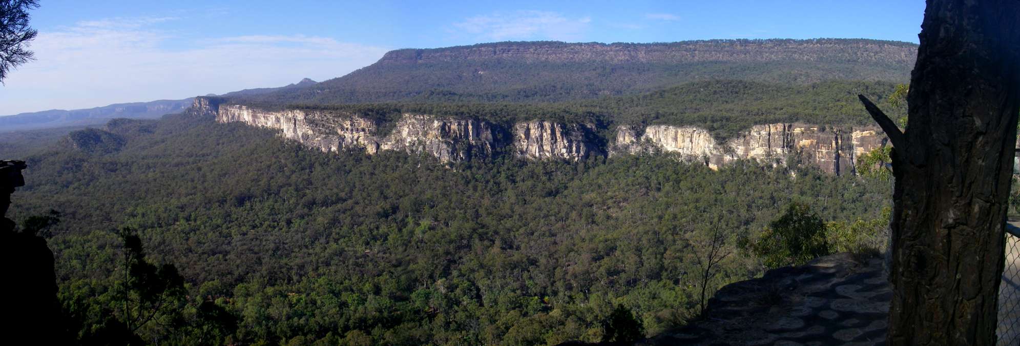
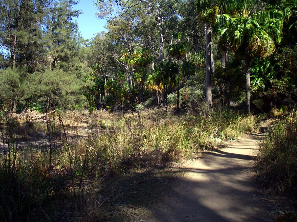
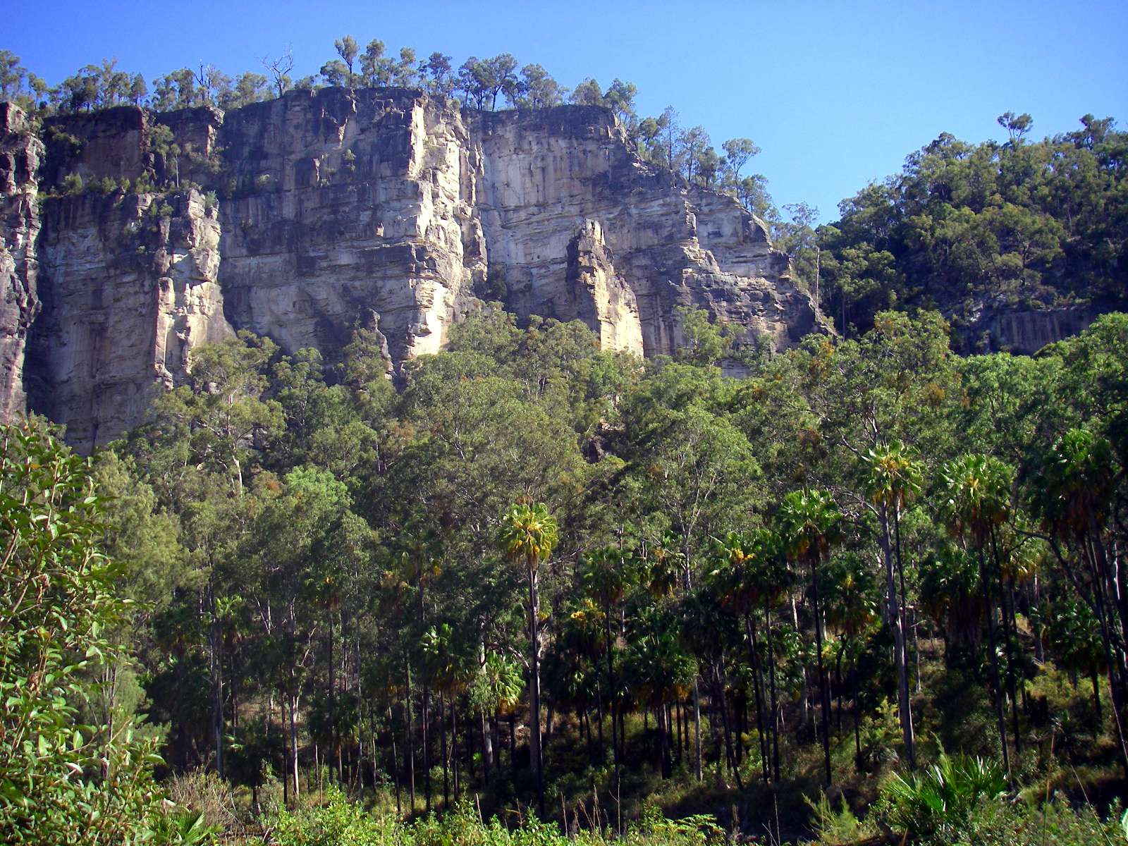
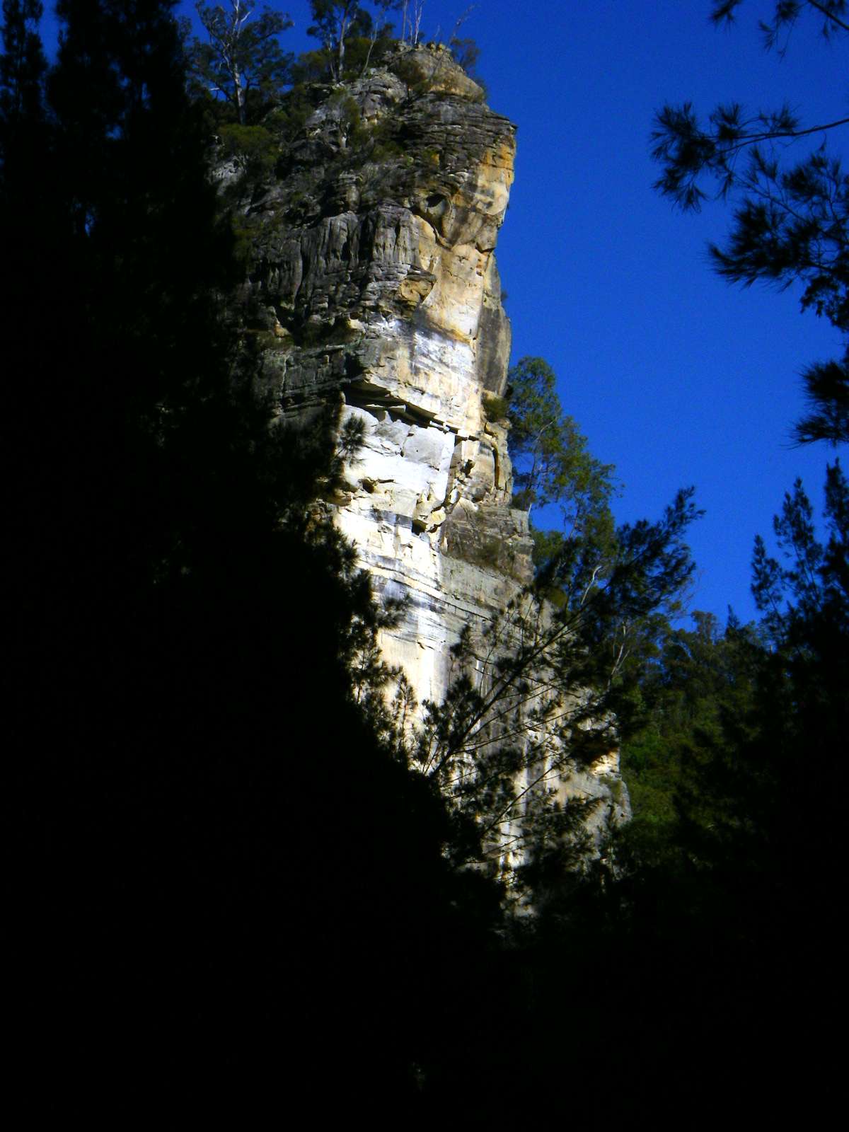
The entry to Carnarvon Gorge looking downstream from Boolimba Bluff - the gorge proper begins to the right of the photograph
Photo: Don Hitchcock, August 2009
The fragile aboriginal art on the gorge's sandstone walls reflects a rich culture..
Text above adapted from http://www.epa.qld.gov.au/parks_and_forests/.

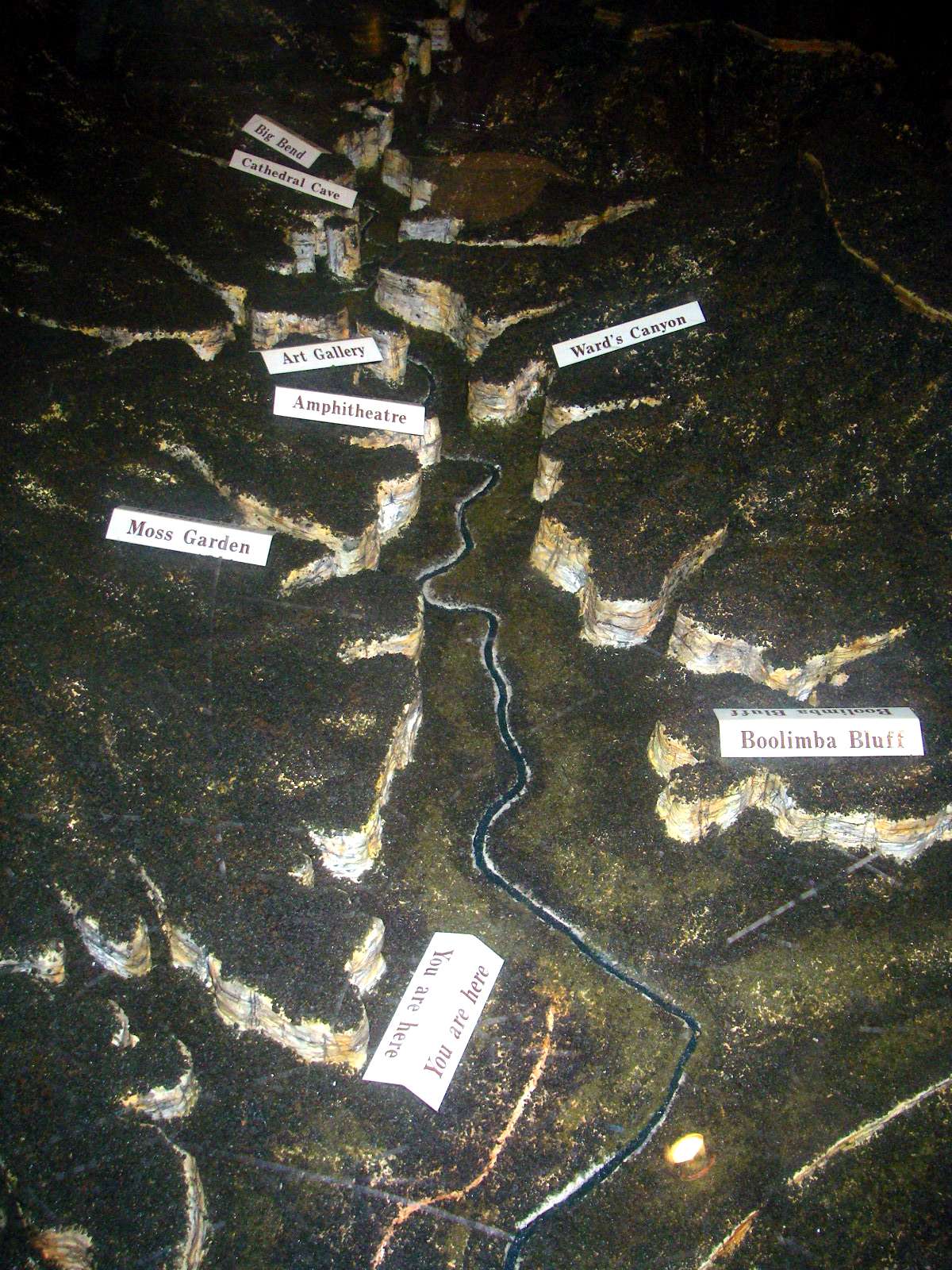
This diorama of the physical features of Carnarvon Gorge gives a good idea of the Carnarvon Creek region of the National Park.
Photo: Don Hitchcock, August 2009
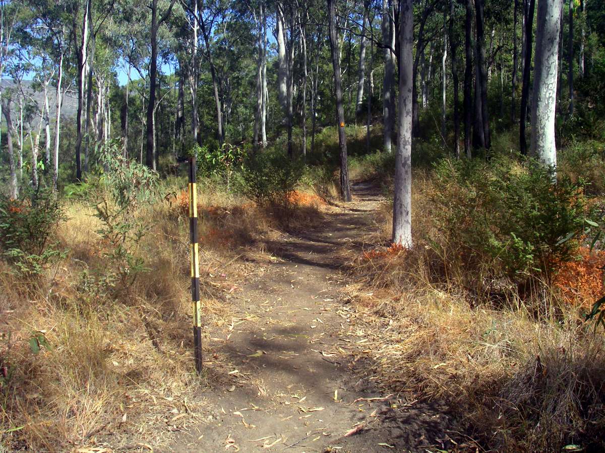
The tracks in Carnarvon Gorge are superbly maintained. The track down the centre of the gorge is about as easy as a bushwalking or hiking track is ever going to be, with mostly a good surface, flat stepping stones across the river (!!) and rises and falls of only a few metres altitude, usually where the track crosses the river.
Photo: Don Hitchcock, August 2009
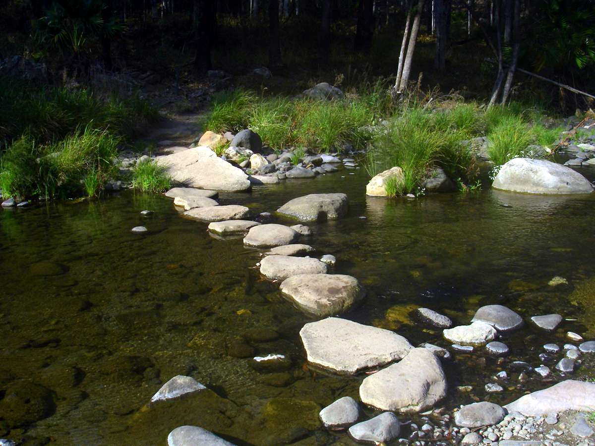
The stepping stones must be relaid every year after the floods, but visitors can cross the creek without getting their shoes wet if they stay on the track.
Photo: Don Hitchcock, August 2009

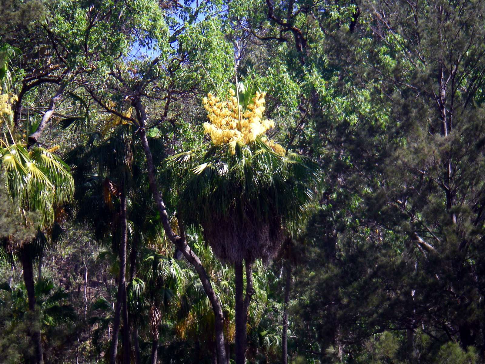
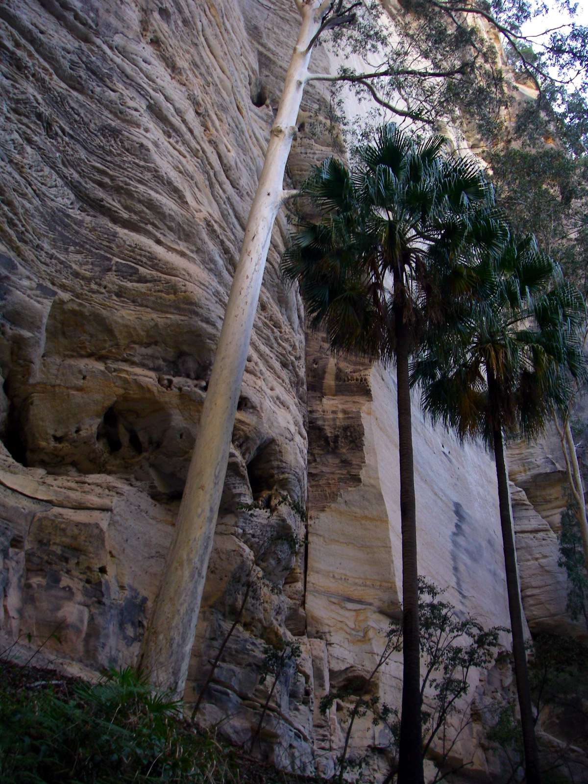
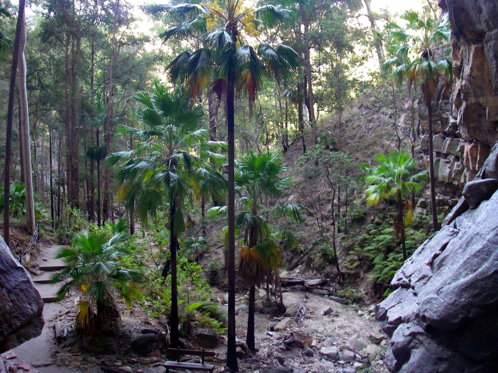
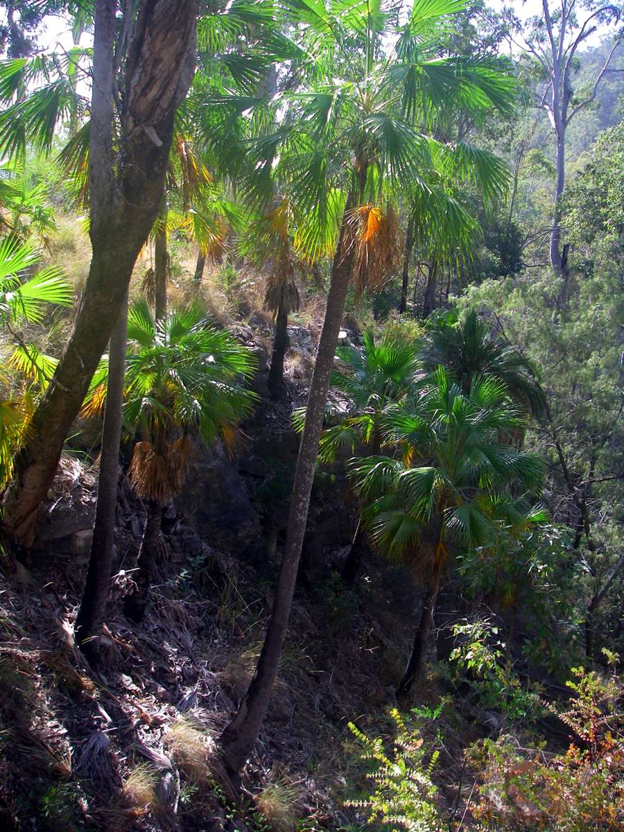
The towering sandstone walls provide shelter to a wide range of plants and animals.
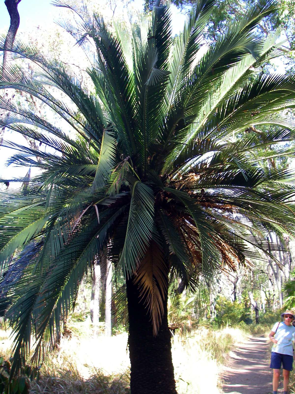
It was fortunate that I was there at the time of the flowering of the palms.
The palm is Livistona nitida, which grows only in the Carnarvon Gorge and some other parts of the Dawson River catchment. It does not retain its leaves, which leaves a beautiful, smooth trunk.
Photo: Don Hitchcock, August 2009
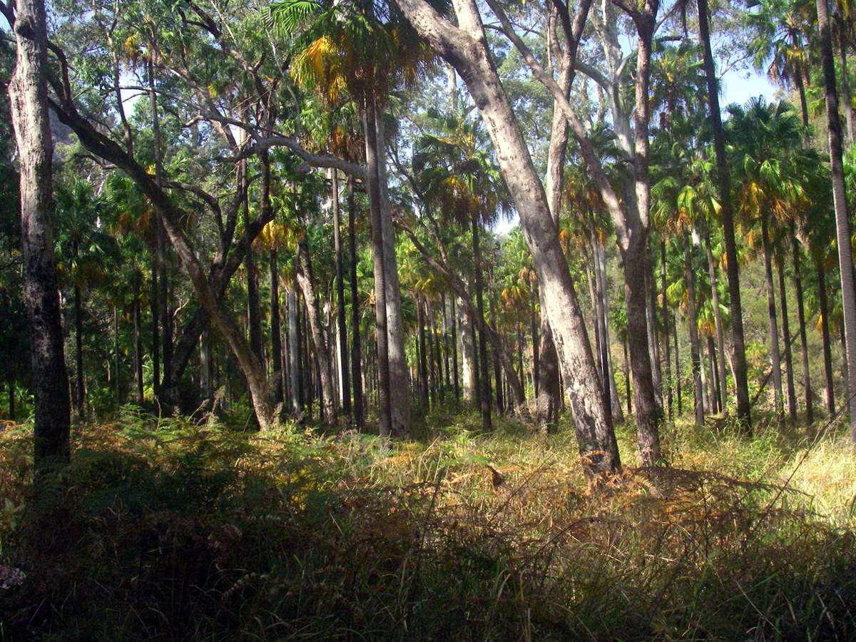
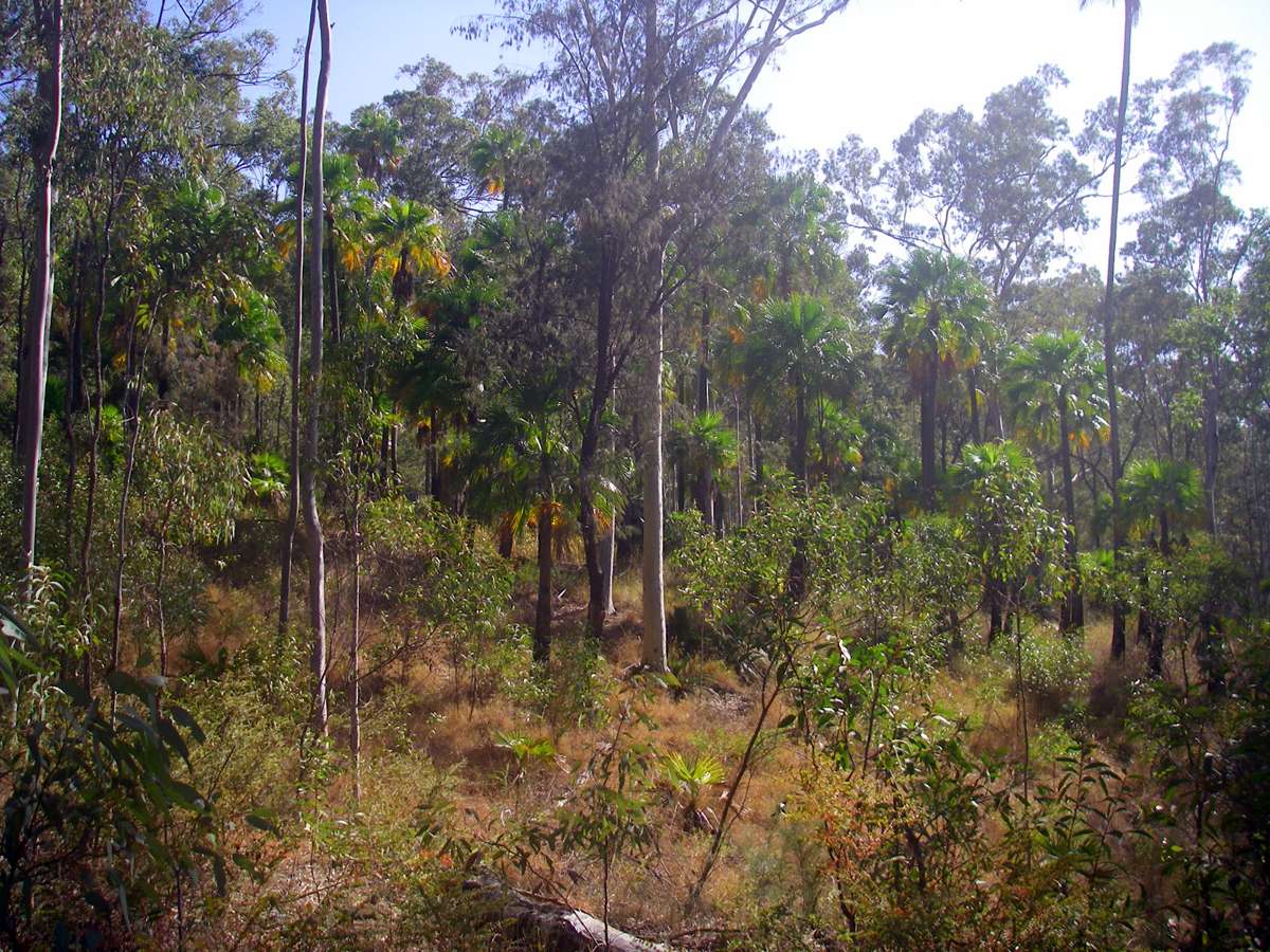
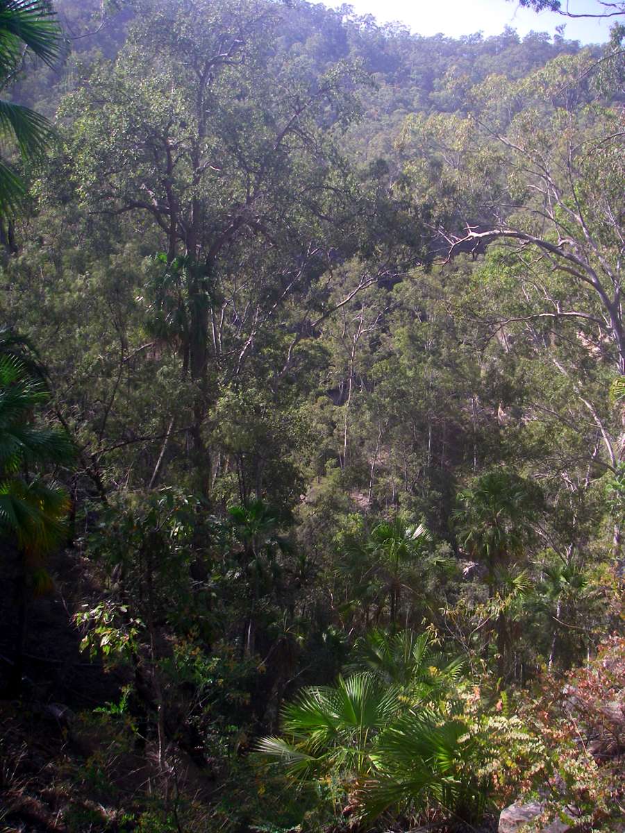
The palms form forests at some points along the track.
Photo: Don Hitchcock, August 2009
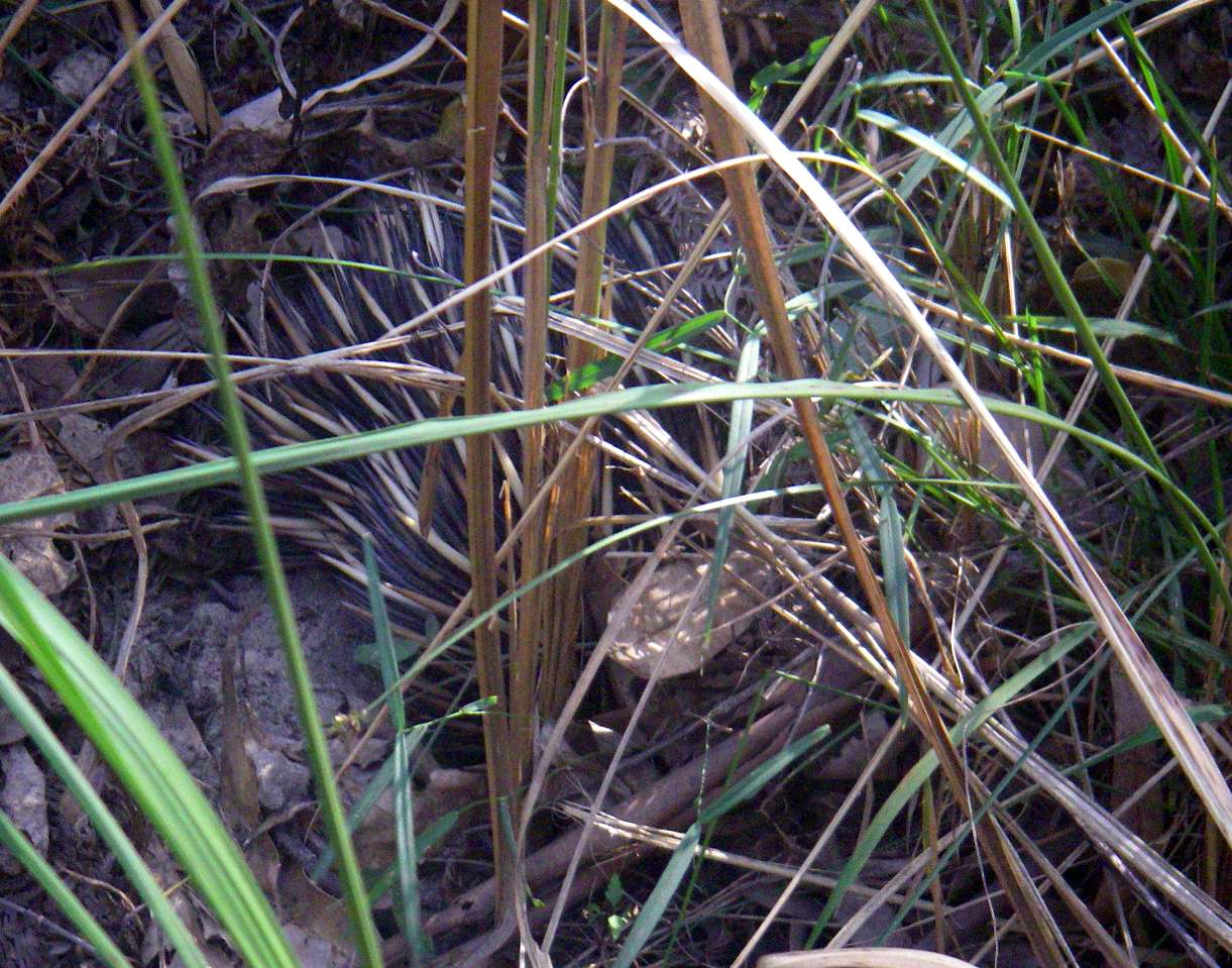
Echidnas are shy. It is rare to see them walking, the normal thing is to come across them trying to hide by digging into the ground, leaving only their spines exposed.
Photo: Don Hitchcock, August 2009
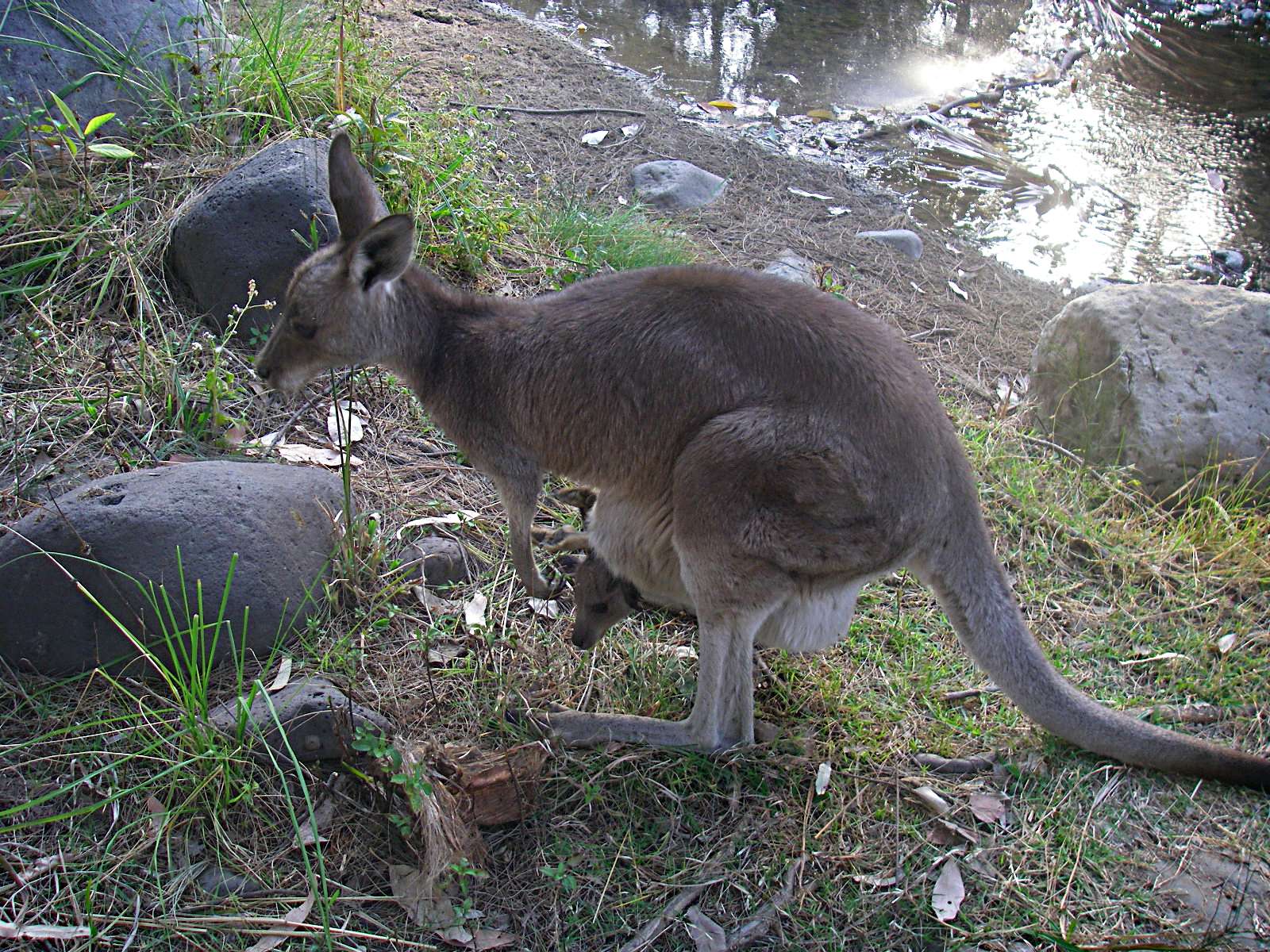
The kangaroos are not so flighty. They seem unconcerned about the humans sharing the valley with them. The Joey in its mother's pouch is already getting a little large for the space available, as can be seen by the toes peeping out of the pouch. They dive in head first when danger approaches, and their developing legs do not fit neatly into the pouch any more, though they can wriggle around and poke their heads out.
Photo: Don Hitchcock, August 2009
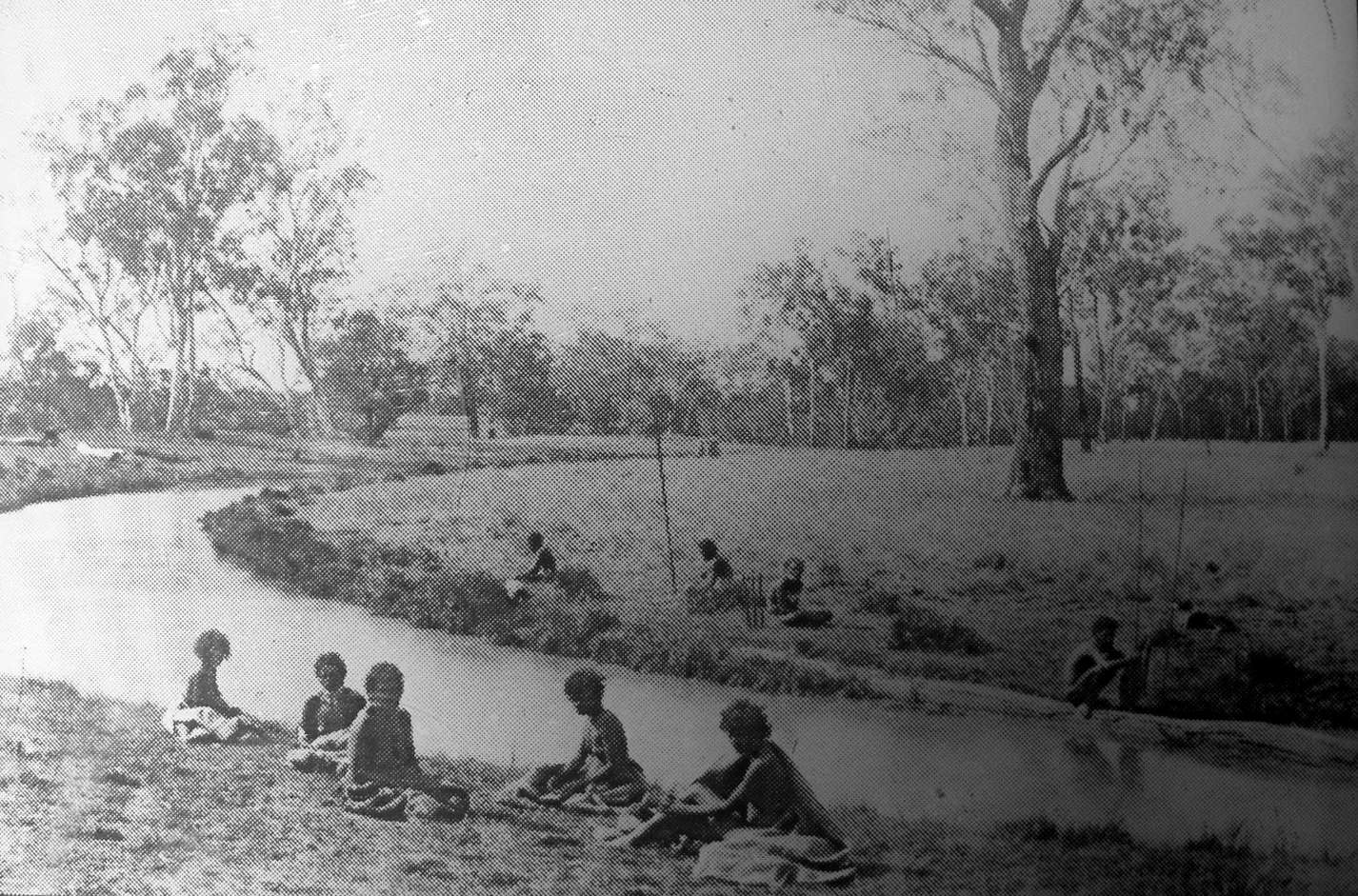
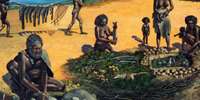
Aborigines on the Brown River. An enlargement of a section of a glass plate photograph taken in the 1880s.
Note the 'King Plate' hung around the neck of one Aborigine on the far left bank and positioning of weapons, a standard defense position with Aborigines on the alert.
Photo: Don Hitchcock, August 2009
Source and text: Sign, Carnarvon National Park
Mickeys Creek Gorge and Warrumbah Creek Gorge
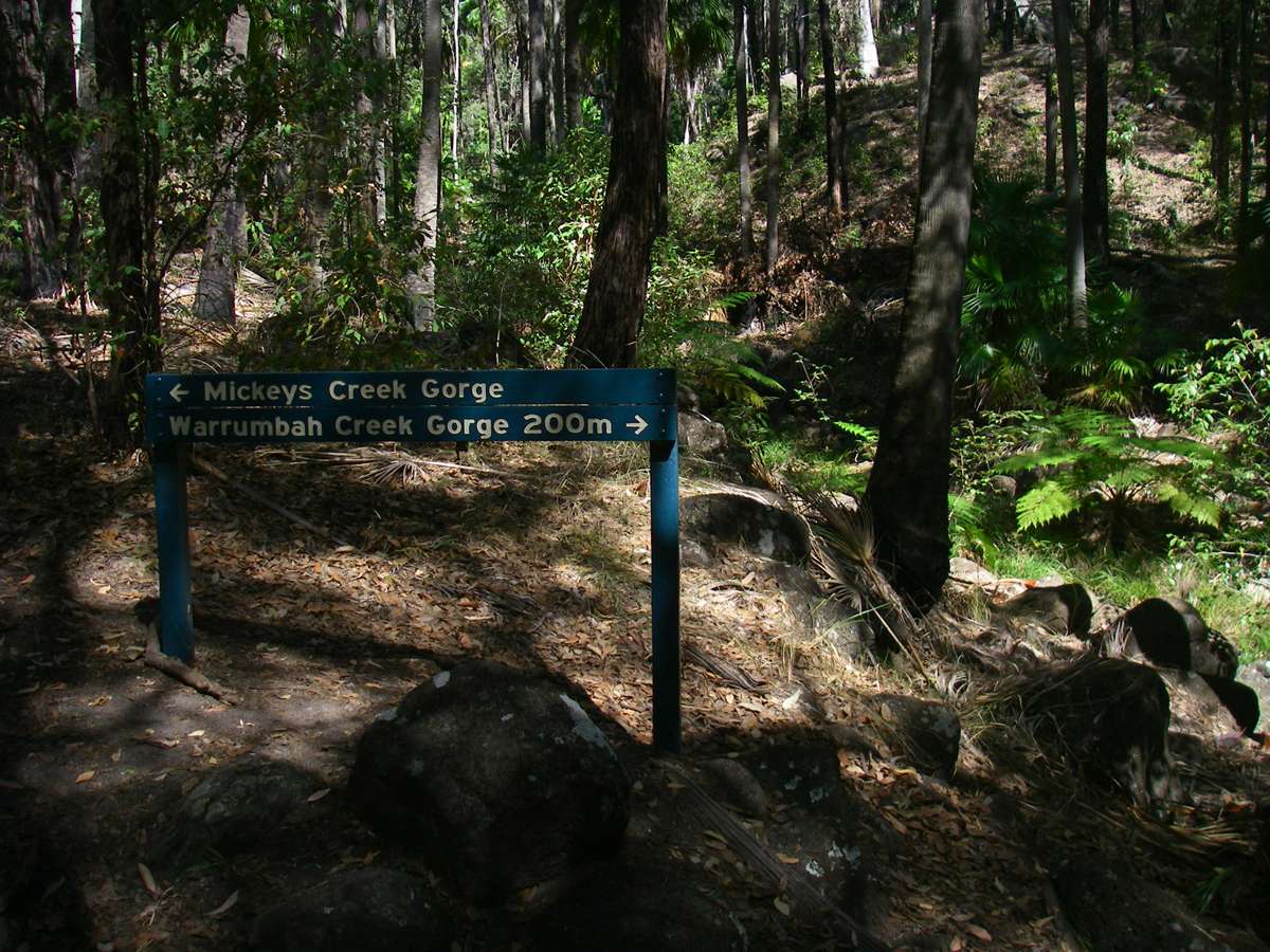
Mickeys Creek Gorge and Warrumbah Creek Gorge sign.
Photo: Don Hitchcock, August 2009
Mickeys Creek Gorge.
Photo: Don Hitchcock, August 2009


Warrumbah Creek Gorge.
Photo: Don Hitchcock, August 2009

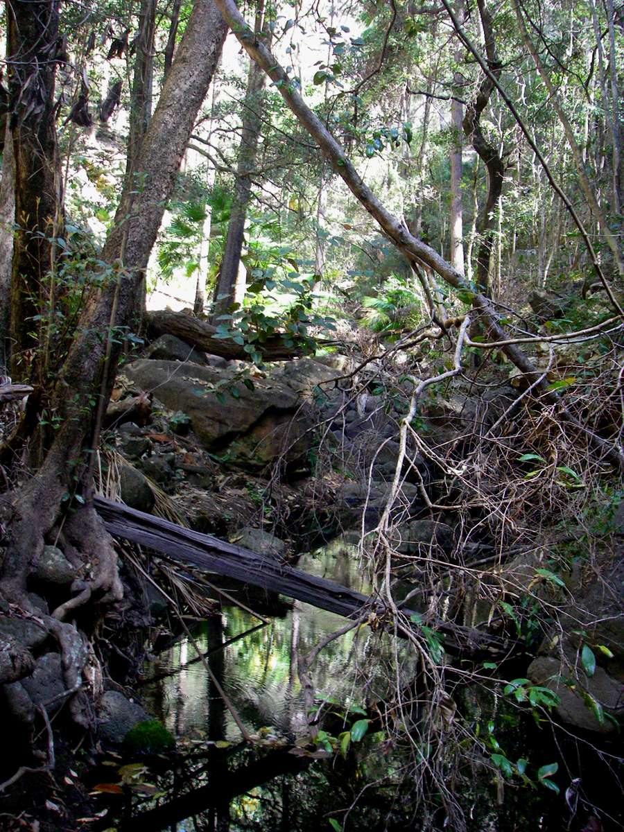
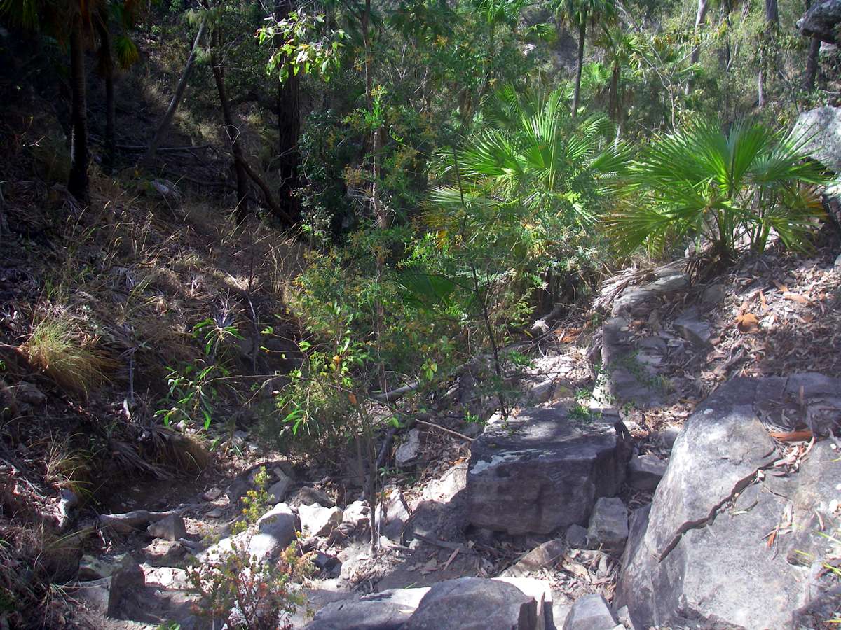
The gorge maintained its width for a long distance. There were occasional pools to be negotiated.
Photo: Don Hitchcock, August 2009
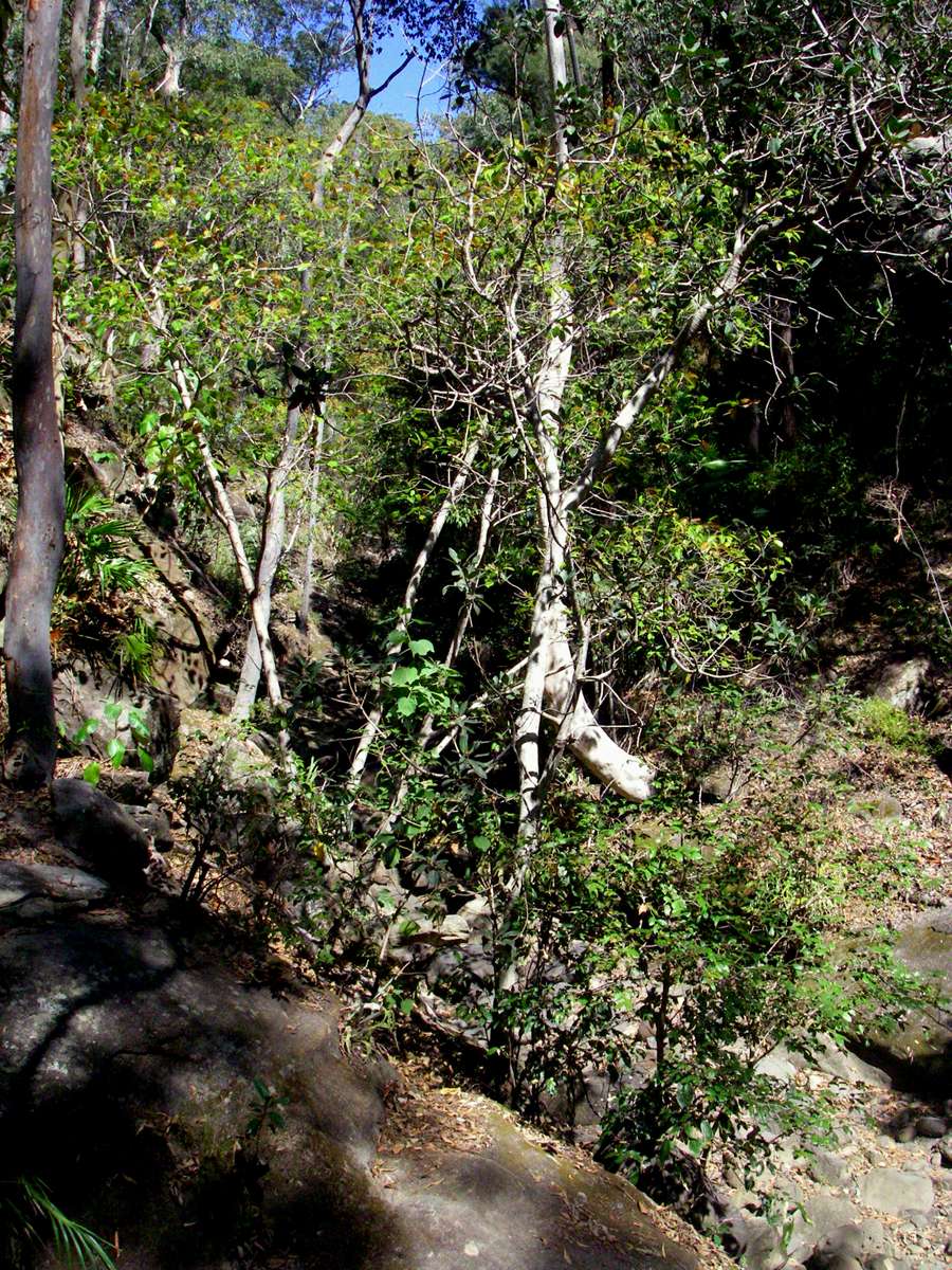
Gradually the walls closed in.
Photo: Don Hitchcock, August 2009

Finally we were stopped by a long and deep pool.
Photo: Don Hitchcock, August 2009


On the way back, we saw this chock stone high above.
Photo: Don Hitchcock, August 2009

Balancing on a log brought down by a flood.
Photo: Don Hitchcock, August 2009

This looked like chert, but it could not have been chert in freshwater sediments. Perhaps it was a deposit of silica from some other source.
Photo: Don Hitchcock, August 2009
Swainsona and a Hibiscus on the walk out.
Photo: Don Hitchcock, August 2009
Boolimba Bluff

Boolimba Bluff turnoff is clearly marked, as are all the side trips in the Park.
Photo: Don Hitchcock, August 2009
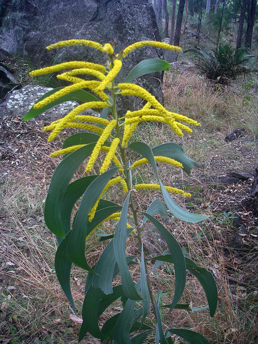
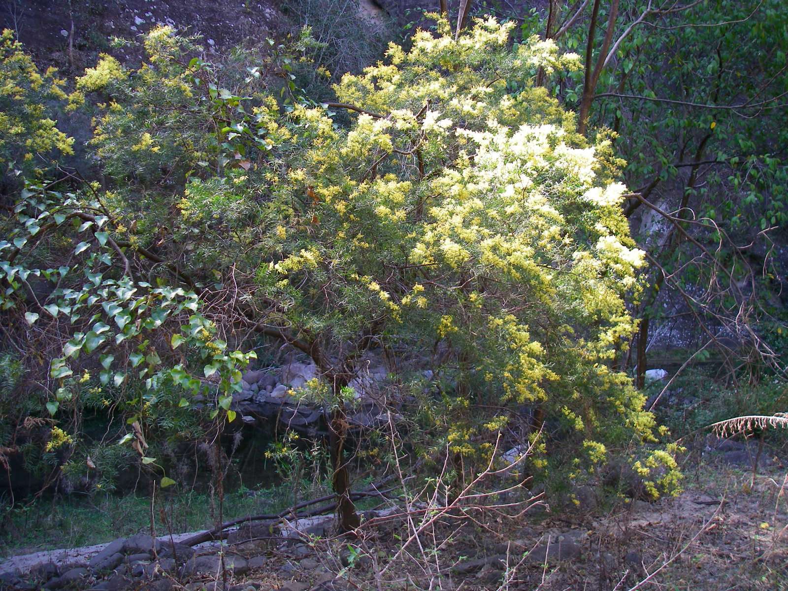
That we were in a different ecosystem as we went up the ridge is attested to by this wattle, not seen in the Carnarvon Creek area. It is a precocious flowerer, most wattles do not flower at such a young stage.
Photo: Don Hitchcock, August 2009
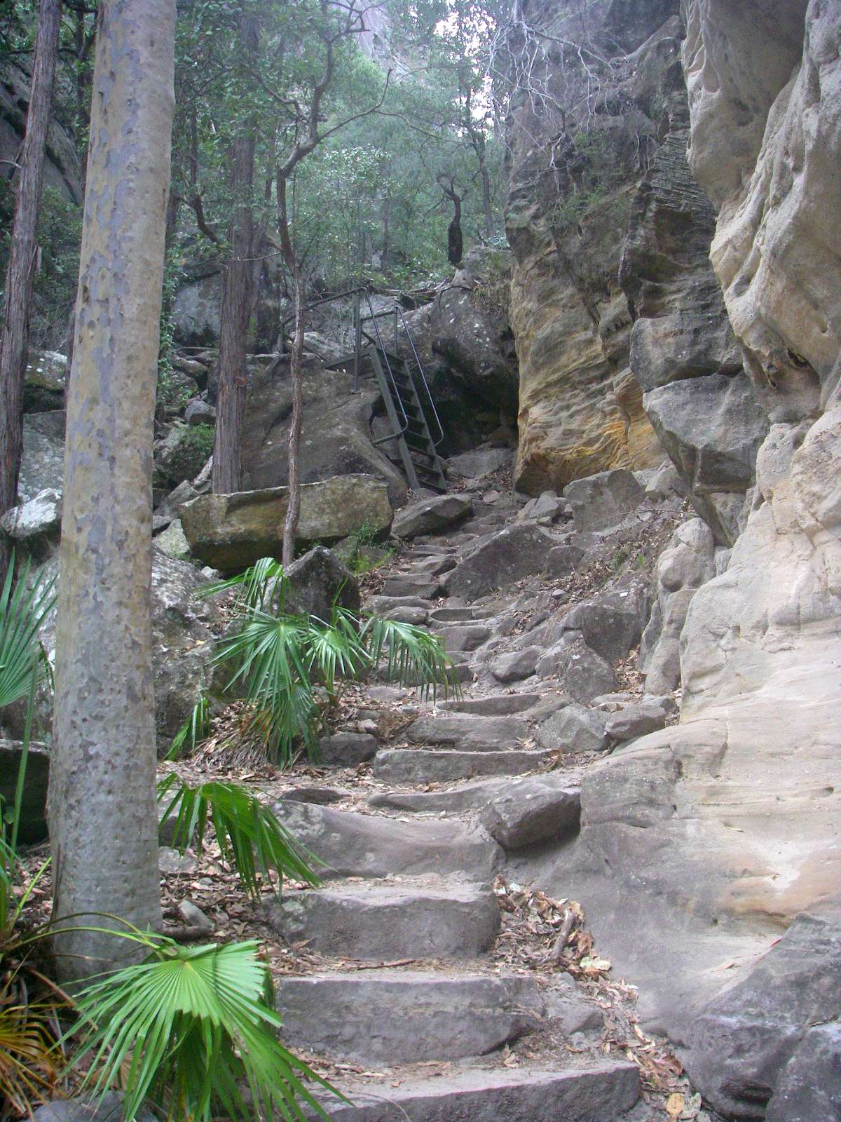
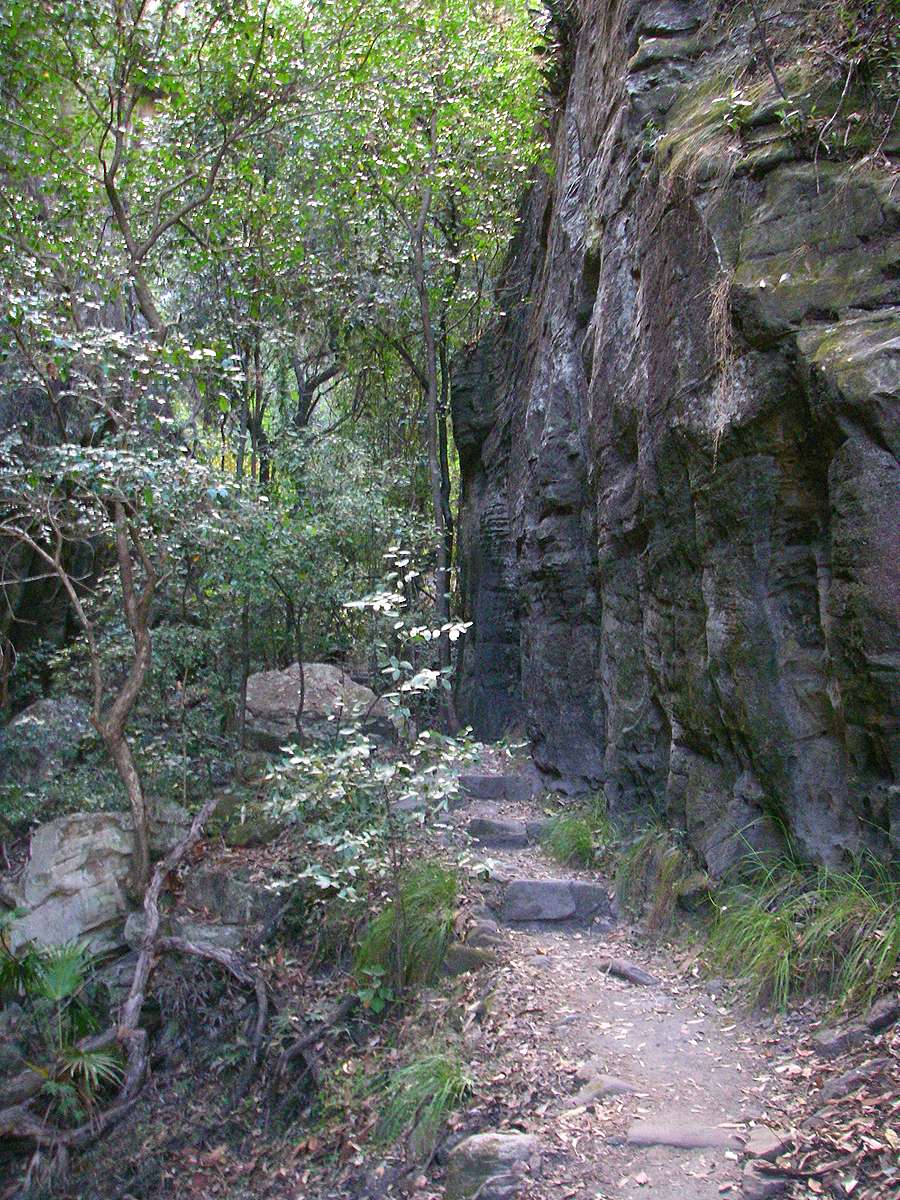
The track is well maintained, and has stairs at the steeper parts.
Photo: Don Hitchcock, August 2009
The entry to Carnarvon Gorge looking downstream from Boolimba Bluff - the gorge proper begins to the right of the photograph
Photo: Don Hitchcock, August 2009
After a relatively long walk across the top of the plateau, this lookout at Boolimba Bluff is reached. Note the puddle hollows to the right foreground of this photograph.
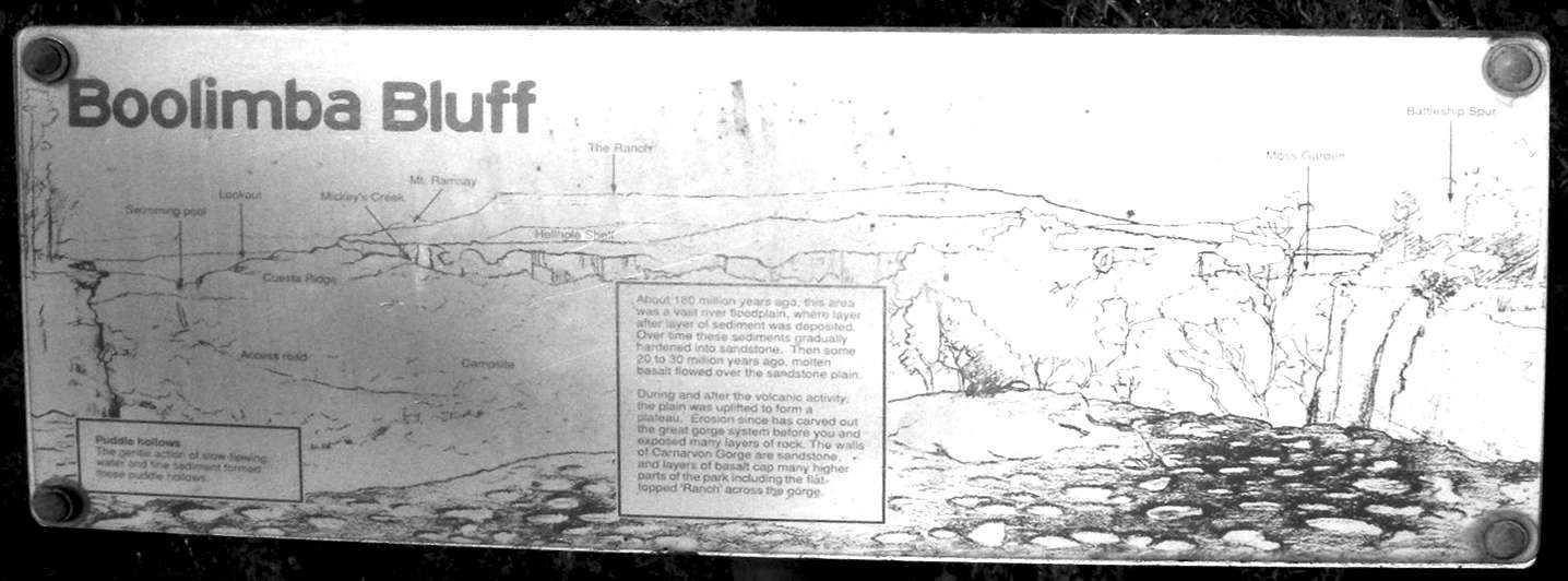
About 180 million years ago, this area was a vast river floodplain, where layer after layer of sediment was deposited. Over time these sediments gradually hardened into sandstone. Then some 20 to 30 million years ago, molten basalt flowed over the sandstone plain.
During and after the volcanic activiy, the plain was uplifted to form a plateau. Erosion since has carved out the great gorge system before you and exposed many layers of rock. The walls of Carnarvon Gorge are sandstone, and layers of basalt cap many higher parts of the park including the flat-topped 'Ranch' across the gorge.
Puddle hollows
The gentle action of slow flowing water and the deposition of fine sediment formed these puddle hollows, now hardened into stone.
Photo: Don Hitchcock, August 2009
Text: Carnarvon National Park Sign
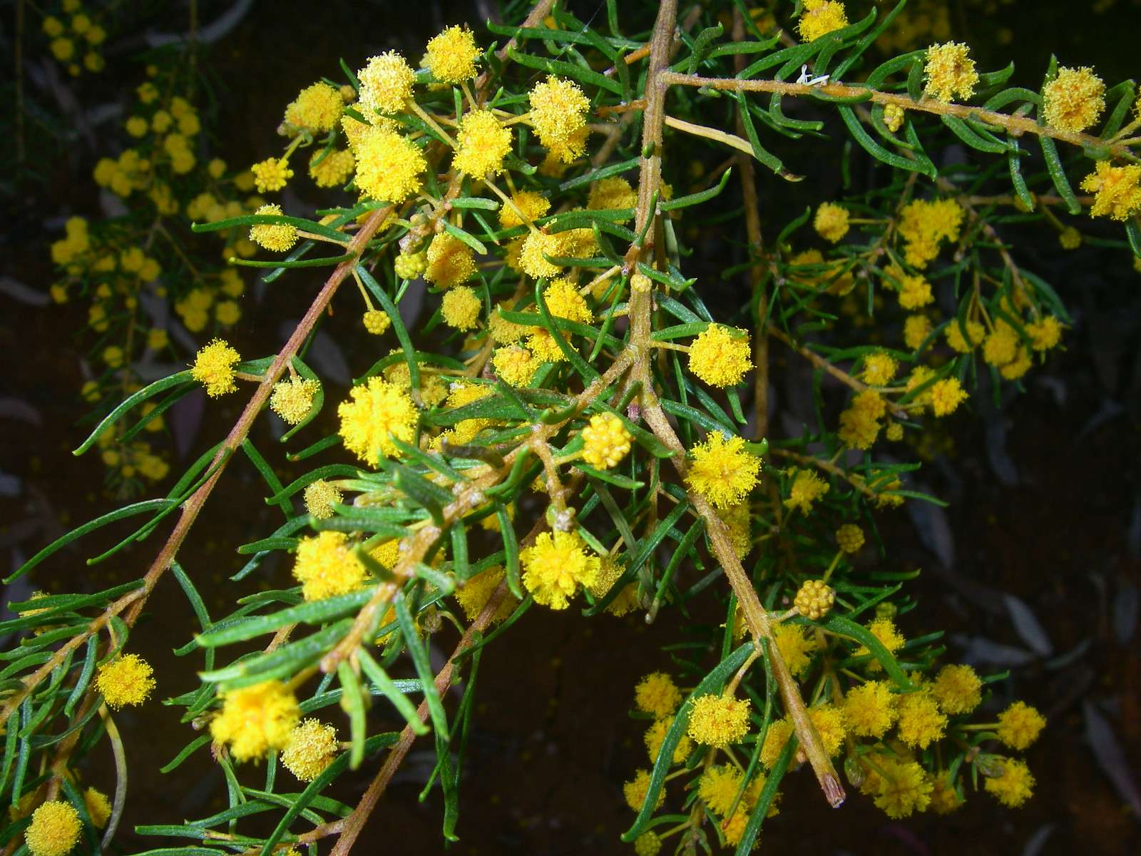
On the way back I noticed this wattle with ball shaped flowers.
Photo: Don Hitchcock, August 2009
The Moss Garden
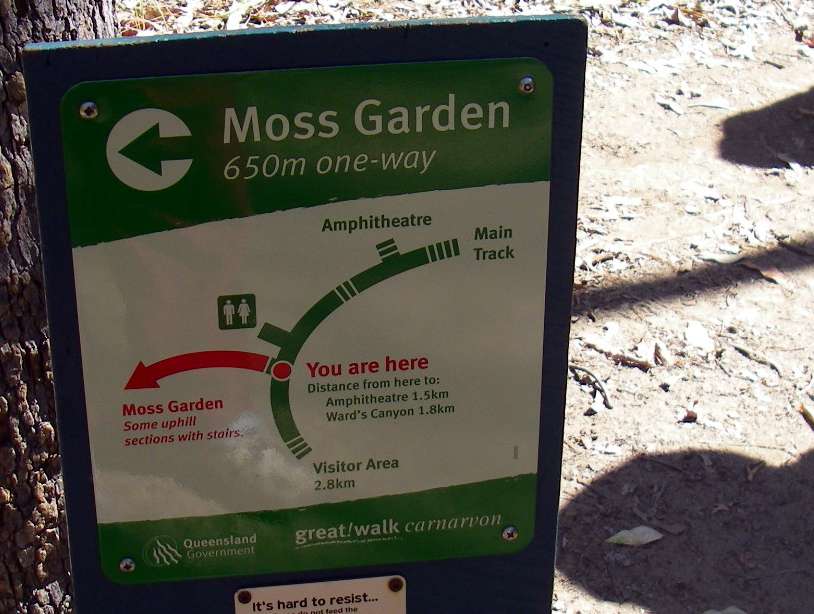
The first side trip after Boolimba Bluff when headed up Carnarvon Creek is to the Moss Garden.
Photo: Don Hitchcock, August 2009

An Australian fig tree.
Photo: Don Hitchcock, August 2009

The side gorge narrows and becomes heavily vegetated.
Photo: Don Hitchcock, August 2009
The atmosphere was cool and moist.
Photo: Don Hitchcock, August 2009
Sign
Photo: Don Hitchcock, August 2009
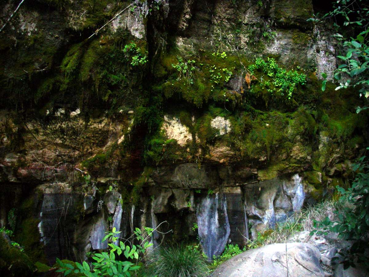
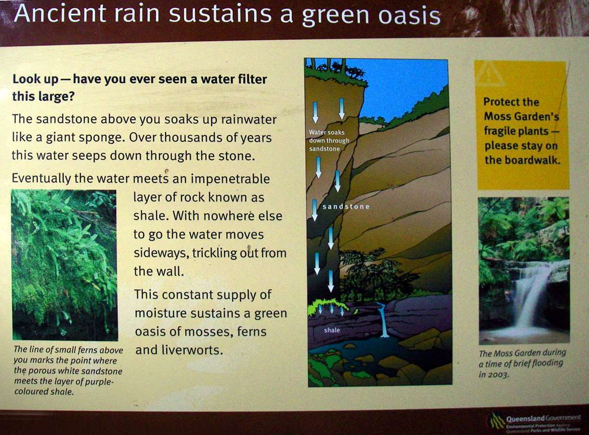
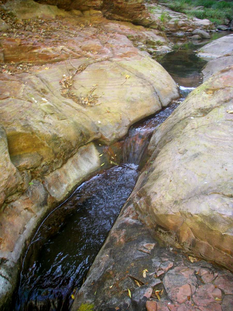
Stream flowing into the Moss Garden, over the layer of shale. The sandstone has been worn away at this entry point.
Photo: Don Hitchcock, August 2009
As the water seeps out of the sandstone at the junction with the impervious shale layer, it provides ideal conditions for the growth of moss, ferns and similar moisture loving plants.
Photo: Don Hitchcock, August 2009

The cliffs provide an everchanging backdrop to the lush vegetation in the gorge.
Photo: Don Hitchcock, August 2009
Macrozamia moorei is a cycad in the family Zamiaceae, native to Queensland.
It is the tallest-growing species of Macrozamia, growing to 7 m tall with a trunk 50-80 cm diameter. It has keeled leaves up to 2.5 m long, with short petioles bearing numerous spines, and 120-220 leaflets, each leaflet 20-35 cm long and 5-10 mm broad.
Text: Wikipedia
Aborigines used the seeds as food after they were treated to remove the cyanide they contain.
Photo: Don Hitchcock, August 2009
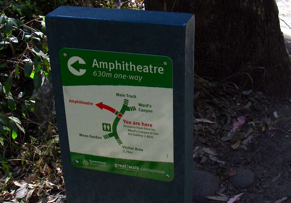
The Amphitheatre
I was very impressed with the signage all along the track.
Photo: Don Hitchcock, August 2009
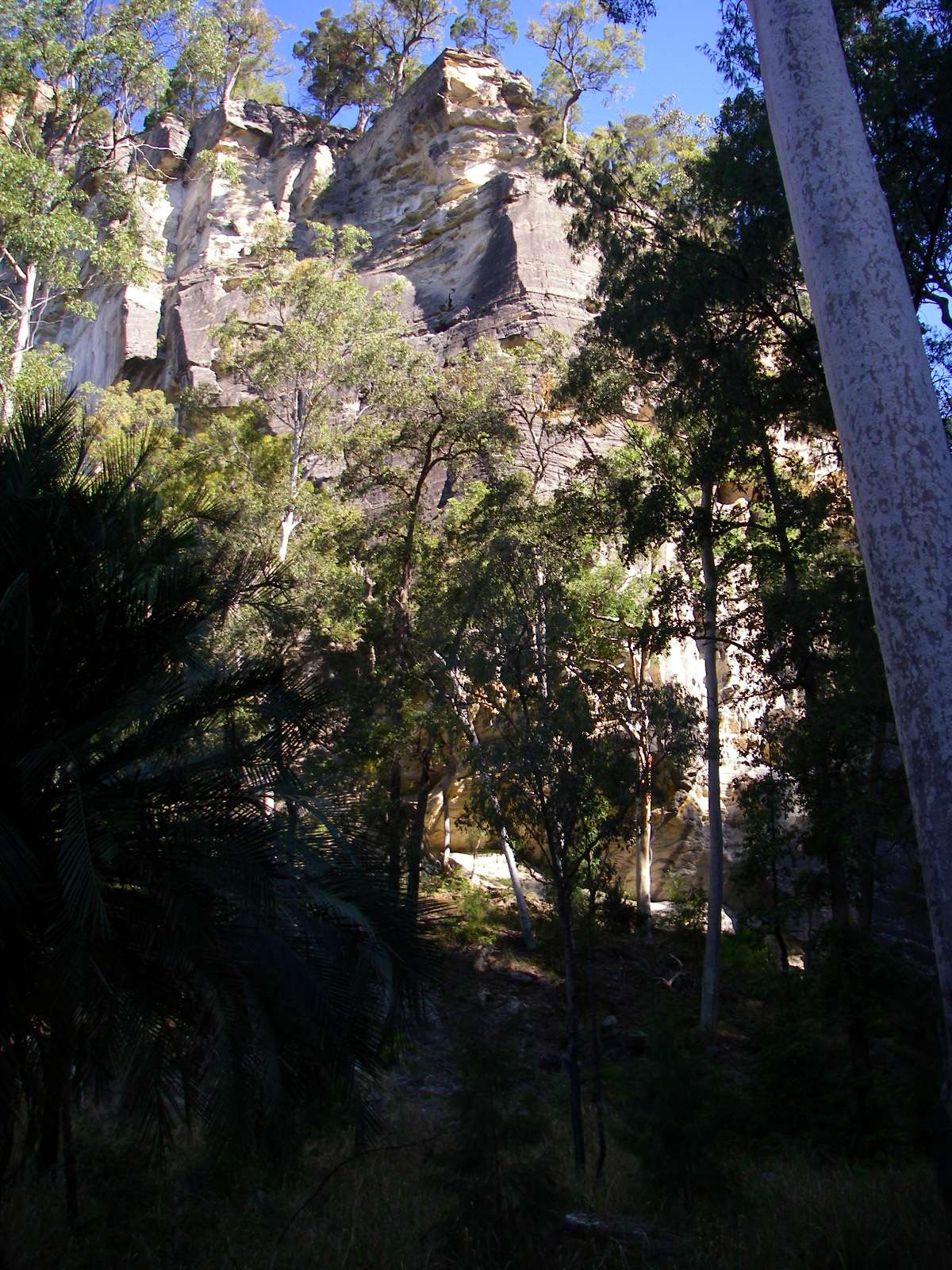
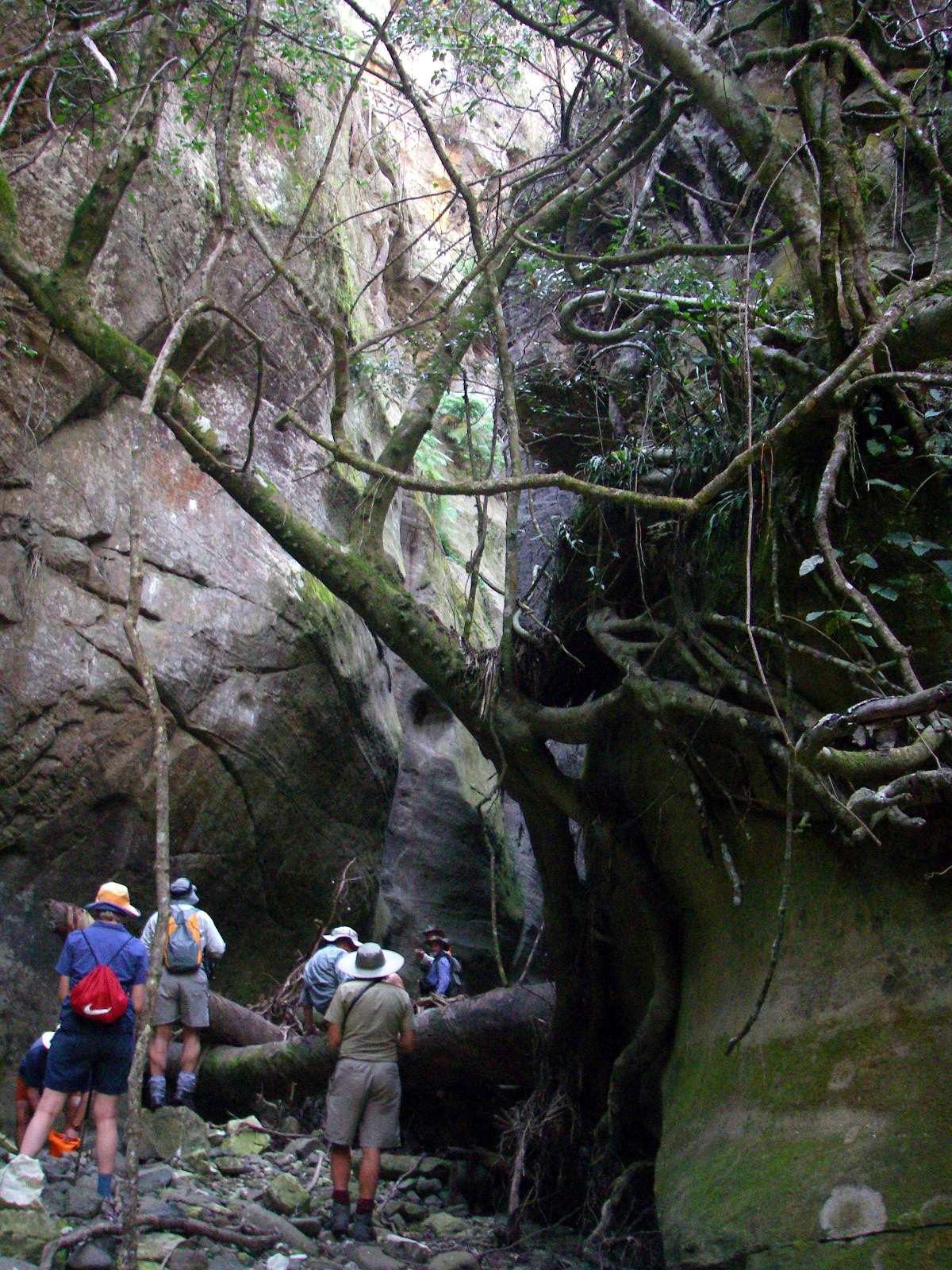
On the way in to the Amphitheatre.
Photo: Don Hitchcock, August 2009
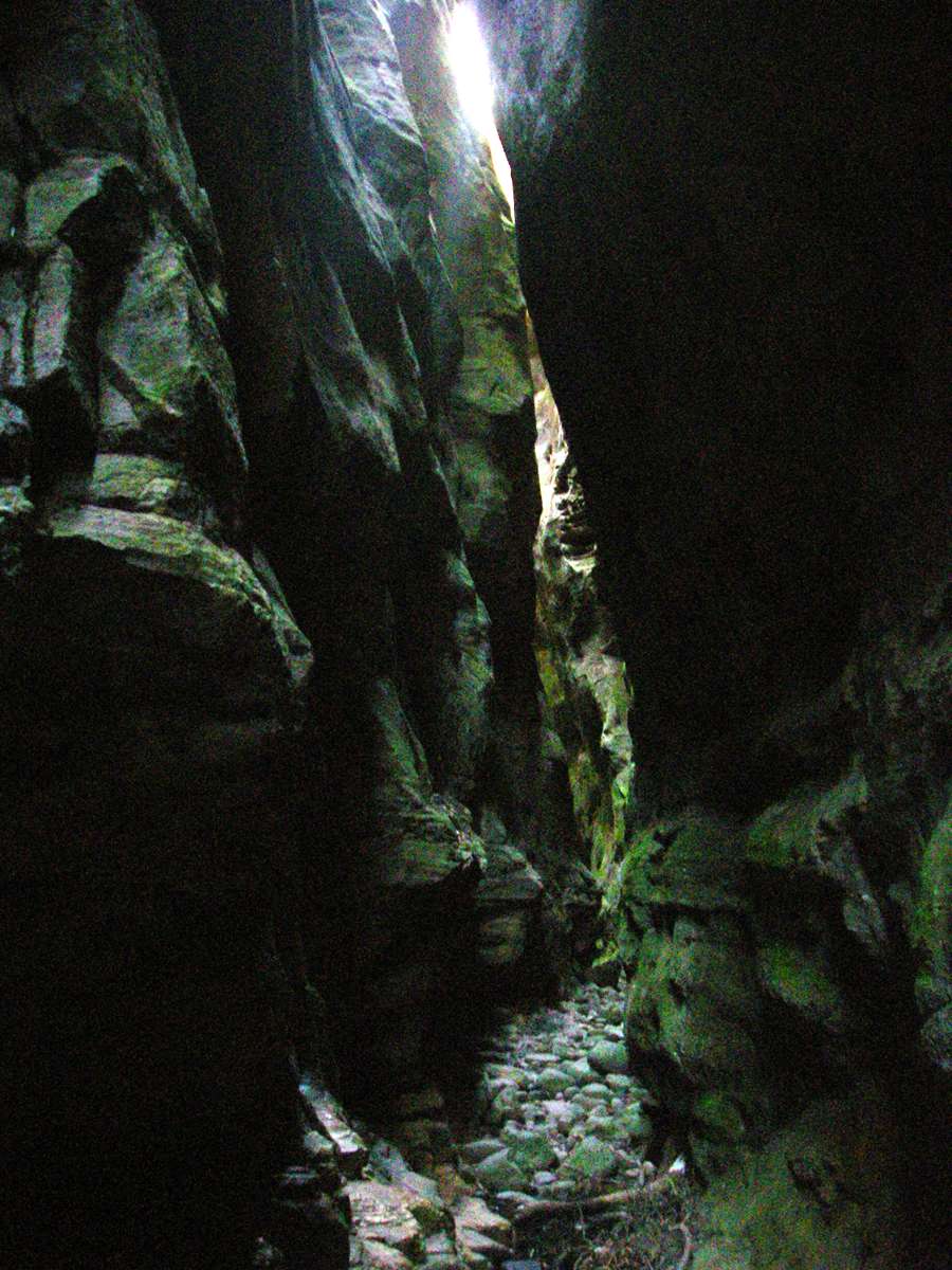
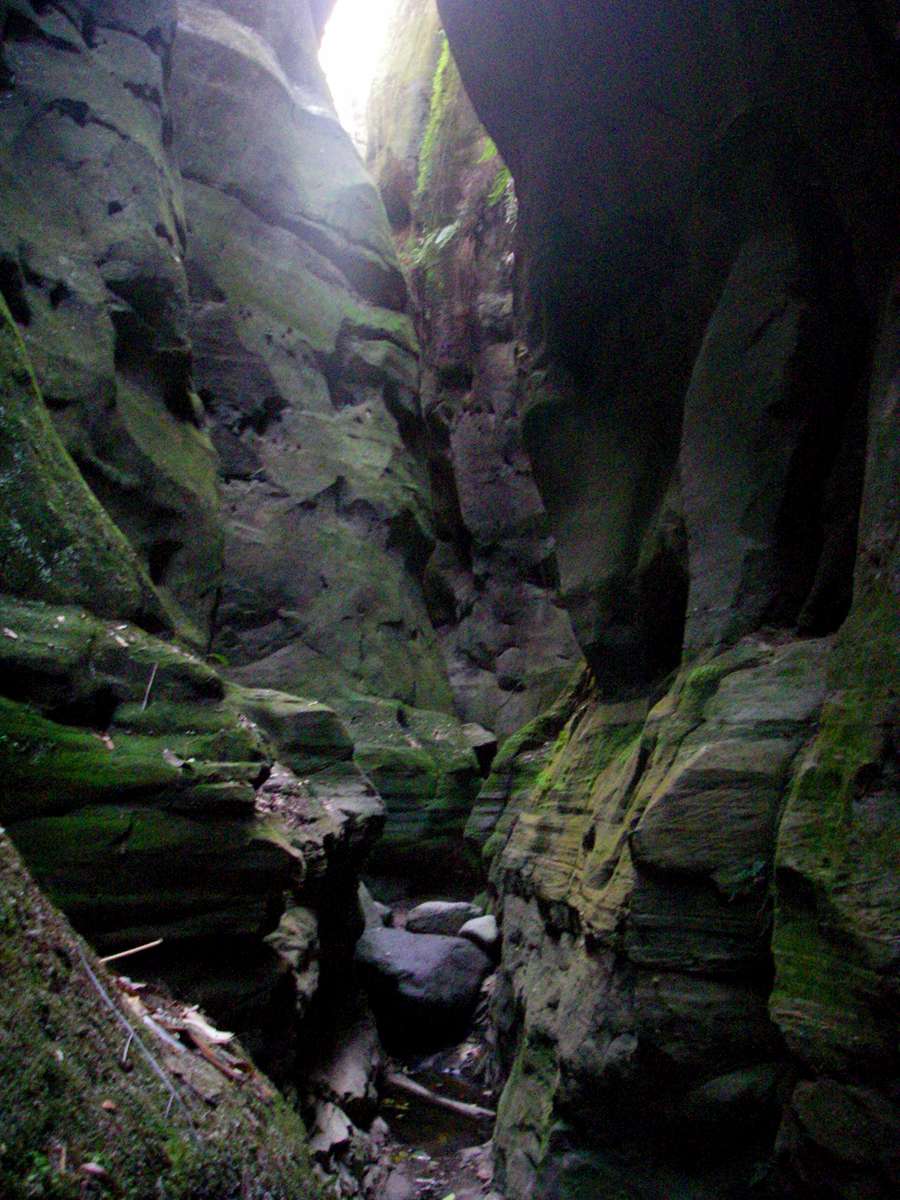
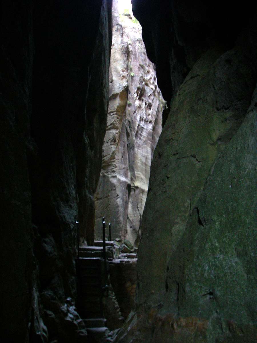
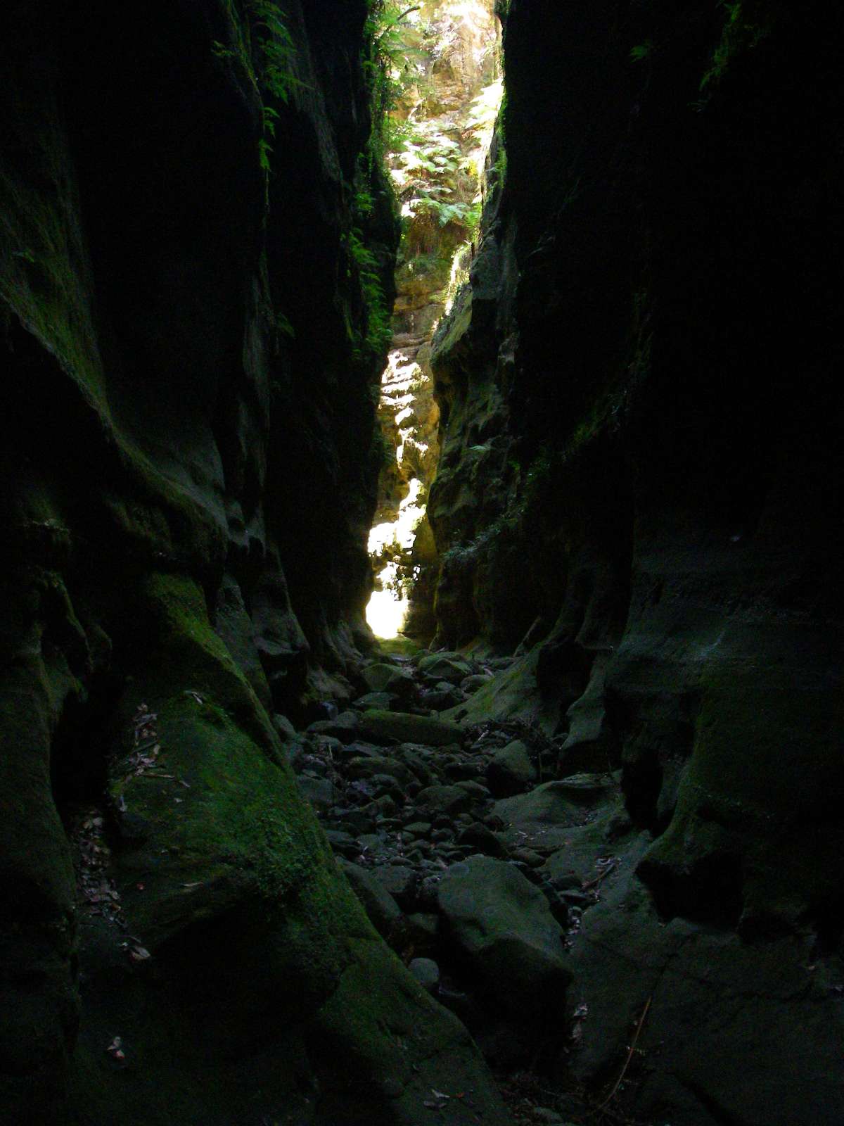
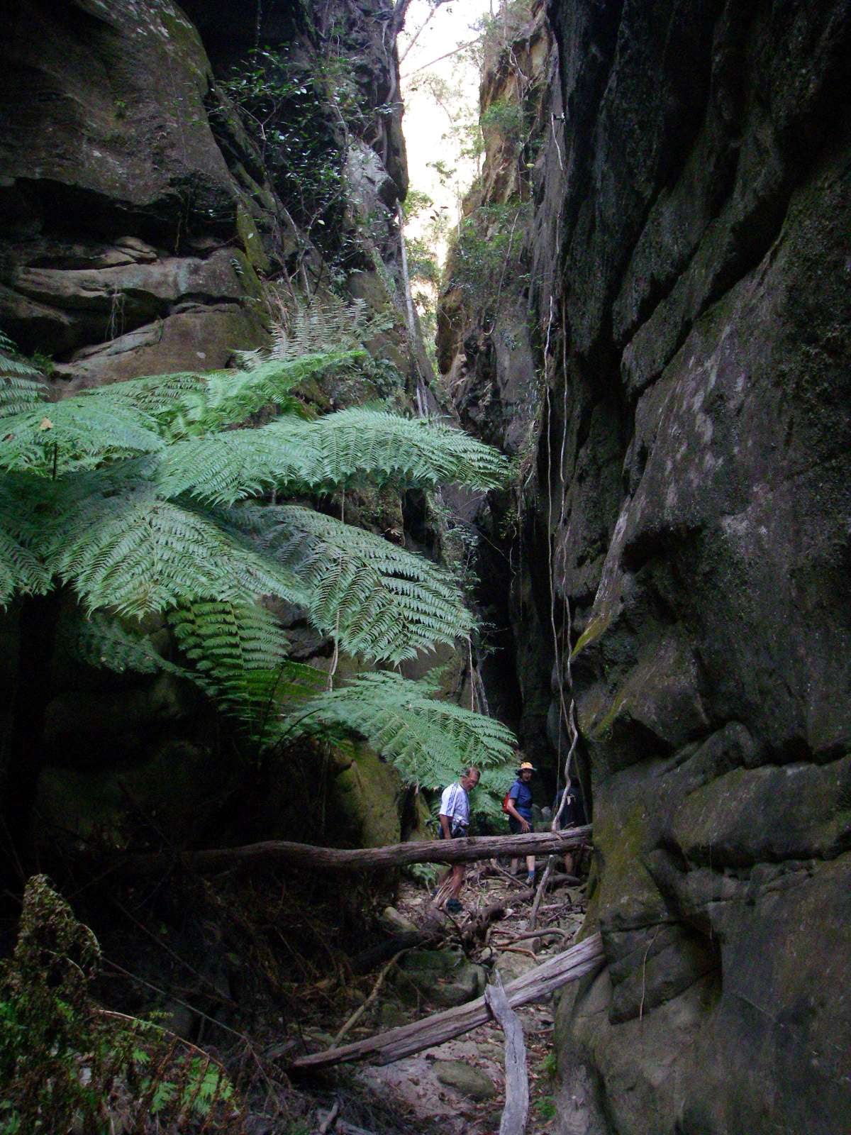
The slot in the cliffs becomes apparent.
Photo: Don Hitchcock, August 2009
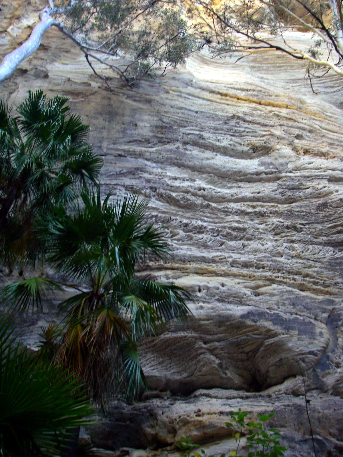
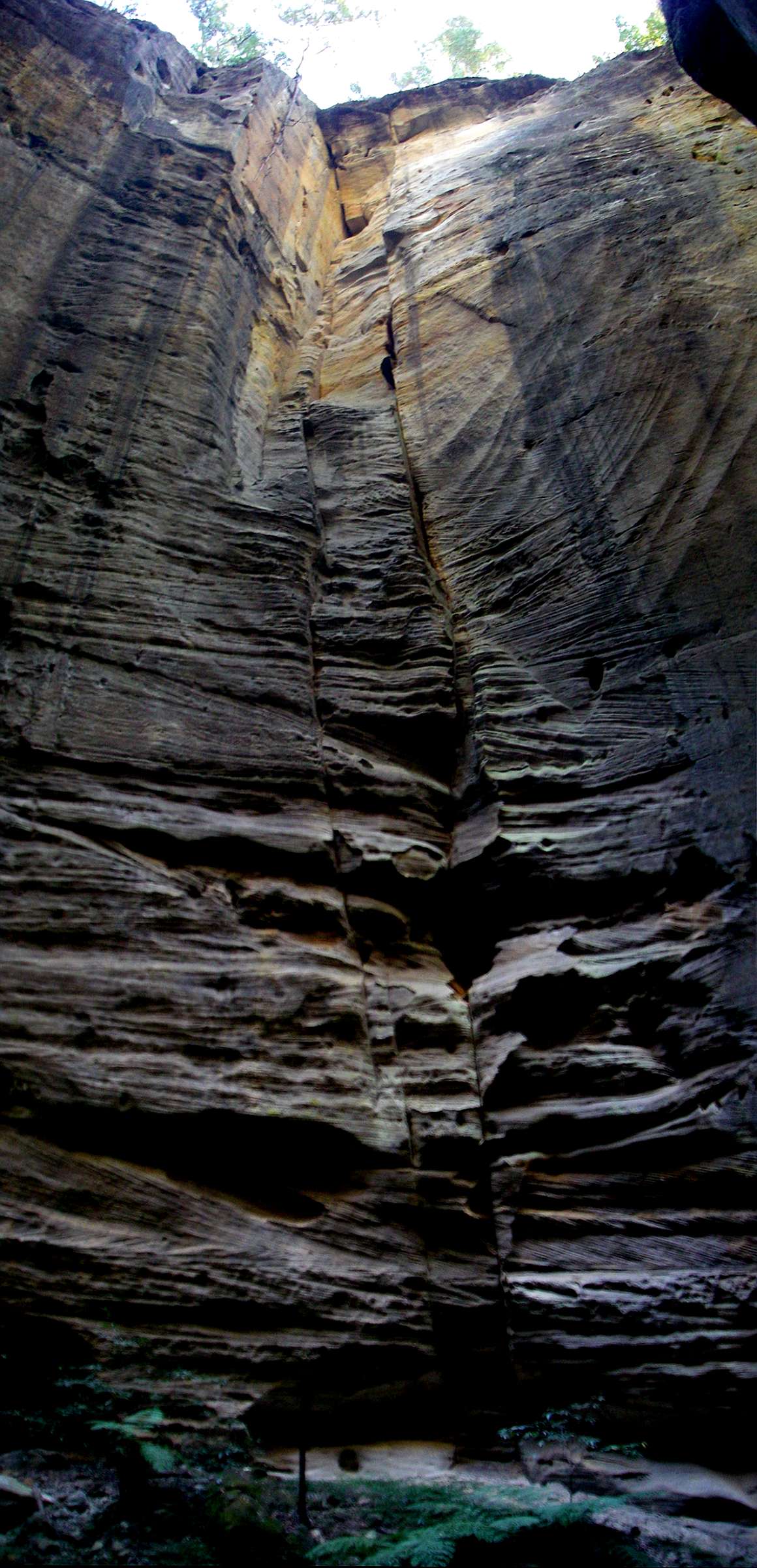
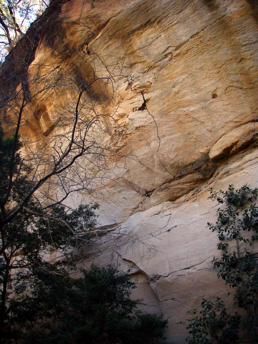
The cross bedding in the sandstone has been emphasised by differential weathering.
Photo: Don Hitchcock, August 2009

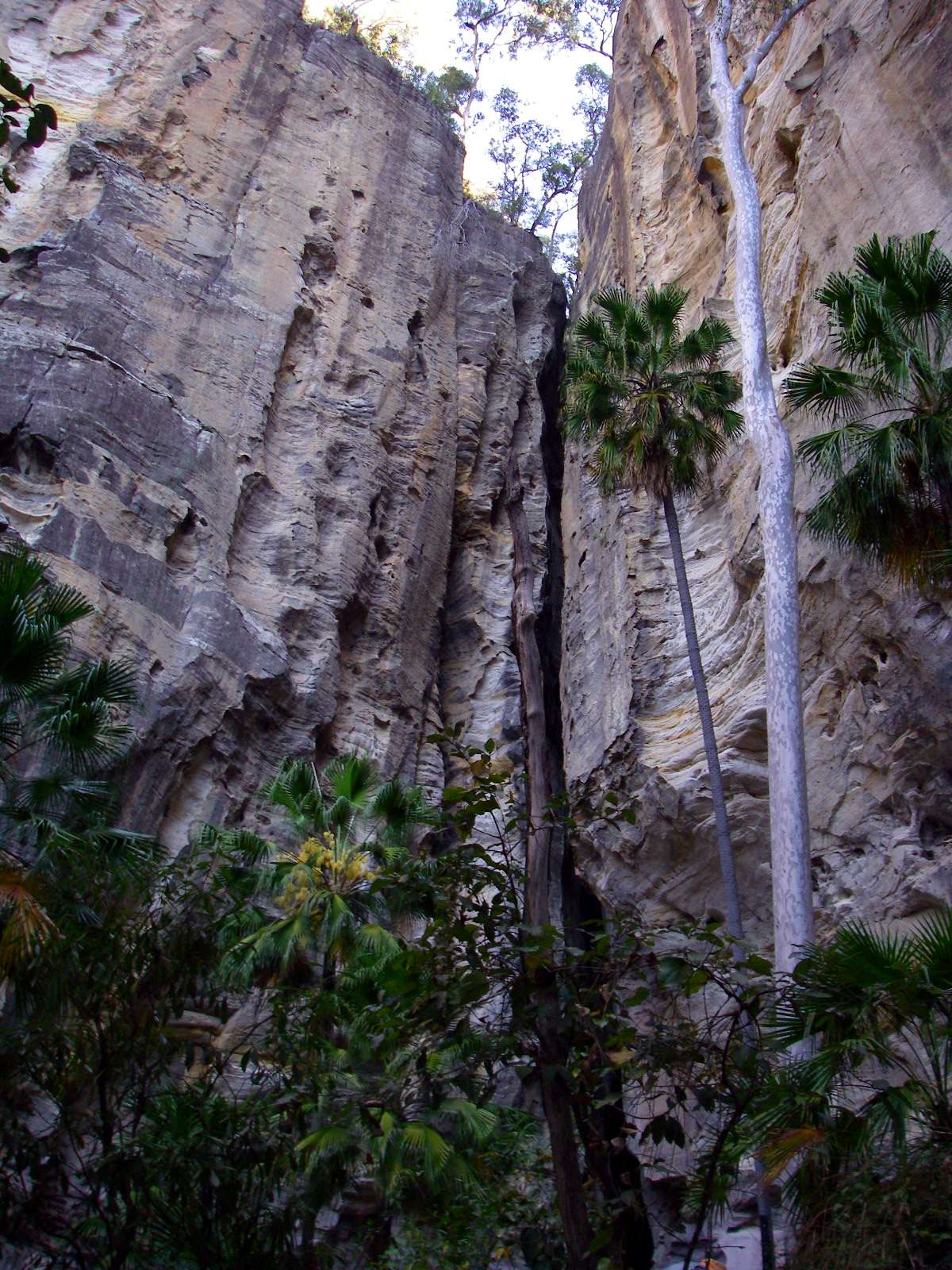
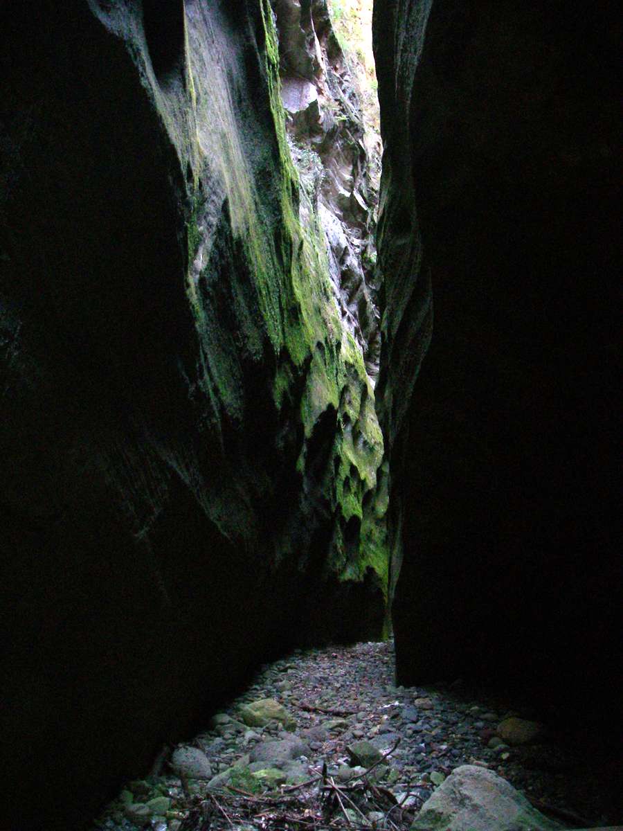
The slot of the entry to the Amphitheatre is very impressive.
This is a vertical panorama of two photographs stitched together.
Photo: Don Hitchcock, August 2009
Steps have been built to provide access to the amphitheatre.
Photo: Don Hitchcock, August 2009
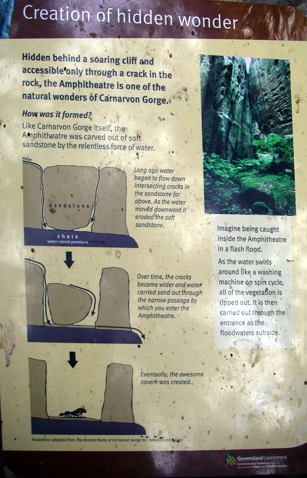
Explanation of the formation of the amphitheatre.
Photo: Don Hitchcock, August 2009
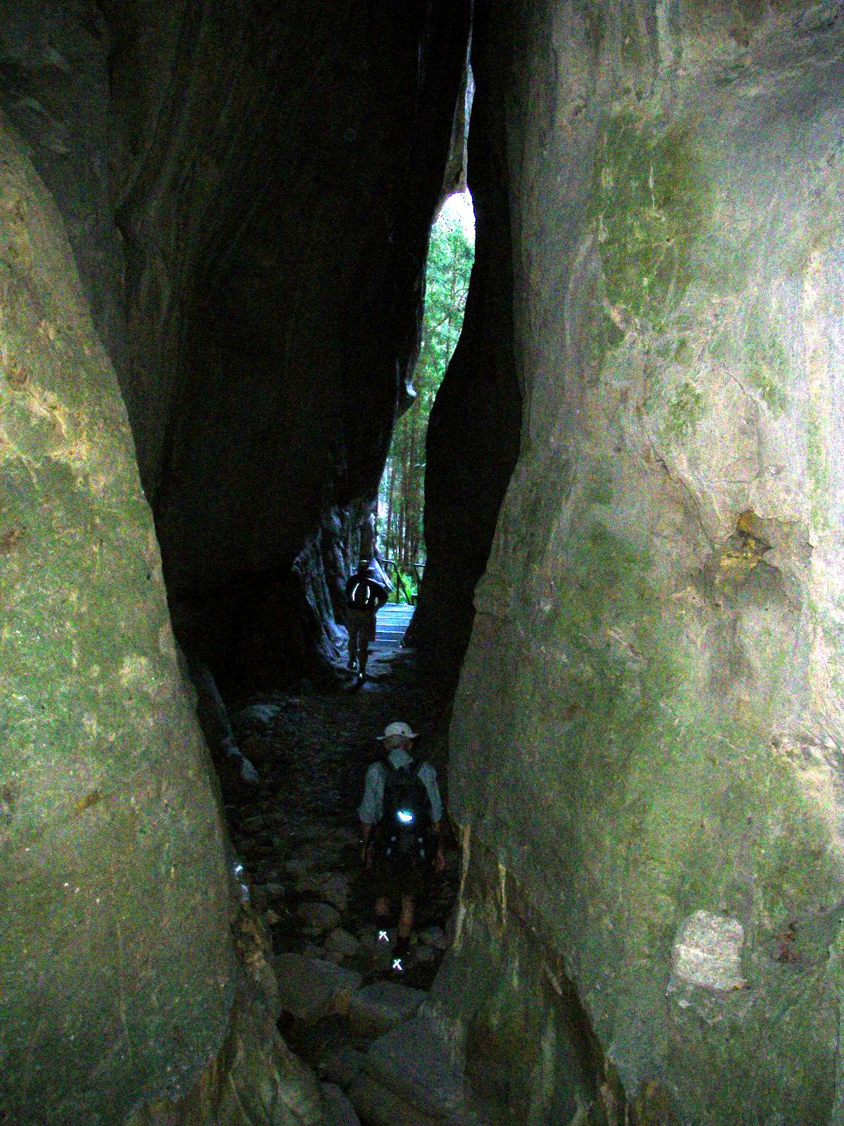
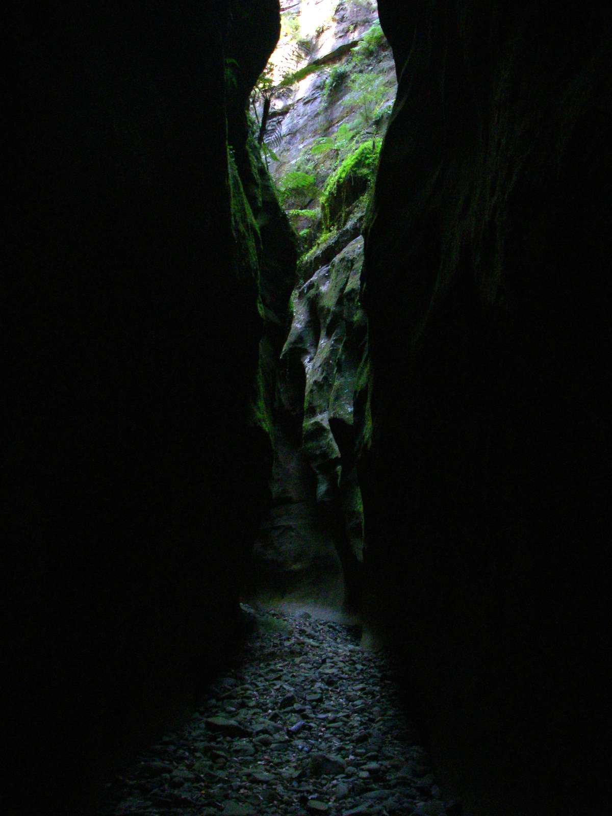
Entering the slot of the amphitheatre.
Photo: Don Hitchcock, August 2009
Inside the amphitheatre.
This is a vertical panorama of two photographs stitched together.
Photo: Don Hitchcock, August 2009

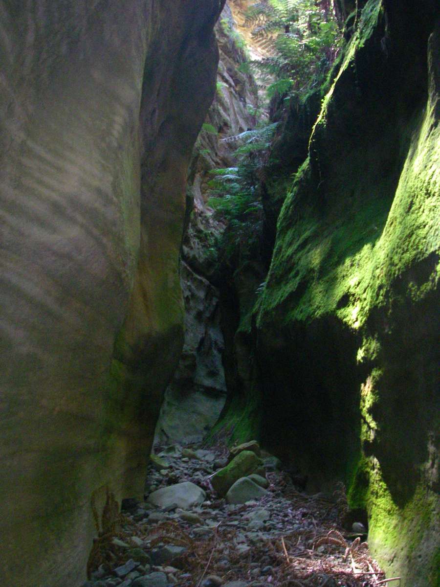
Exiting the amphitheatre.
Photo: Don Hitchcock, August 2009
View of the entry to the amphitheatre, looking out from the top of the steel steps.
The temperature difference between the heat of the main gorge and the damp coolness of the side gorges was striking, throughout this trip.
Photo: Don Hitchcock, August 2009
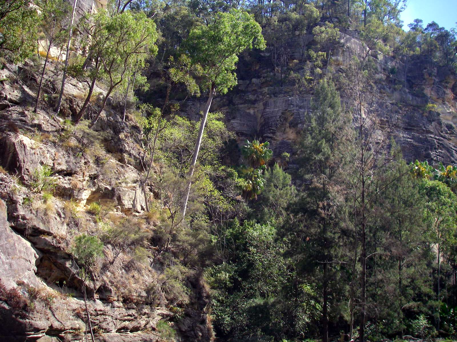
Kamoodangie Creek Canyon

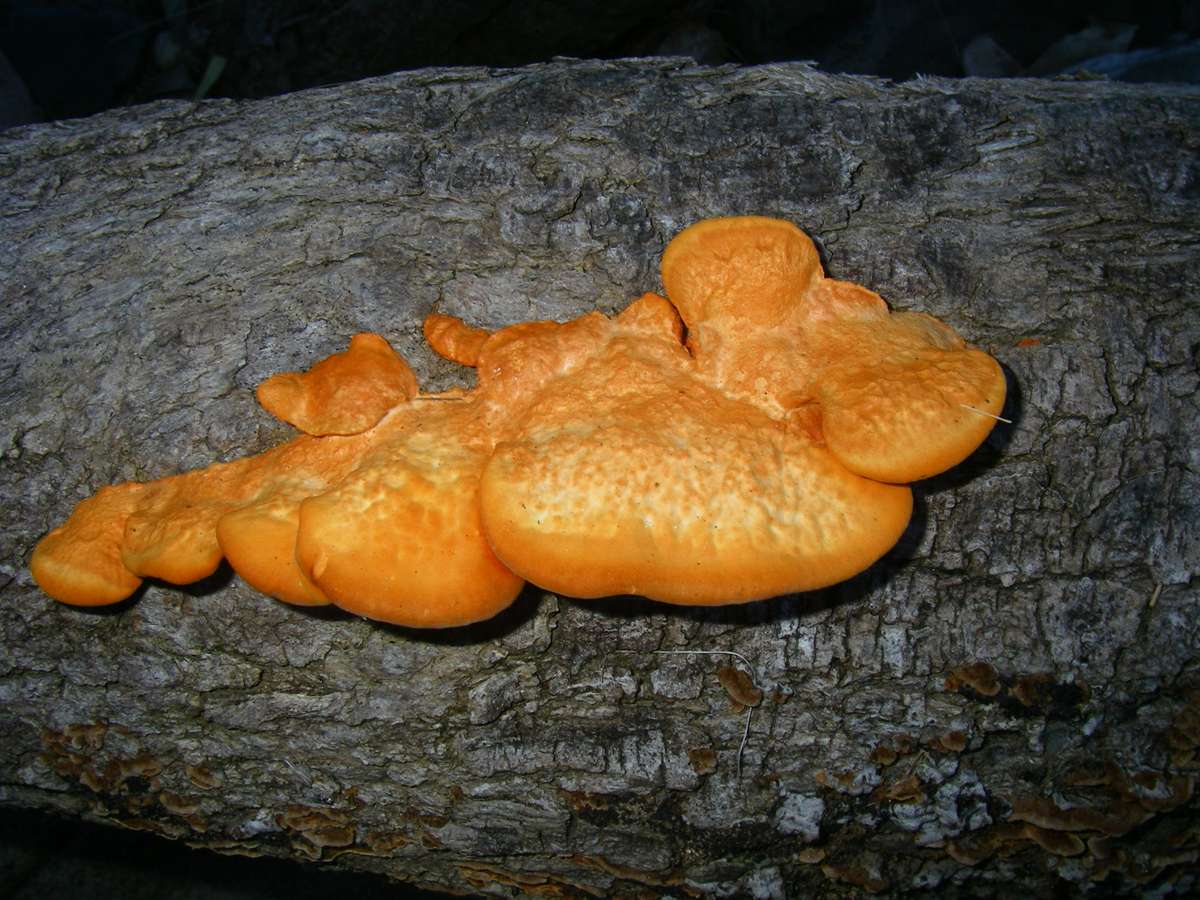
Orange bracket fungus on the way to the canyon, beside Carnarvon Creek.
Photo: Don Hitchcock, August 2009
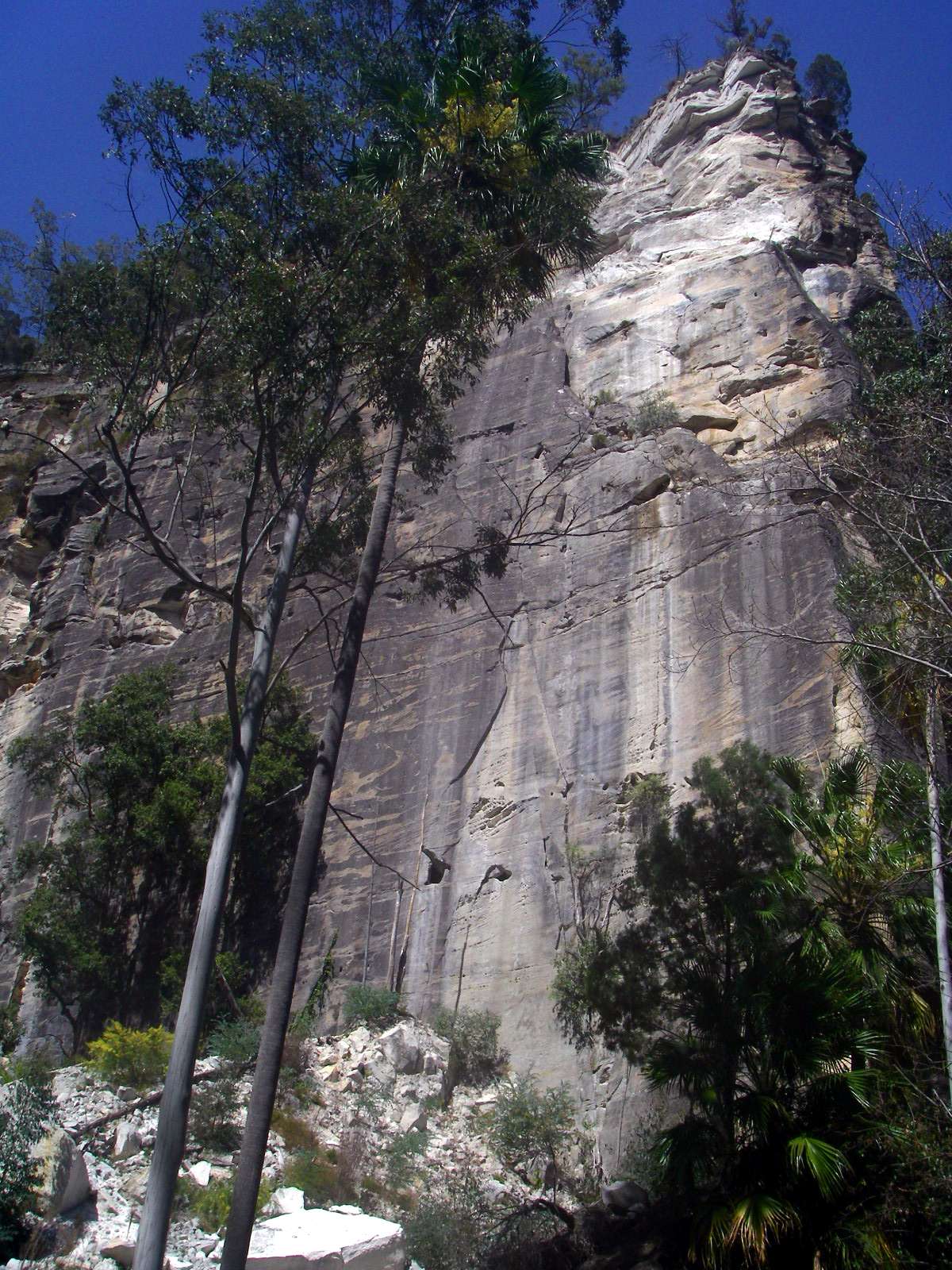
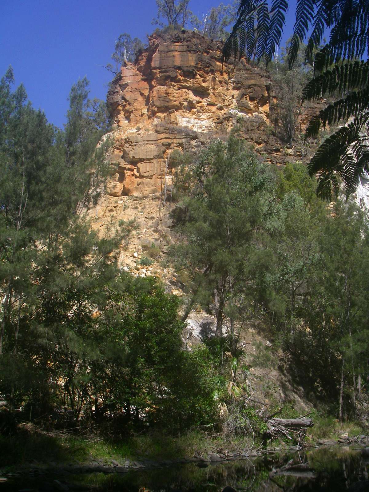
The imposing ramparts at the entrance to Kamoodangie Creek Canyon.
There is a very large scree slope at the foot of the cliff, indicating that erosion of the cliff is quite active. This can be corroborated by noting the paleness of the top of the cliff where sandstone has fallen away from the head of the cliff, leaving clean sandstone compared with the darker lichen stained wall beside it.
Photo: Don Hitchcock, August 2009

Hardenbergia violacea at the entry of the creek to Carnarvon Creek.
Photo: Don Hitchcock, August 2009
Fungus on dead wood in the tangle of rocks and fallen timber at the entry to the creek. Progress up the creek was slow at first.
Photo: Don Hitchcock, August 2009
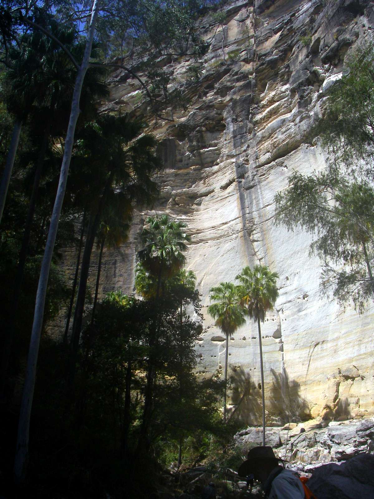
The ubiquitous palms silhouetted against the cliff demonstrate graphically the height and beauty of the walls forming the valley of Kamoodangie Creek Canyon.
Photo: Don Hitchcock, August 2009
Surprisingly we came across running water in the creek, even though there was no sign of flow at the confluence with Carnarvon Creek, where much of the flow must be below the surface in the sand and rocks.
Photo: Don Hitchcock, August 2009
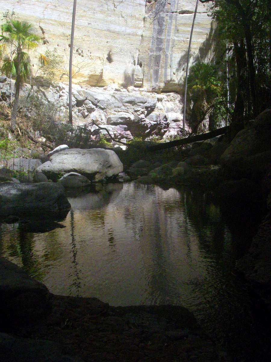
This pool is a beautiful spot in the otherwise harsh gorge surrounds.
Photo: Don Hitchcock, August 2009
The pool would disappear under tumbling waters at flood times, during the wet season.
Photo: Don Hitchcock, August 2009
The lengths figs will go to in order to reach water are nothing short of amazing.
This consists of two photos stitched together.
Photo: Don Hitchcock, August 2009
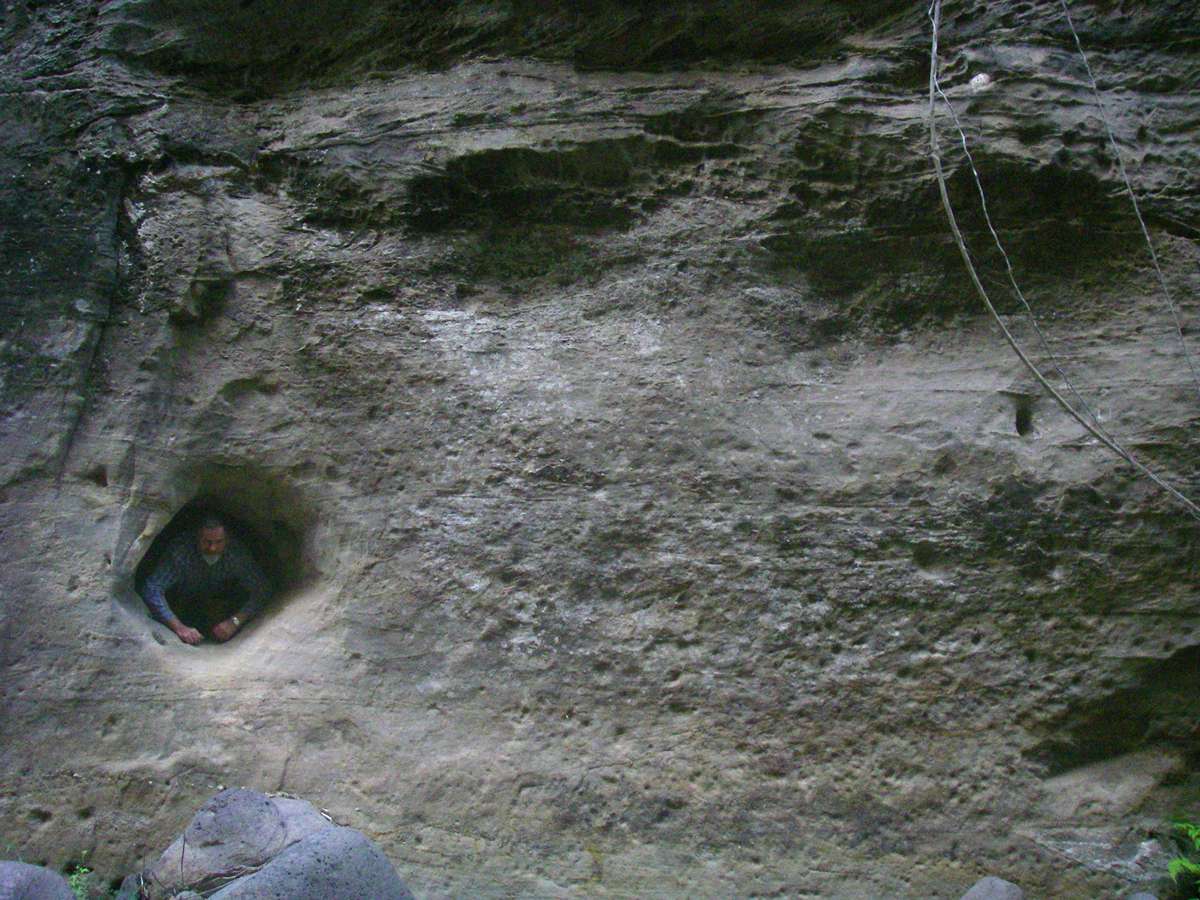
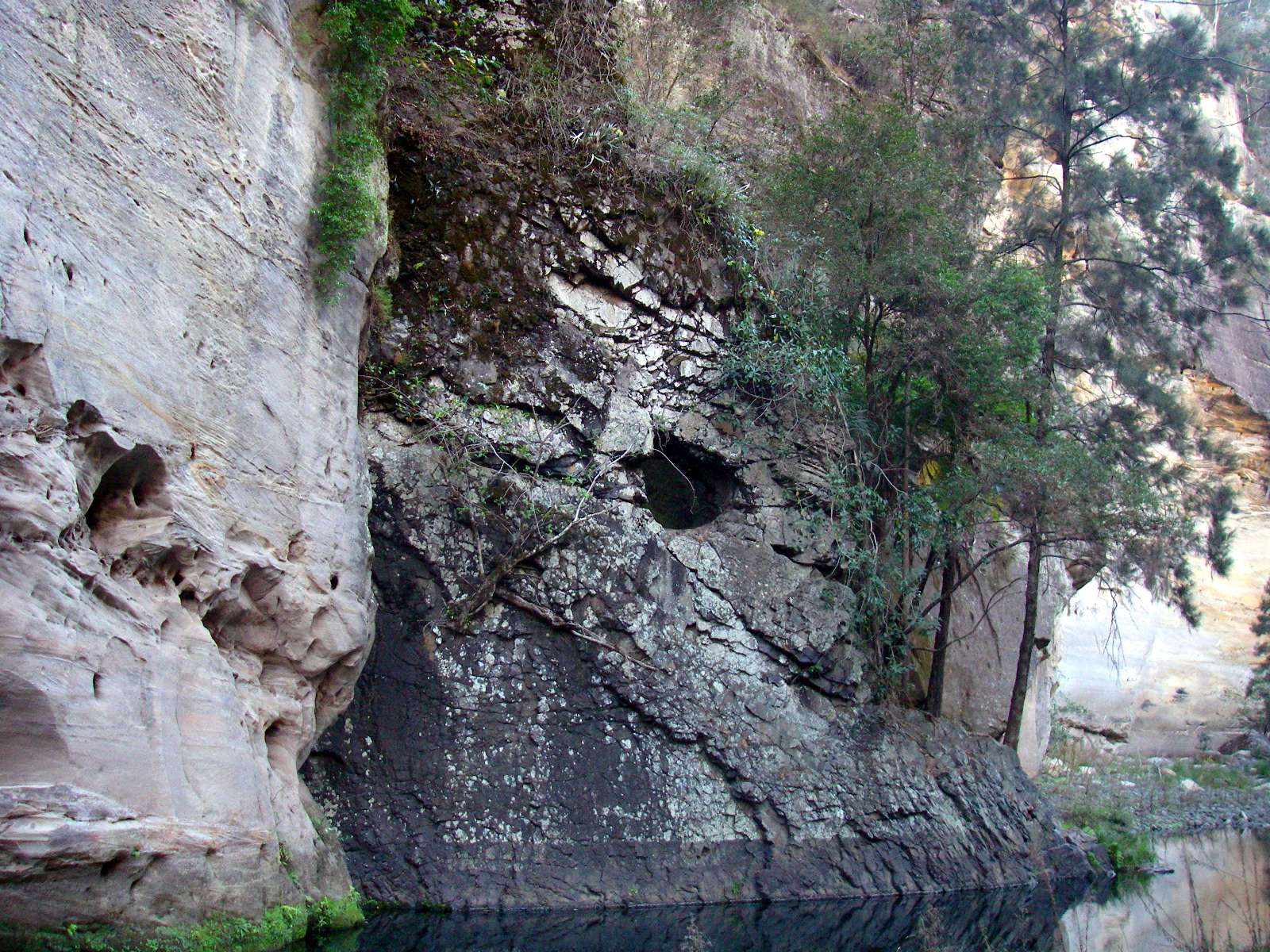
I have no idea what mechanism would lead to this hole in the sandstone. The most likely probability is that it was made when the ground level of the gorge floor was at or above the hole, but by what agency I cannot speculate.
Photo: Don Hitchcock, August 2009
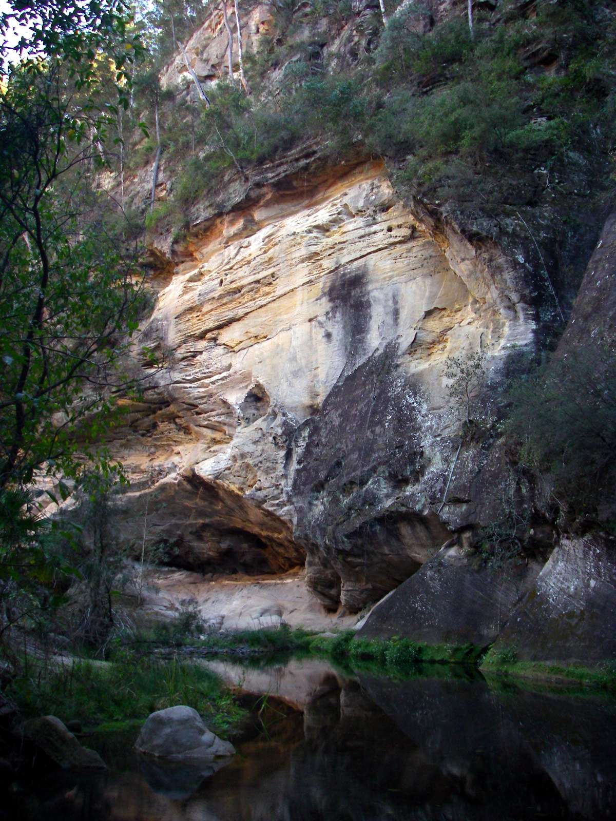
Tree ferns and a sunlit cliff. This is as far as we went up this gorge.
Photo: Don Hitchcock, August 2009
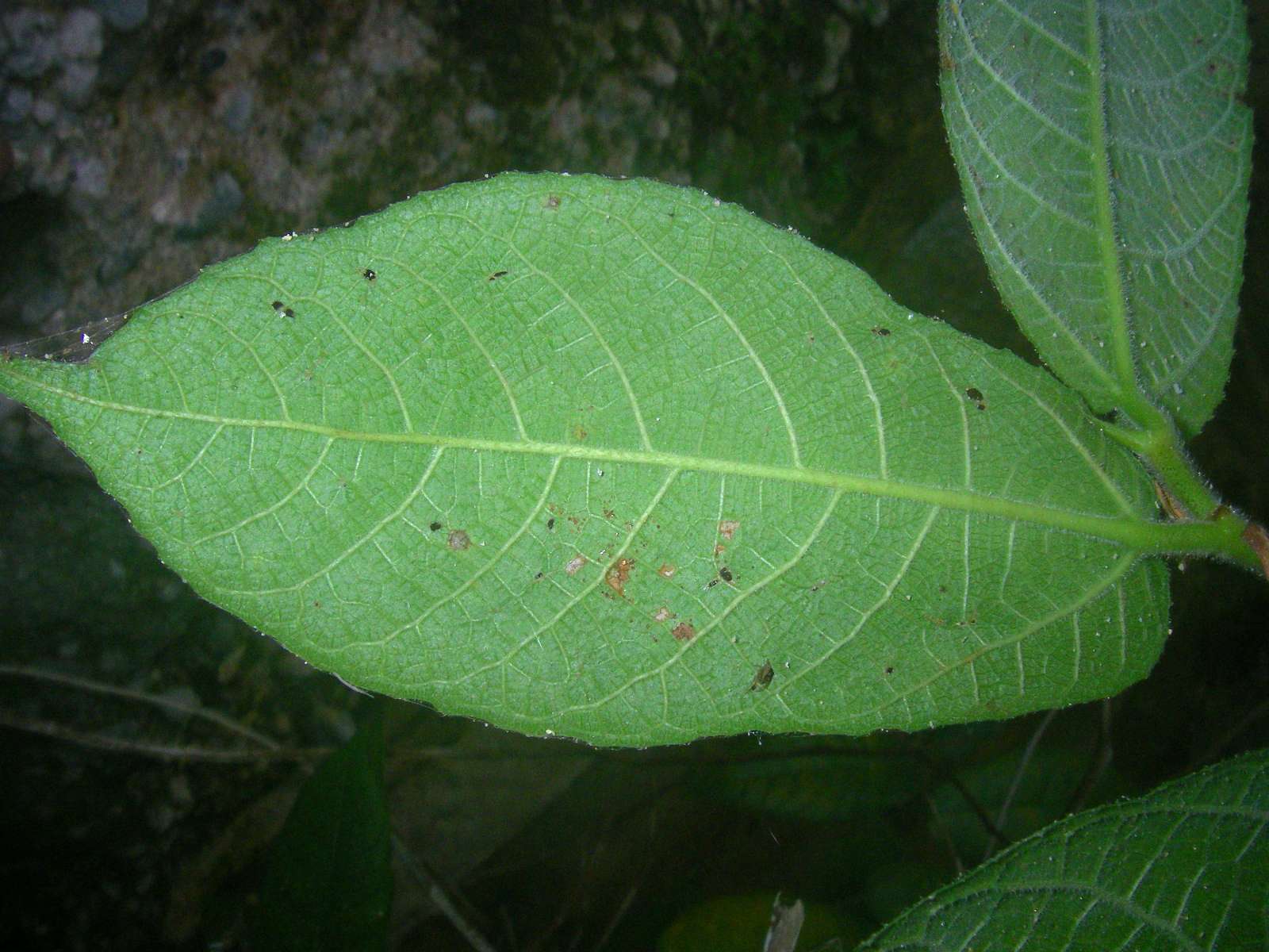
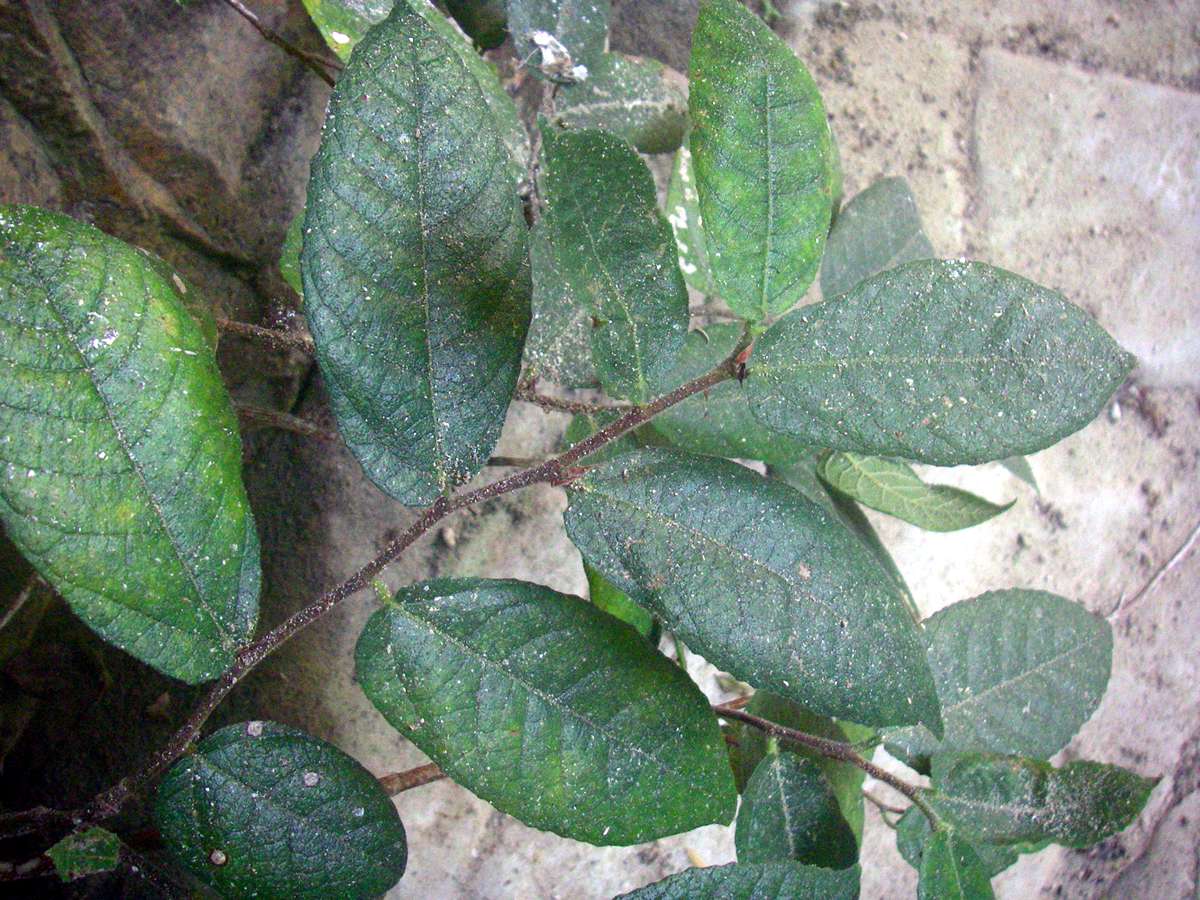
On the way out we came across this "sandpaper fig". Although the under surface of the leaf is popularly believed to have been used to polish wood by Aborigines, they are too soft and brittle to perform this function.
Photo: Don Hitchcock, August 2009
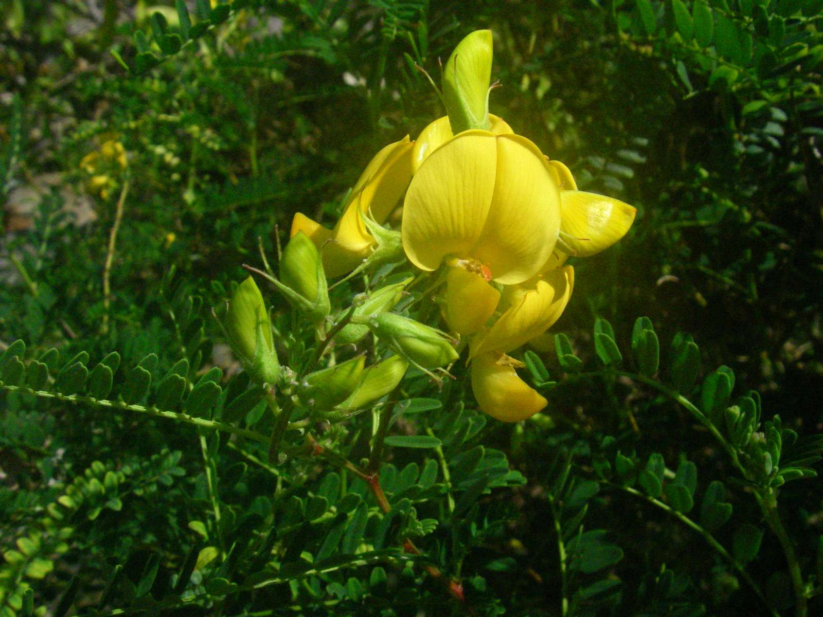
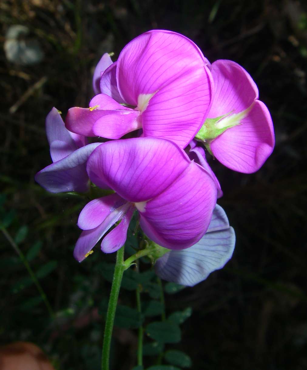
Yellow Pea flower near the confluence of Kamoodangie Creek and Carnarvon Creek.
Photo: Don Hitchcock, August 2009
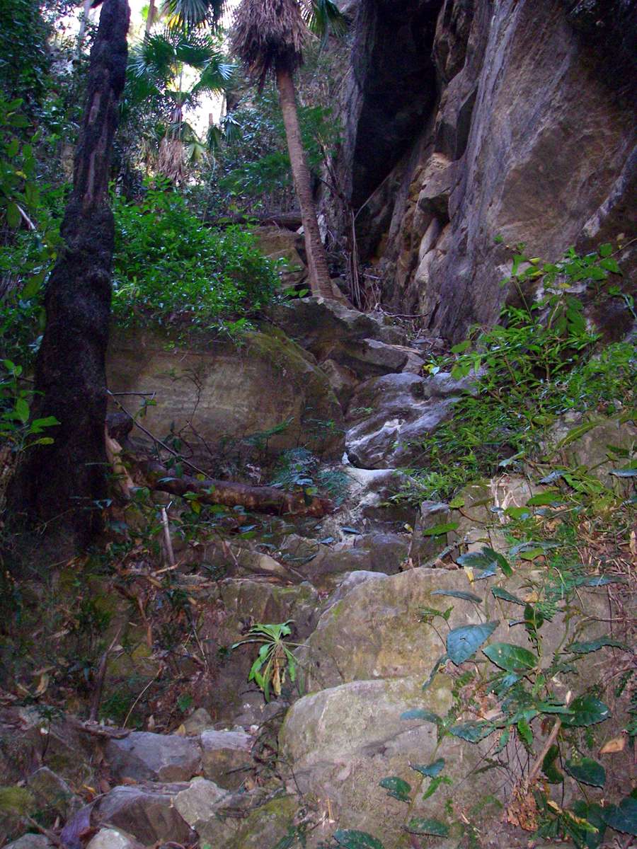
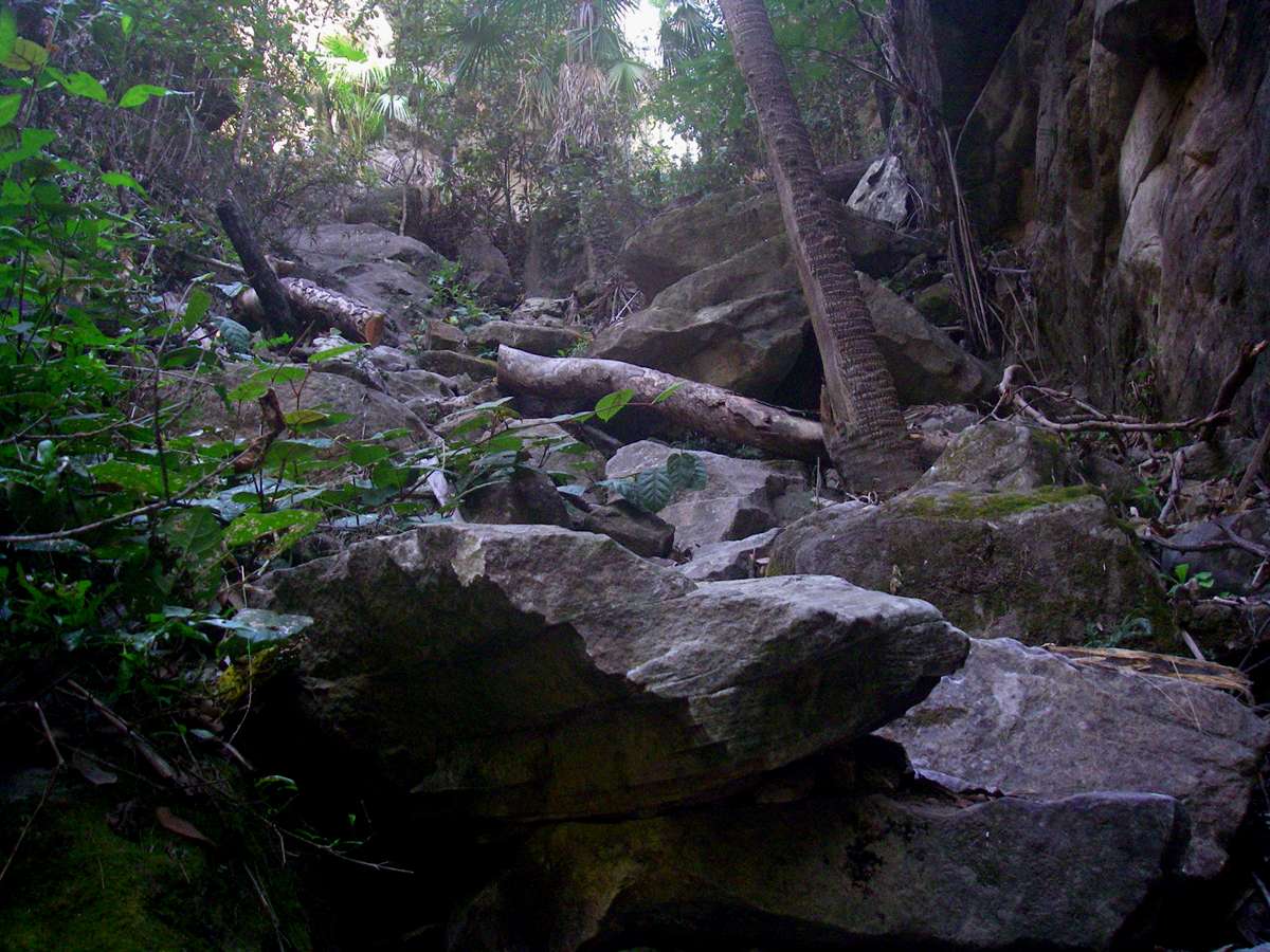
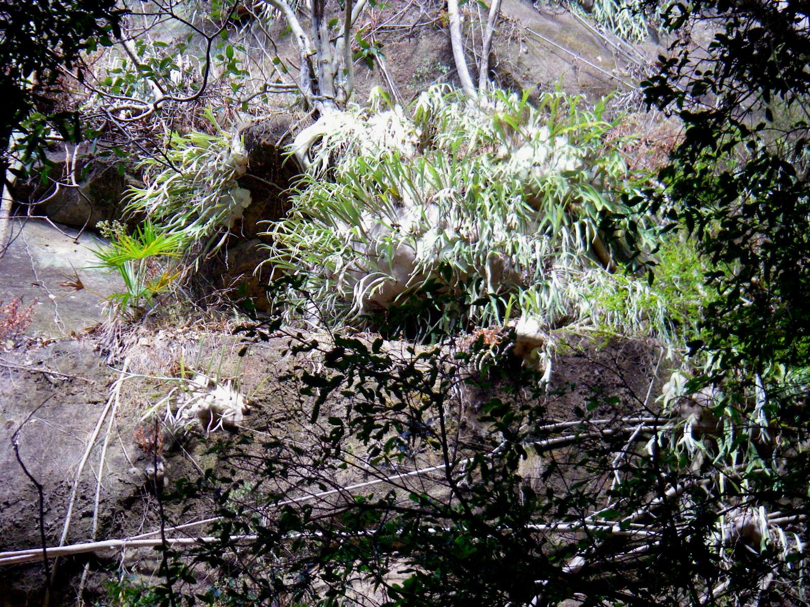
Ward's Canyon

Aljon Falls is a small but pretty falls on the way into Ward's Canyon.
Photo: Don Hitchcock, August 2009
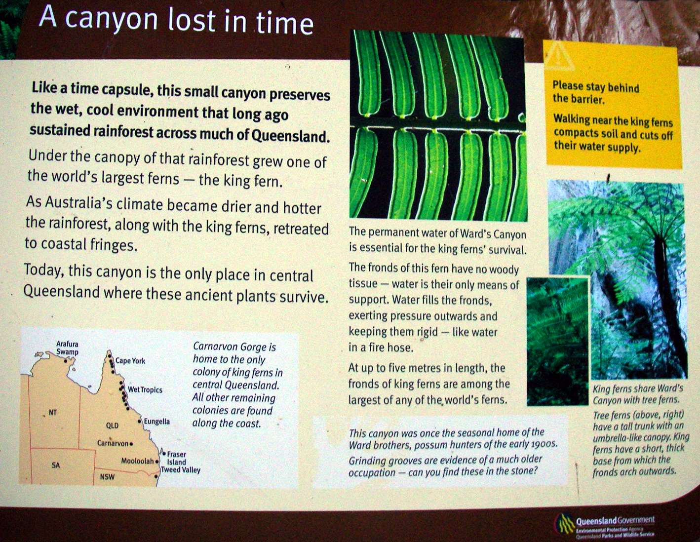
A canyon lost in time
Like a time capsule, this small canyon preserves the wet, cool environment that long ago sustained rainforest across much of Queensland.
Under the canopy of that rainforest grew one of the world's largest ferns - the king fern.
As Australia's climate became drier and hotter, the rainforest, along with the king ferns, retreated to the coastal fringes.
Today, this canyon is the only place in central Queensland where these ancient plants survive.
The permanent water of Ward's Canyon is essential for the king fern's survival.
The fronds of this fern have no woody tissue - water is their only means of support. Water fills the fronds, exerting pressure outwards and keeping them rigid - like water in a fire hose.
At up to five metres in length, the fronds of king ferns are among the largest of any of the world's ferns.
This canyon was once the seasonal home of the Ward brothers, possum hunters of the early 1900s.
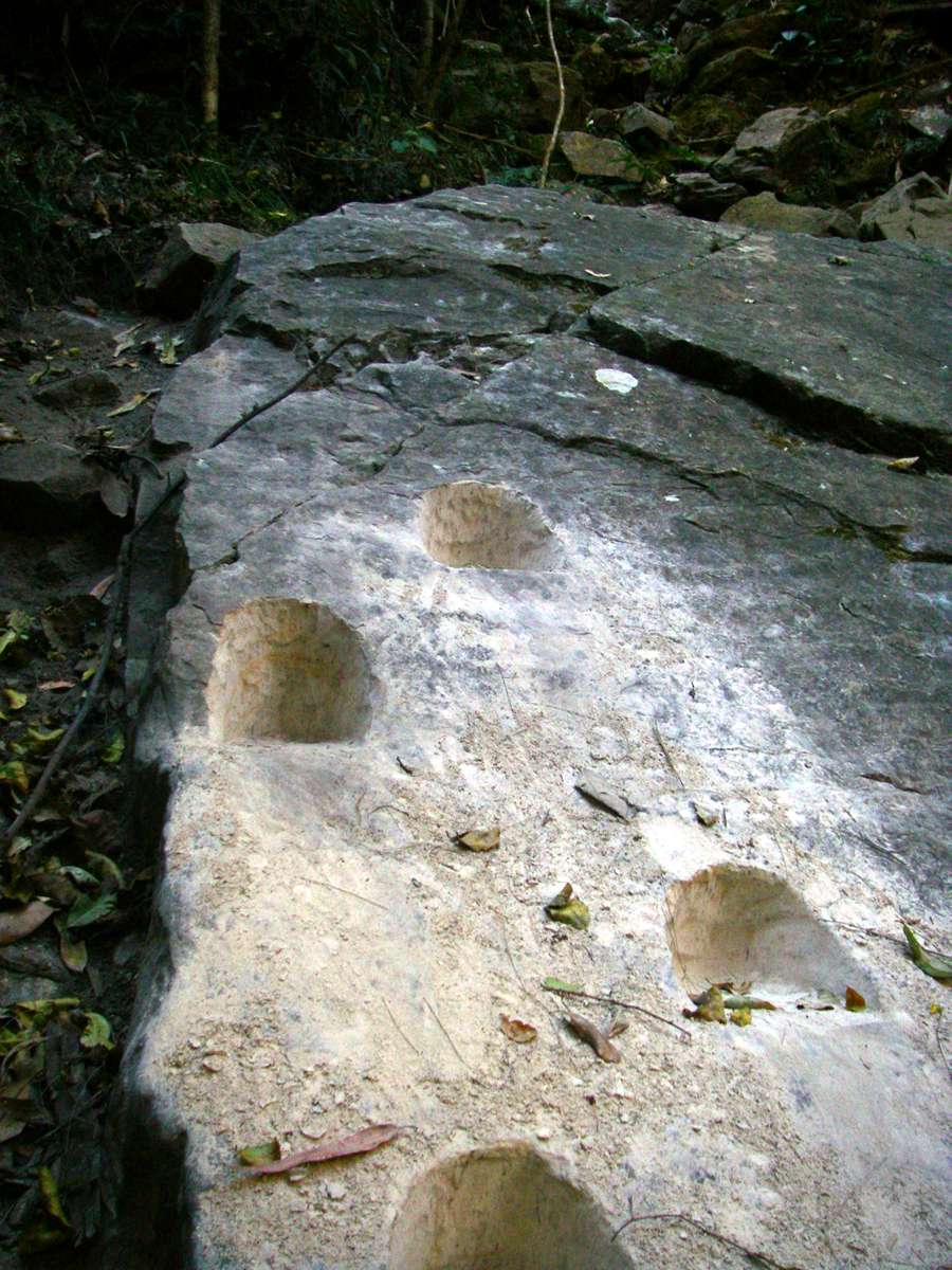
There are grinding grooves here as evidence of a much older occupation by aborigines.
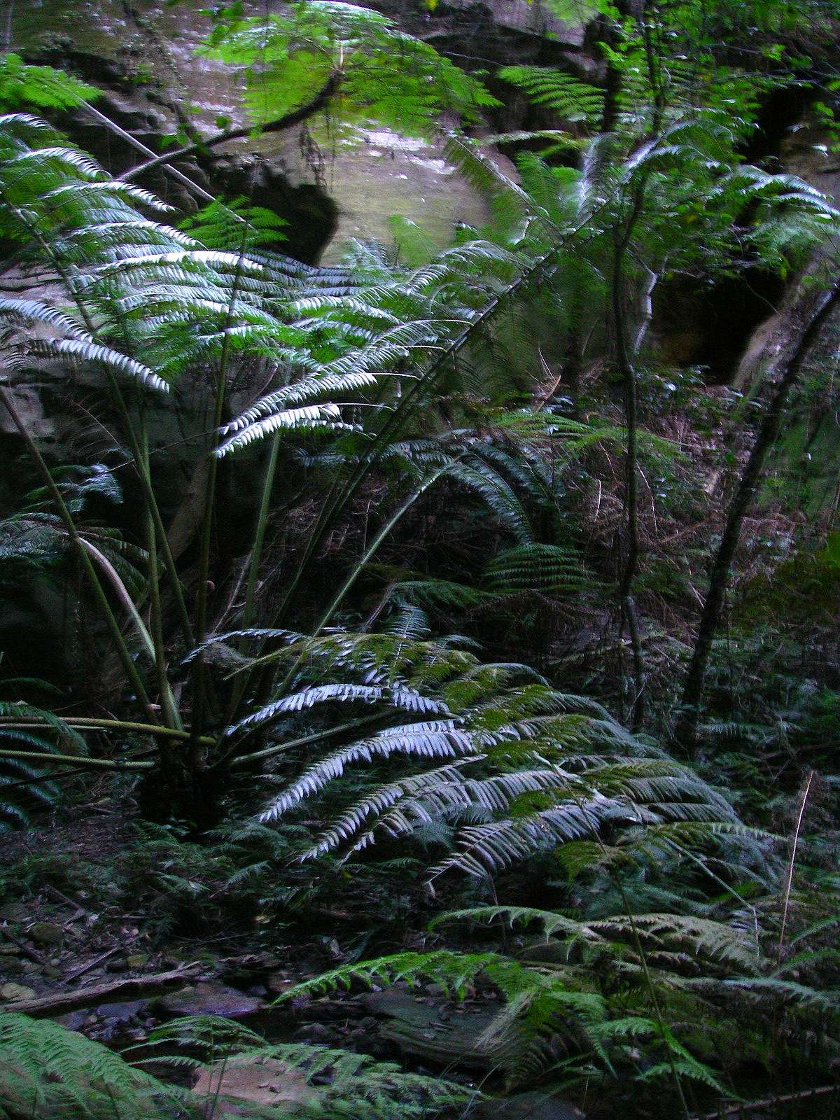
King ferns share Ward's Canyon with tree ferns.
Tree ferns have a tall trunk with an umbrella-like canopy. King ferns have a short, thick base from which the fronds arch outwards.
Photo: Don Hitchcock, August 2009
Text: Adapted from the sign in Ward's Canyon
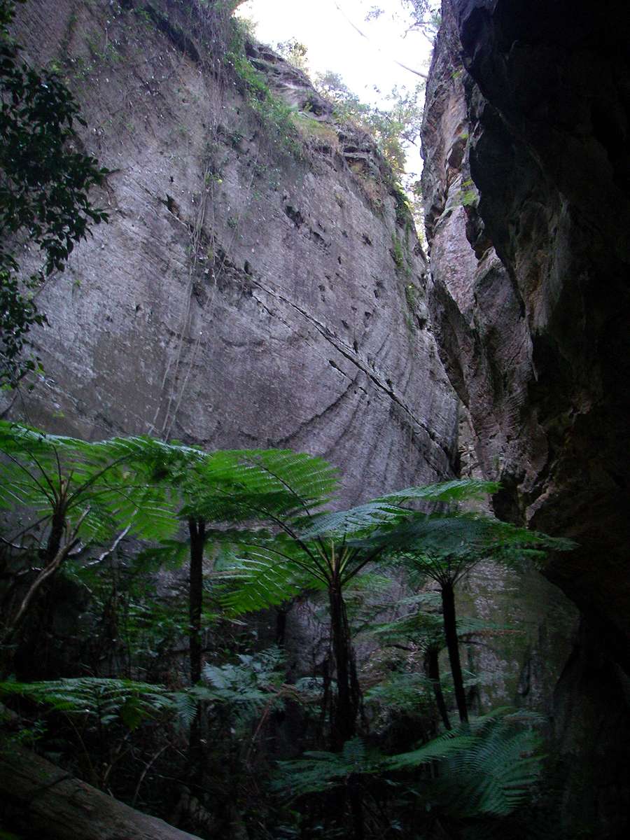
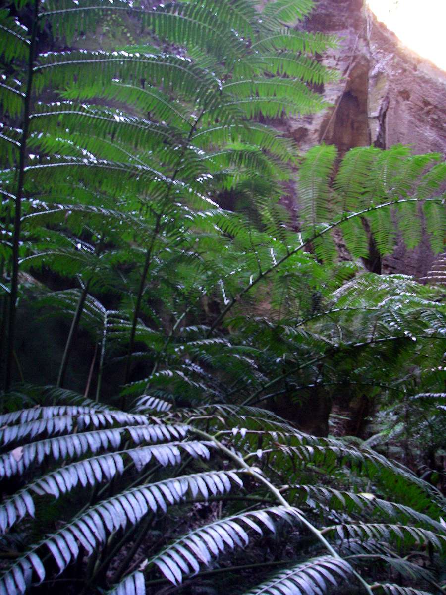
Tree Ferns at the head of Ward's Canyon.
Photo: Don Hitchcock, August 2009
King Ferns showing the very long fronds and short base from which the fronds spring.
Photo: Don Hitchcock, August 2009
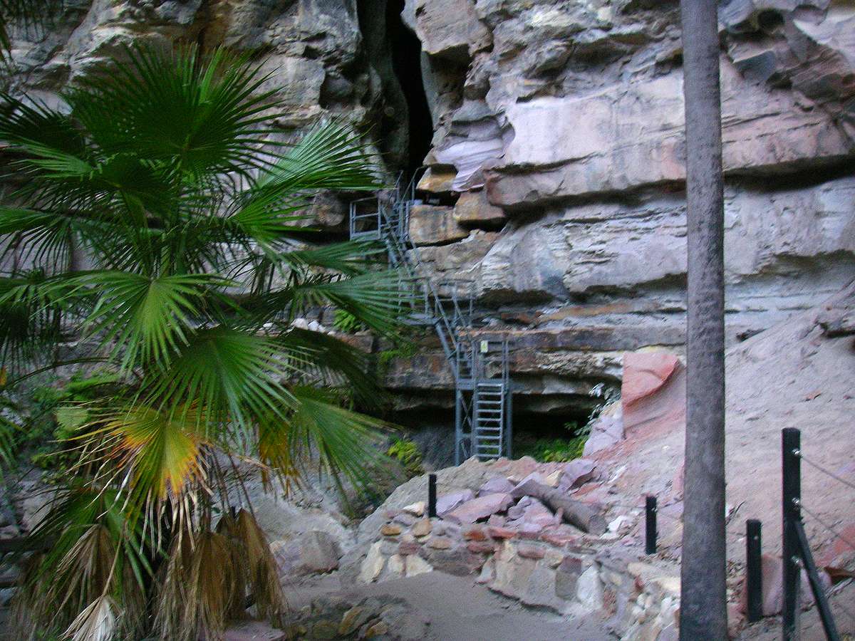
The Art Gallery and Cathedral Cave
The Art Gallery and Cathedral Cave
Boowinda Gorge
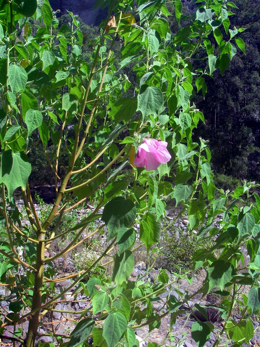
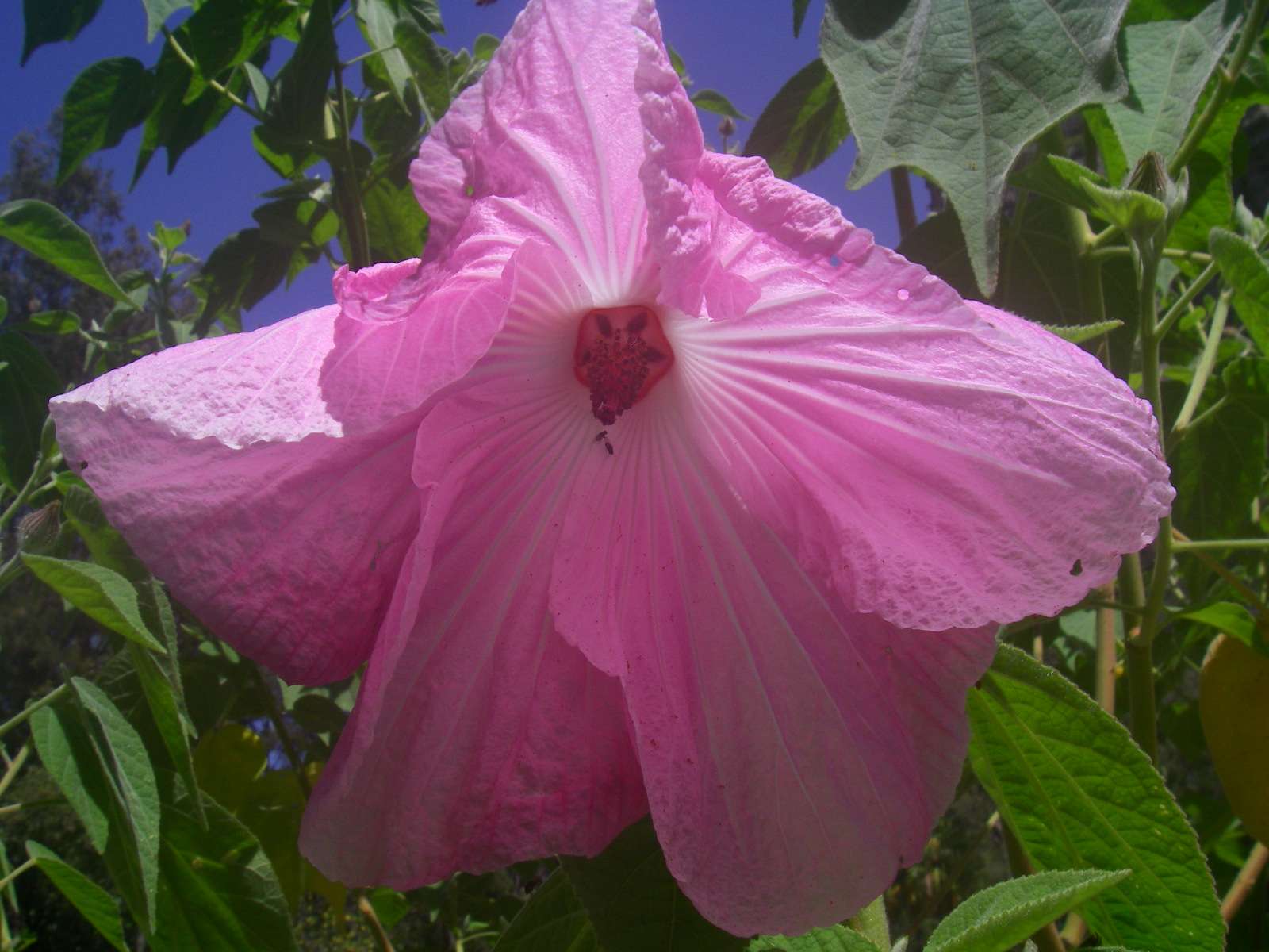
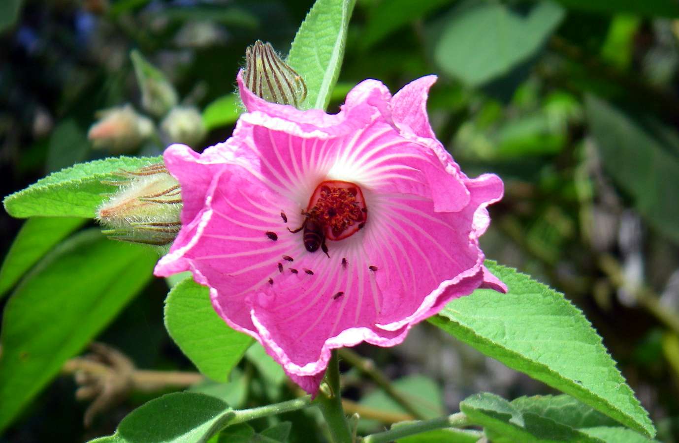
Native Hibiscus on the banks of Carnarvon Creek on the way to Boowinda Gorge.
Photo: Don Hitchcock, August 2009
Kooraminya Creek Headland, not far downstream of Boowinda Gorge.
Photo: Don Hitchcock, August 2009
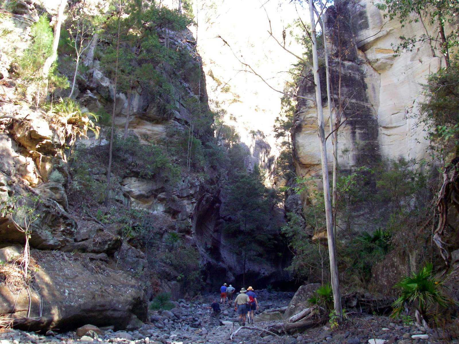
Entry to Boowinda Gorge.
Photo: Don Hitchcock, August 2009

At first it narrows considerably.
Photo: Don Hitchcock, August 2009
Then the gorge opens up enough to let sunlight in.
Photo: Don Hitchcock, August 2009
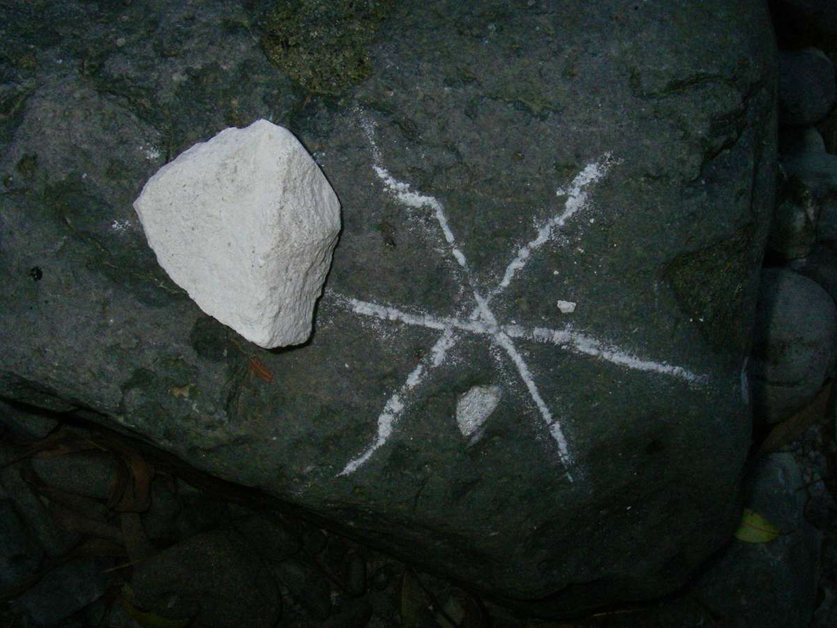
White ochre was easy to obtain for aboriginal drawings. This was more like a sandy white ochre than pure ochre, but worked well. It would wash away in the first rain unless it was protected from the weather by being under an overhang.
Photo: Don Hitchcock, August 2009
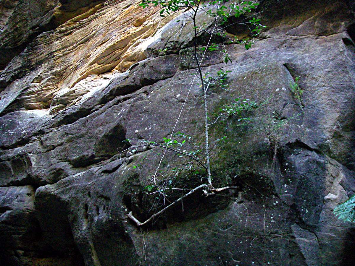
This fig appeared to have originated from the thin root down the face of the cliff from a tree high above. The root found sustenance in a crack in the sandstone, then apparently sent up a small shoot with leaves from the root.
Photo: Don Hitchcock, August 2009
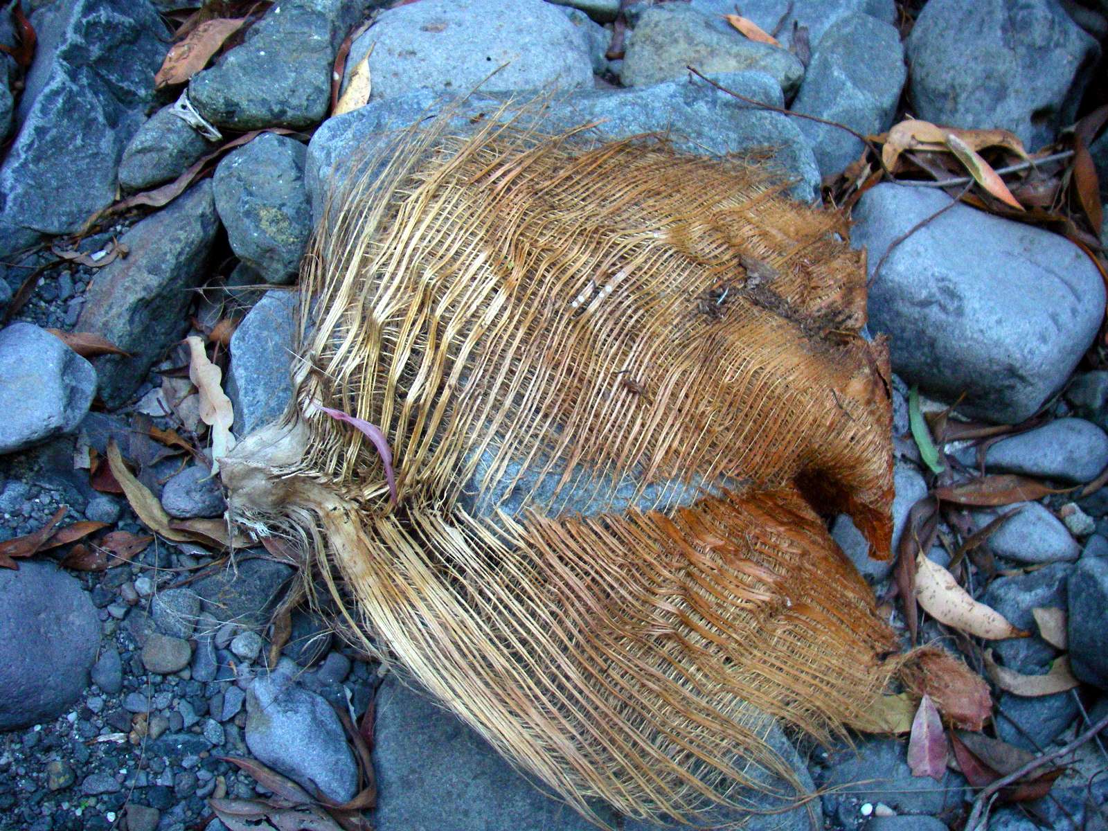
This palm frond base is very similar indeed to the rectangular nets on the Aboriginal drawings in the gorge. These palm frond bases may have been a useful raw material for the Aborigines of the area.
Photo: Don Hitchcock, August 2009

Very large (~7 centimetres across) phenocryst of olivine in basalt. Phenocrysts (conspicuous crystals larger than the grains of most of the matrix of an igneous rock) of olivine are common in many basalt flows. The olivine crystallises out first at a higher temperature, while the rest of the still liquid basalt magma is still rising in the volcano.
Wikipedia:
The mineral olivine (when gem-quality also called peridot) is a magnesium iron silicate with the formula (Mg,Fe)2SiO4. It is one of the most common minerals on Earth, and has also been identified in meteorites and on the Moon, Mars, and comet Wild 2.
Photo: Don Hitchcock, August 2009
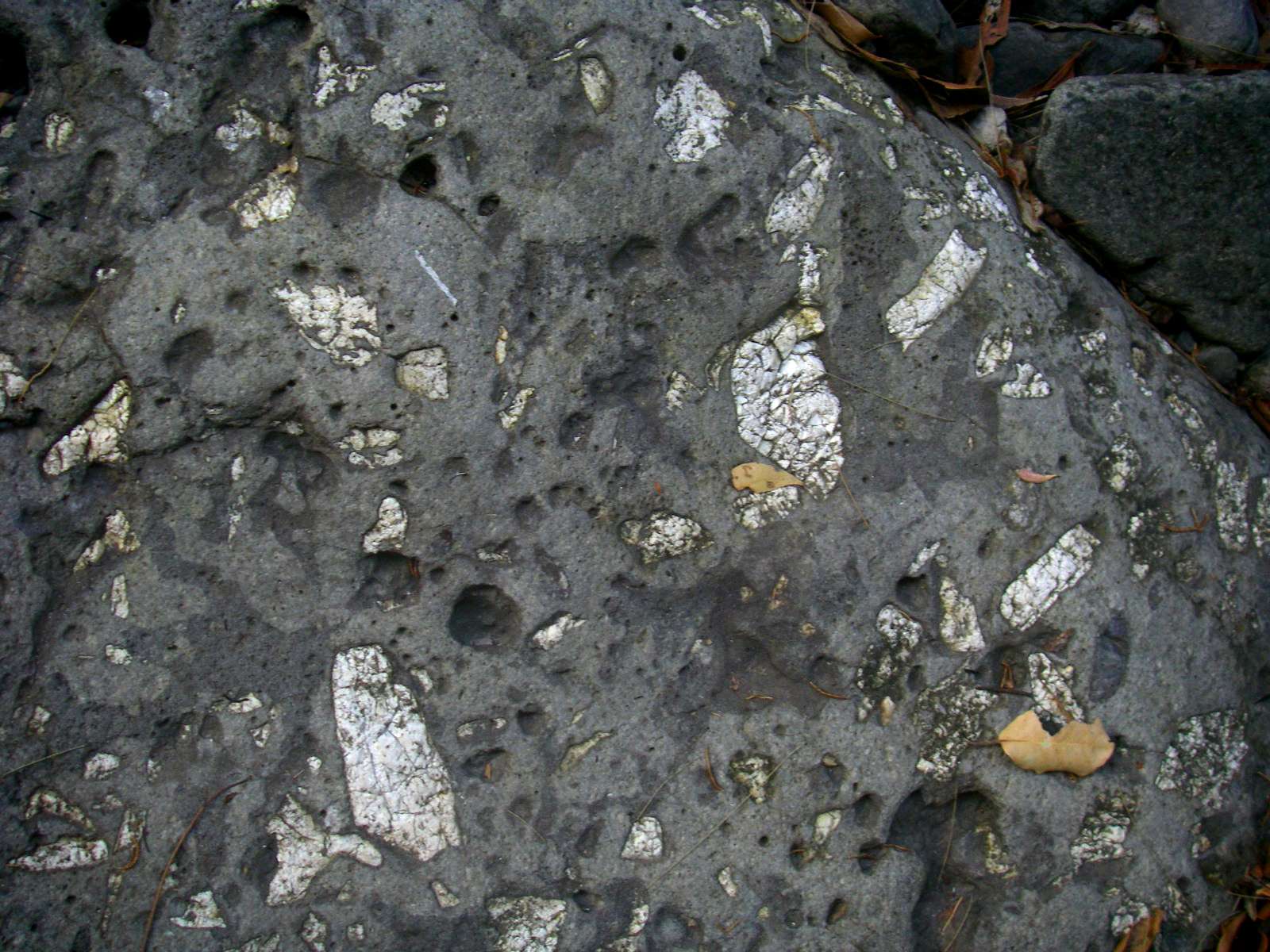
Phenocrysts of a white crystal, probably plagioclase, in basalt.
Plagioclase is a common mineral from the feldspar group. It has a formula varying smoothly from
NaAlSi3O8 to CaAl2Si2O8, where sodium and calcium atoms can substitute for each other in the mineral's crystal lattice structure.
Photo: Don Hitchcock, August 2009

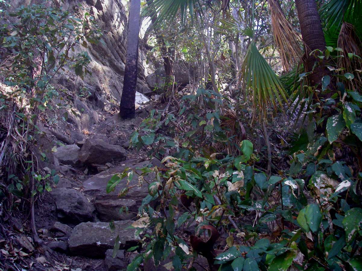
Exit from Boowinda Gorge on the 'Carnarvon Great Walk' up to Battleship Spur and thence in a great circle back to the Park entrance. The track had been completed only a few weeks before. We had come to Carnarvon Gorge to do the Great Walk, but bushfires prevented us from completing the walk.
Photo: Don Hitchcock, August 2009
As part of the construction of the track, portable jack hammers were used to carve out footholds to make it easier to get up the initially steep slope of the side gorge.
Photo: Don Hitchcock, August 2009
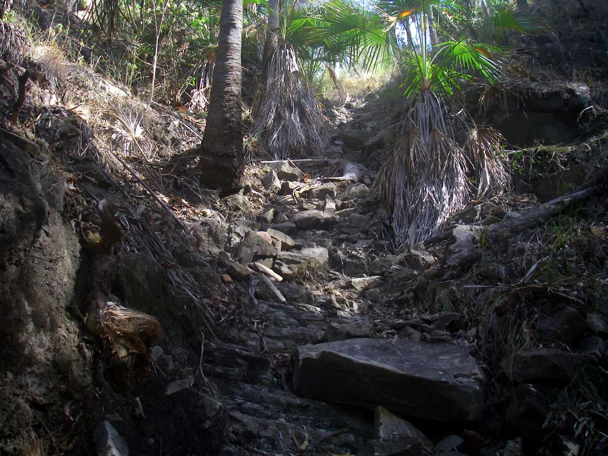
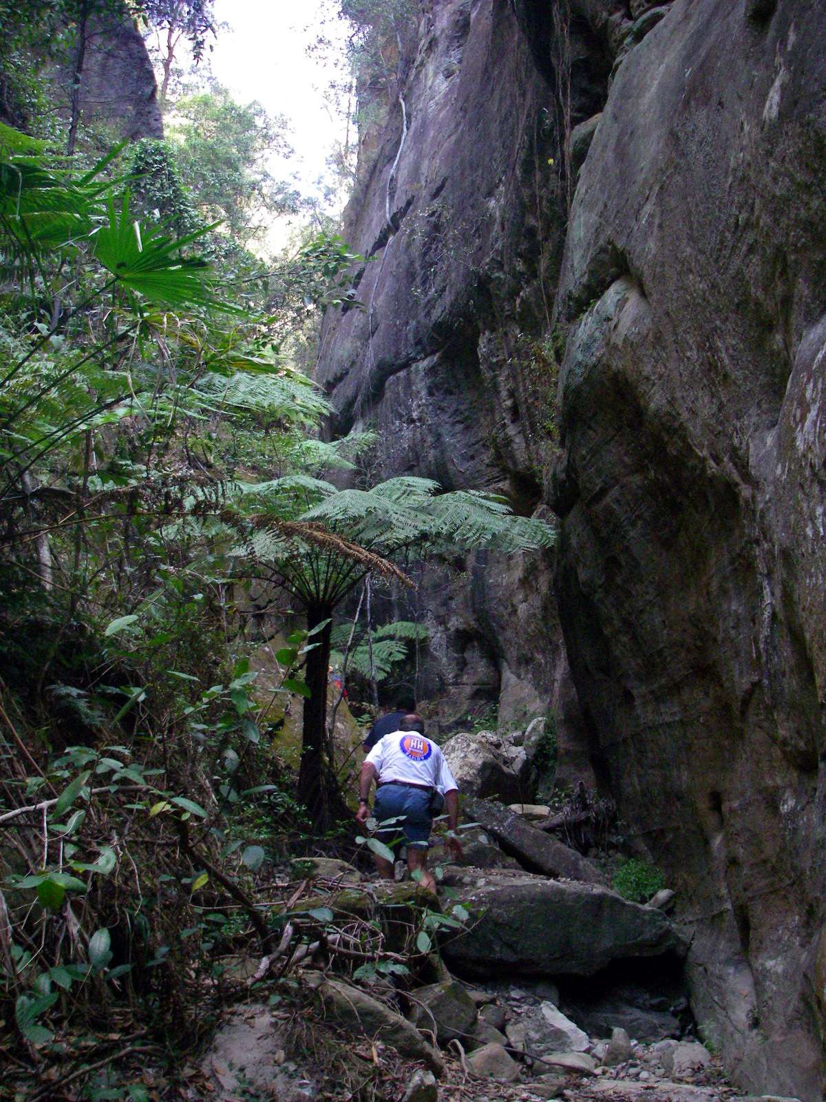
The side gorge became less steep after the initial entry from Boowinda Gorge.
Photo: Don Hitchcock, August 2009
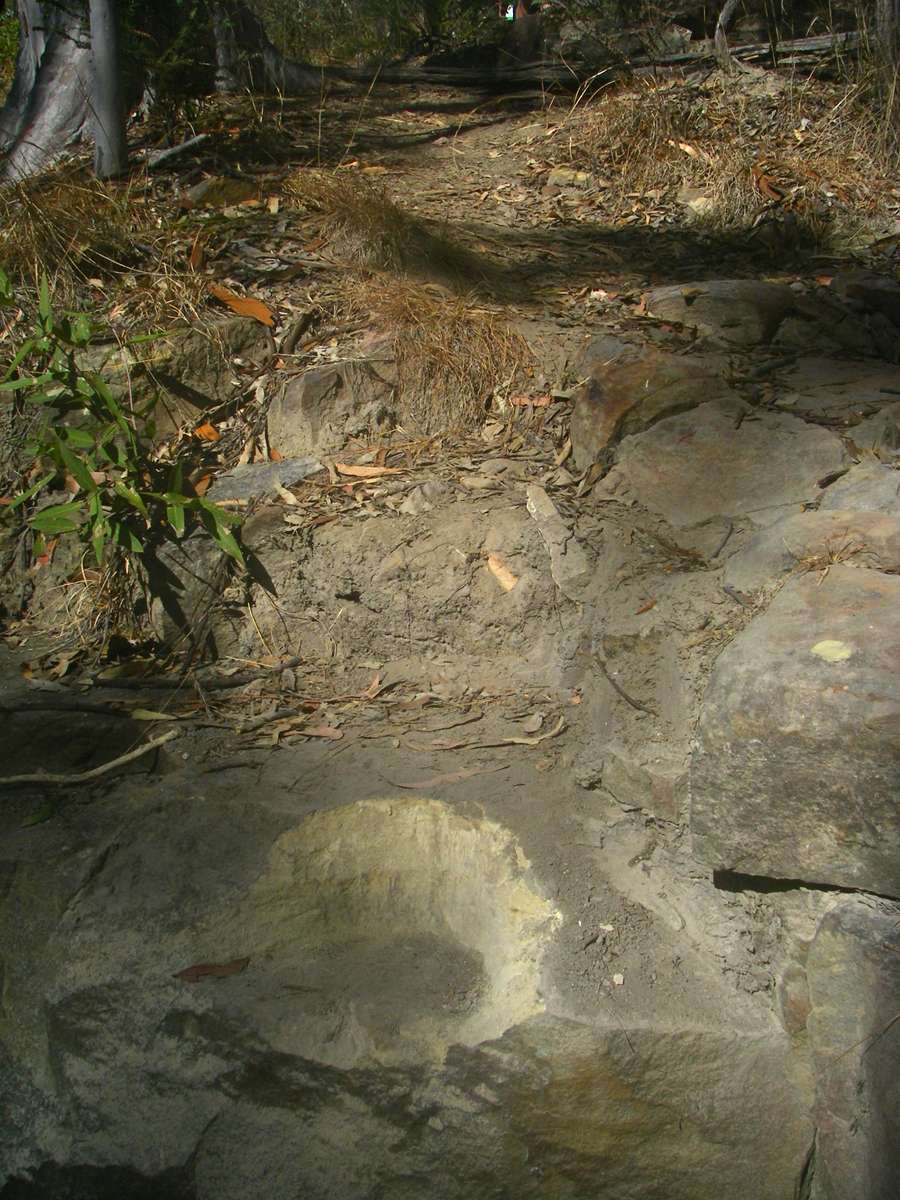
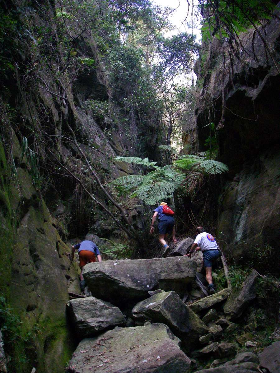
There was no track at this point, though none was needed.
Photo: Don Hitchcock, August 2009
As the plateau was approached, the gradient became less steep.
Photo: Don Hitchcock, August 2009
The portable power tools made a big difference to the task of taming the path.
Photo: Don Hitchcock, August 2009
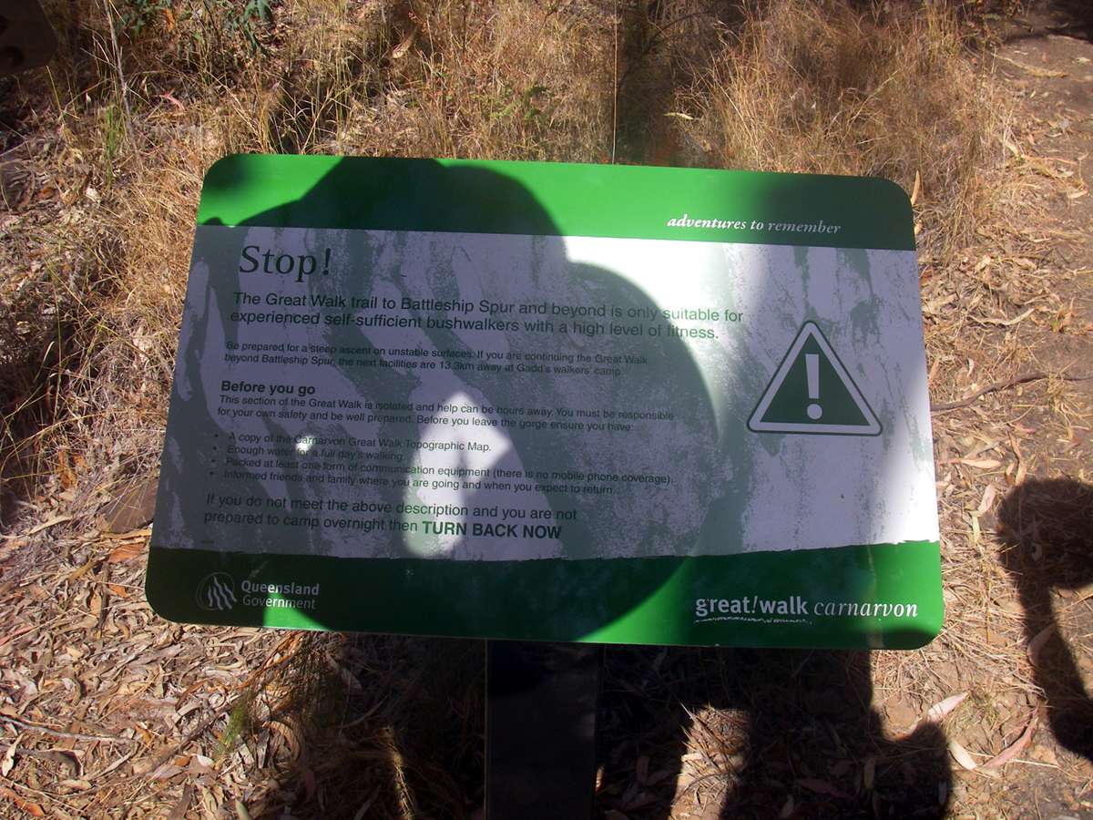
The track leading in a great circle, 86km in length, around the plateau, is not one to be tackled by inexperienced walkers, and bookings must be made. This limits the pressure on camping and water facilities.
Photo: Don Hitchcock, August 2009

The first part of the walk up Battleship Spur is through eucalypt and palm tree forest.
Photo: Don Hitchcock, August 2009
Since the track was closed because of bushfires further along, we retraced our steps back down the side gorge to Boowinda Gorge.
Photo: Don Hitchcock, August 2009
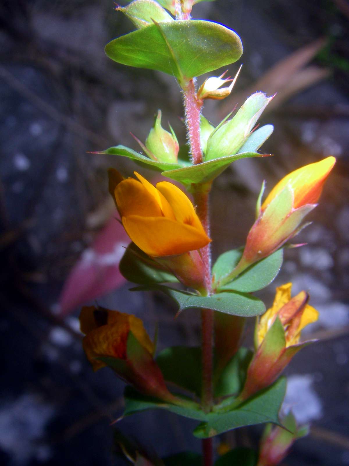
Pea flower.
Photo: Don Hitchcock, August 2009

Back in Boowinda Gorge, on the way back to Carnarvon Creek and then to Big Bend Camp, I was struck by the differential weathering exposing this cross bedding in the sandstone.
Photo: Don Hitchcock, August 2009
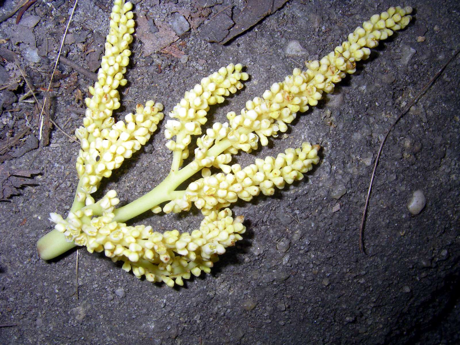
Flower of a palm tree, fallen from the cliff line high above, perhaps dislodged by a bird feeding on the nectar.
Photo: Don Hitchcock, August 2009
Canyons upstream from Big Bend walkers' camp
There is a 'splashing pool' at Big Bend walkers' camp, very welcome on a hot day.
Photo: Don Hitchcock, August 2009
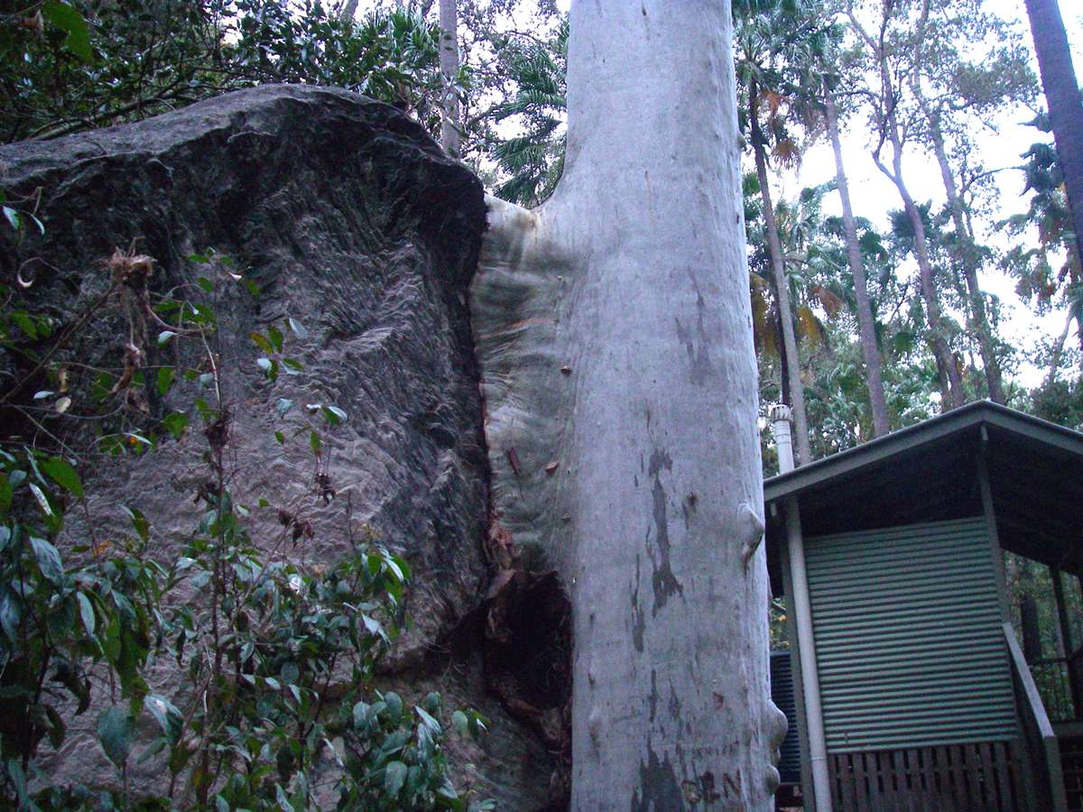
This Eucalyptus growing beside a large rock had created extra tissue to protect it from hitting the rock when the tree swayed in the wind. The building in the background is the toilet at Big Bend walkers' camp. The campsite will accommodate up to ten tents.
Photo: Don Hitchcock, August 2009
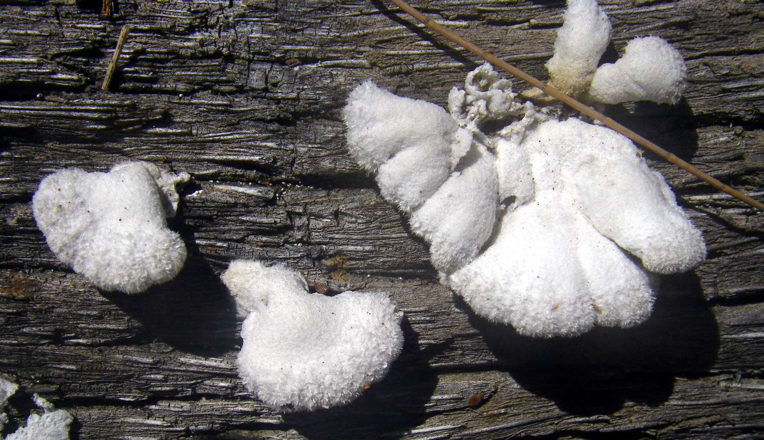
In the morning we headed further up Carnarvon Creek, upstream from the Big Bend campsite. This fungus was growing on a fallen log.
Photo: Don Hitchcock, August 2009
This was an interesting hole in a basalt dyke, passing from one side to the other of the dyke.
Photo: Don Hitchcock, August 2009

Basalt Breccia.
Photo: Don Hitchcock, August 2009
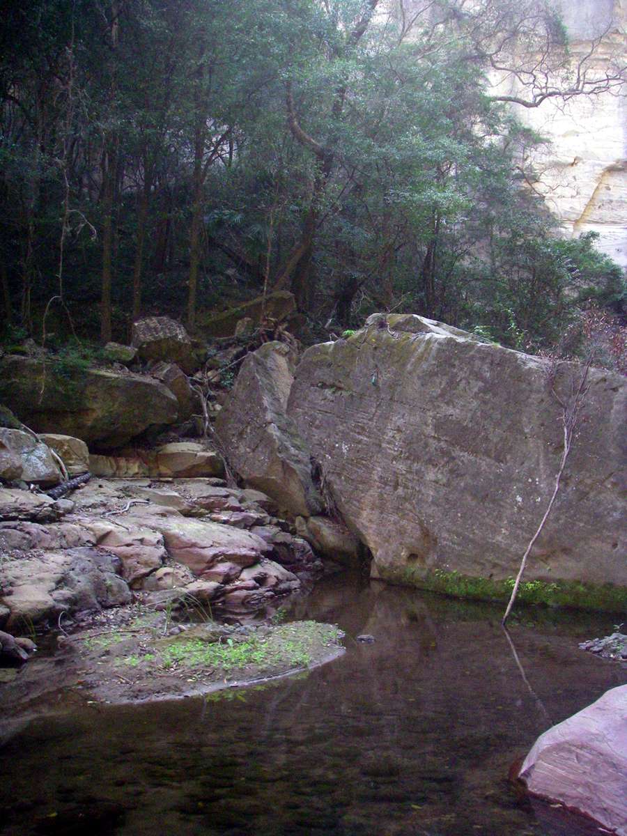
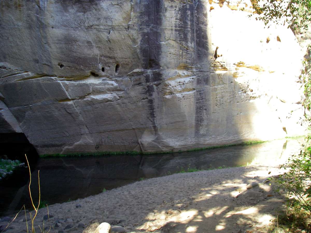
Cliff and pool. Carnarvon Creek was now a string of waterholes, rather than a creek. Past 'The Island' there were no more pools. You would need to carry water to go a long distance up Carnarvon Creek at this time of year.
Photo: Don Hitchcock, August 2009
Looking upstream to 'The Island', a huge monolith, part of the plateau cut off by Carnarvon Creek and two side creeks.
Photo: Don Hitchcock, August 2009
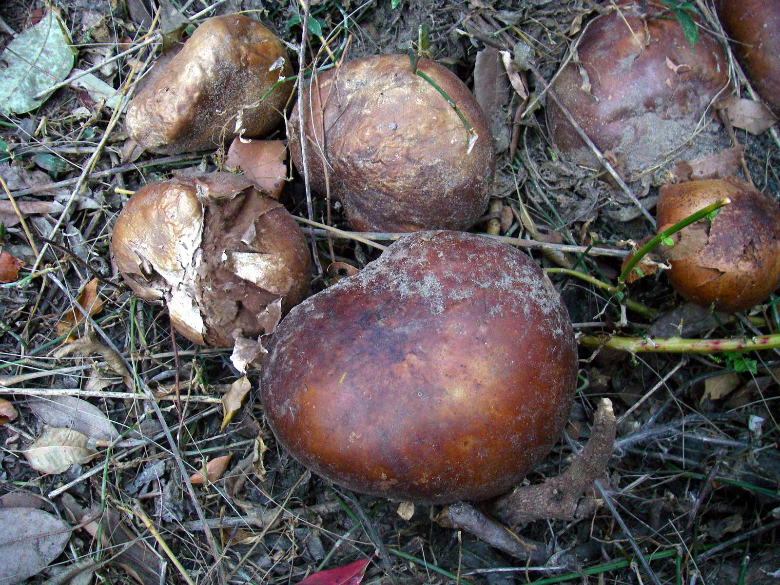
This is a puff ball beside the creek. There were many of them at this point.
Photo: Don Hitchcock, August 2009
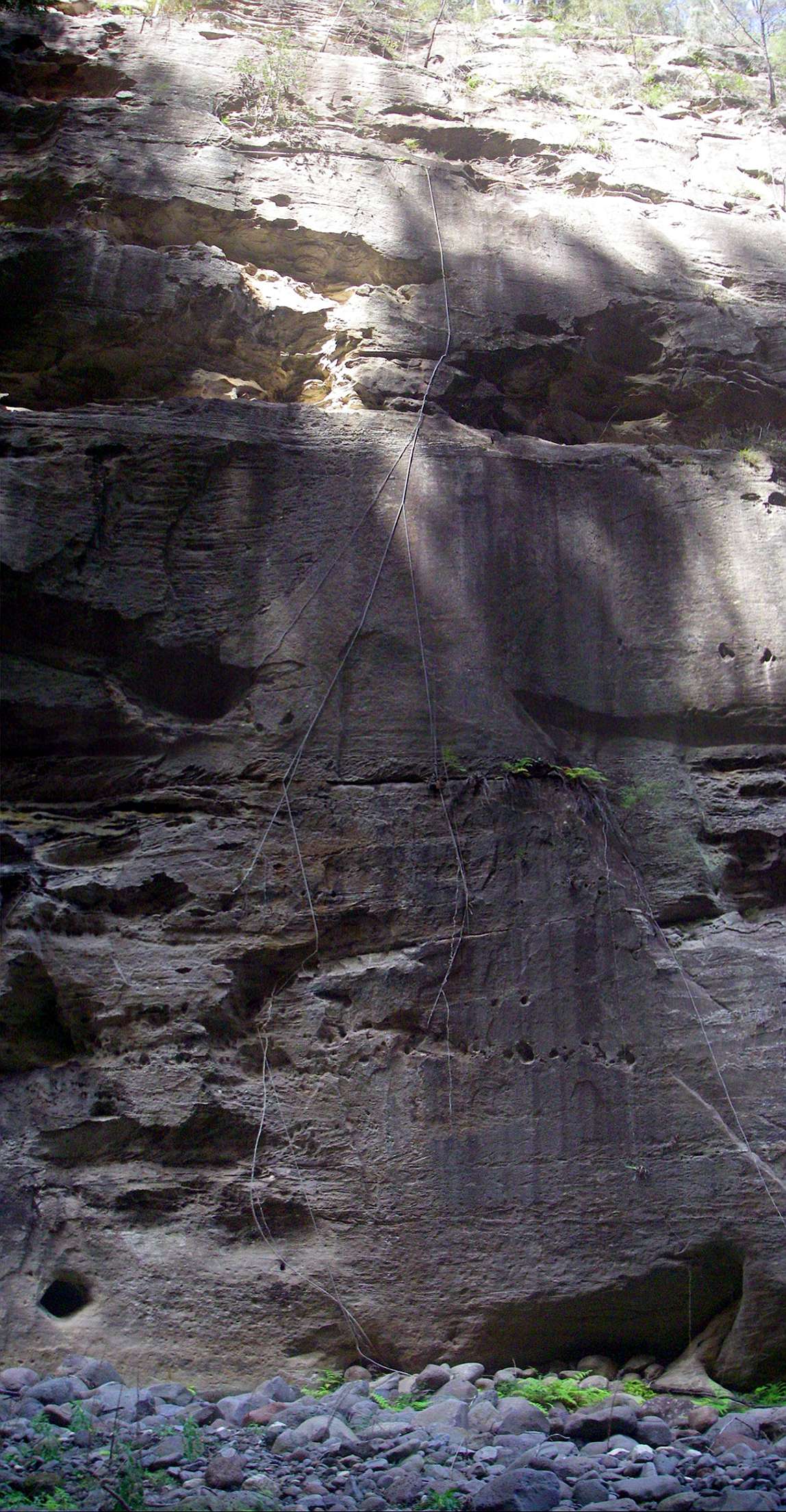
This is a termite track. Termites need access to water, or to damp soil. These termites had constructed a covered walkway (usually called a mud tunnel or tube) from the cliff top where they had access to trees for food, down the side of the cliff to where they found a constant supply of water seeping out of the sandstone wall.
Photo: Don Hitchcock, August 2009
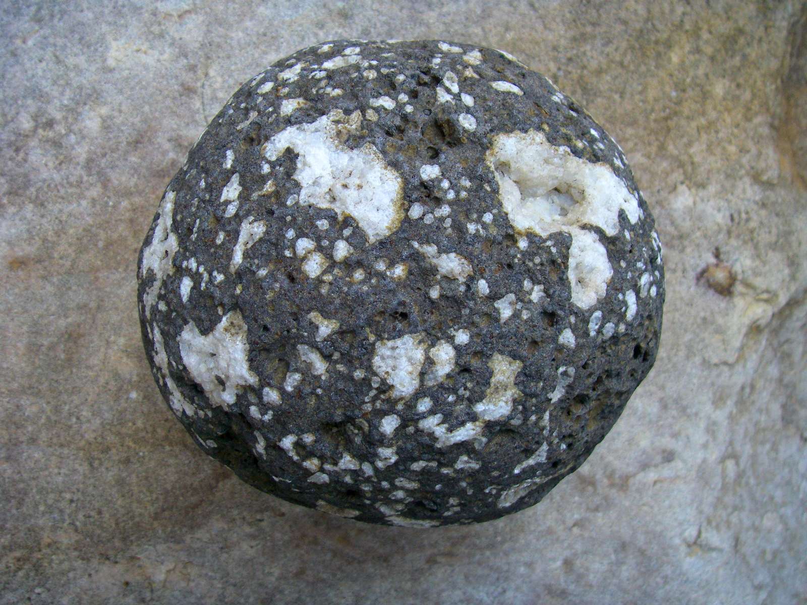
Zeolites in a basalt pebble. The vesicular basalt (basalt with holes formed by gases at the time of the eruption of the lava) has been later saturated with mineral laden ground water, which has left this white mineral called zeolite in the vesicles. The minerals are used in water purification and other specialised applications because of their ability to selectively trap particular sizes of molecules.
Photo: Don Hitchcock, August 2009
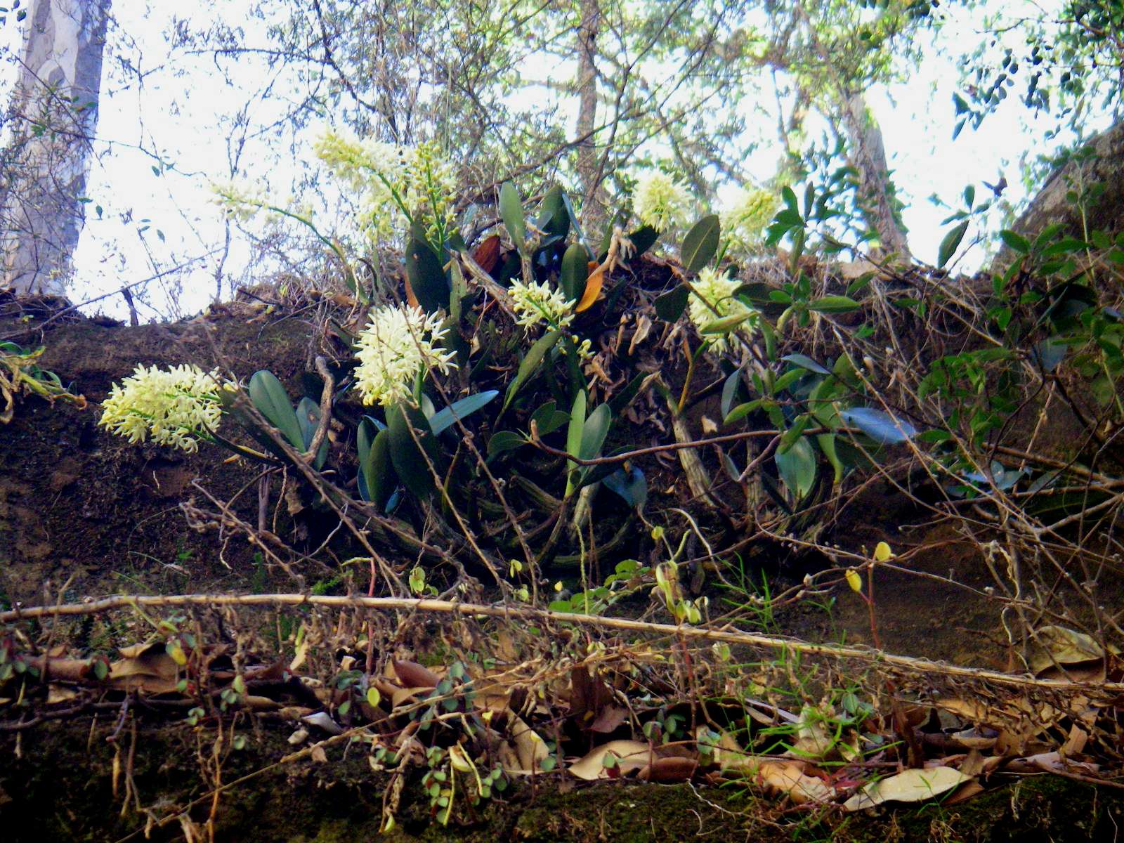
Orchid.
Photo: Don Hitchcock, August 2009

Looking back downstream to 'The Island'.
Photo: Don Hitchcock, August 2009
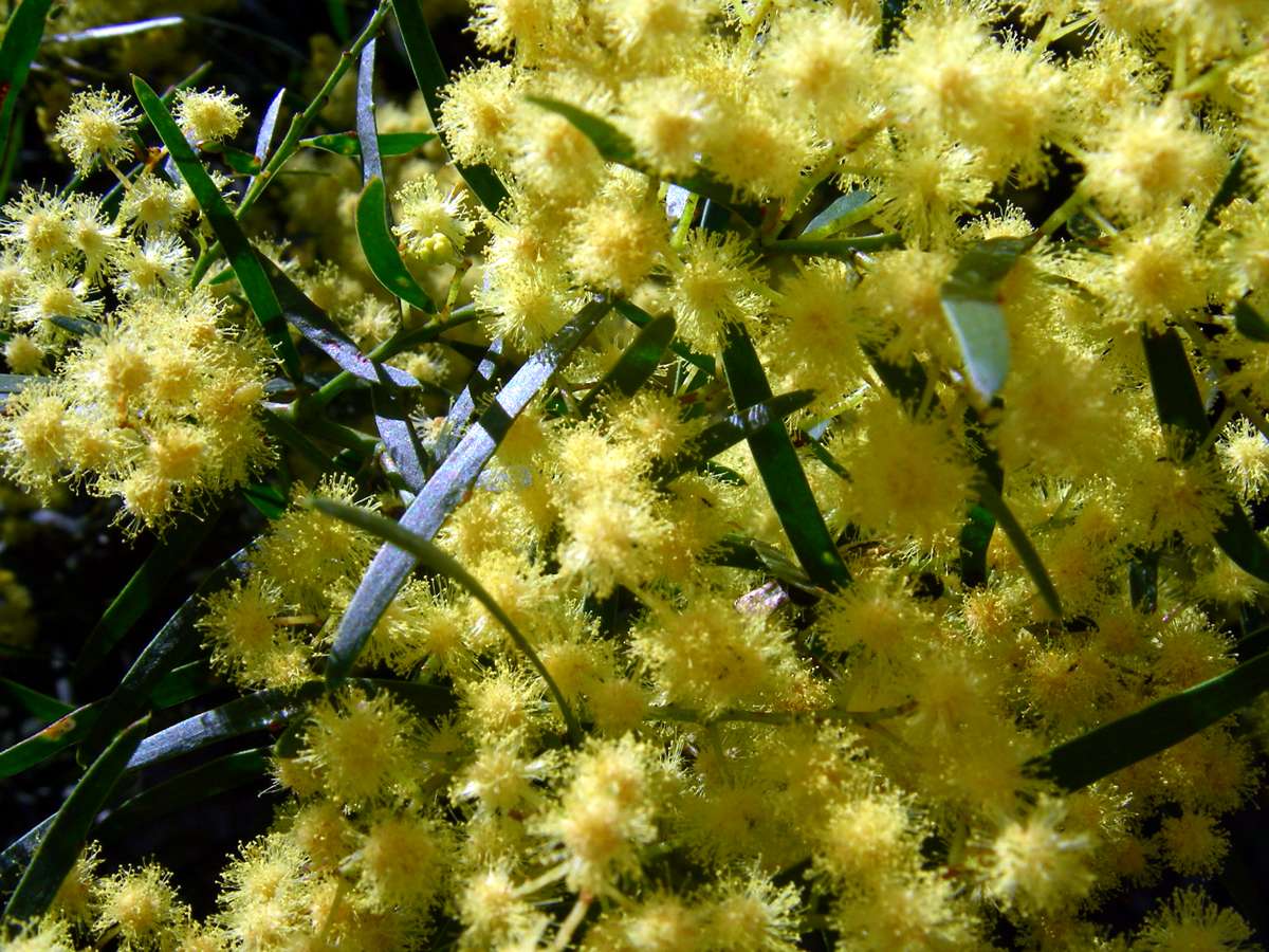
Wattle.
Photo: Don Hitchcock, August 2009
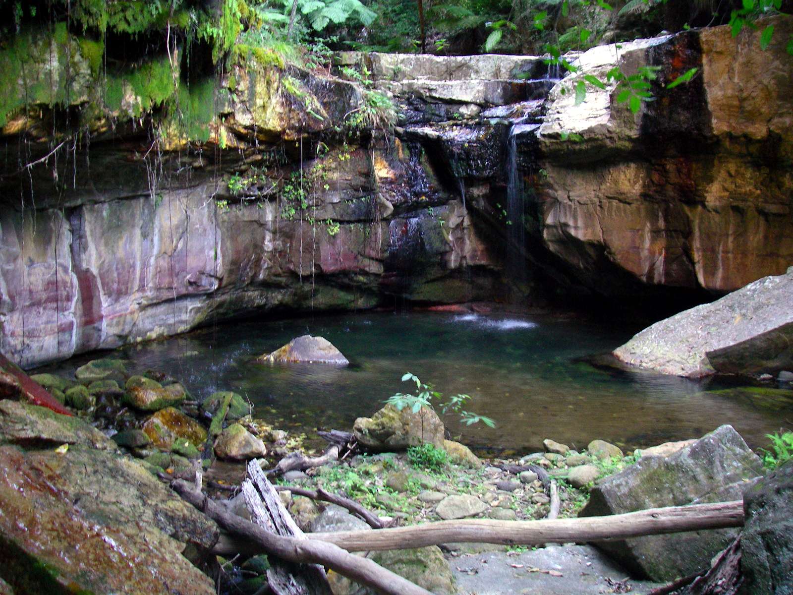
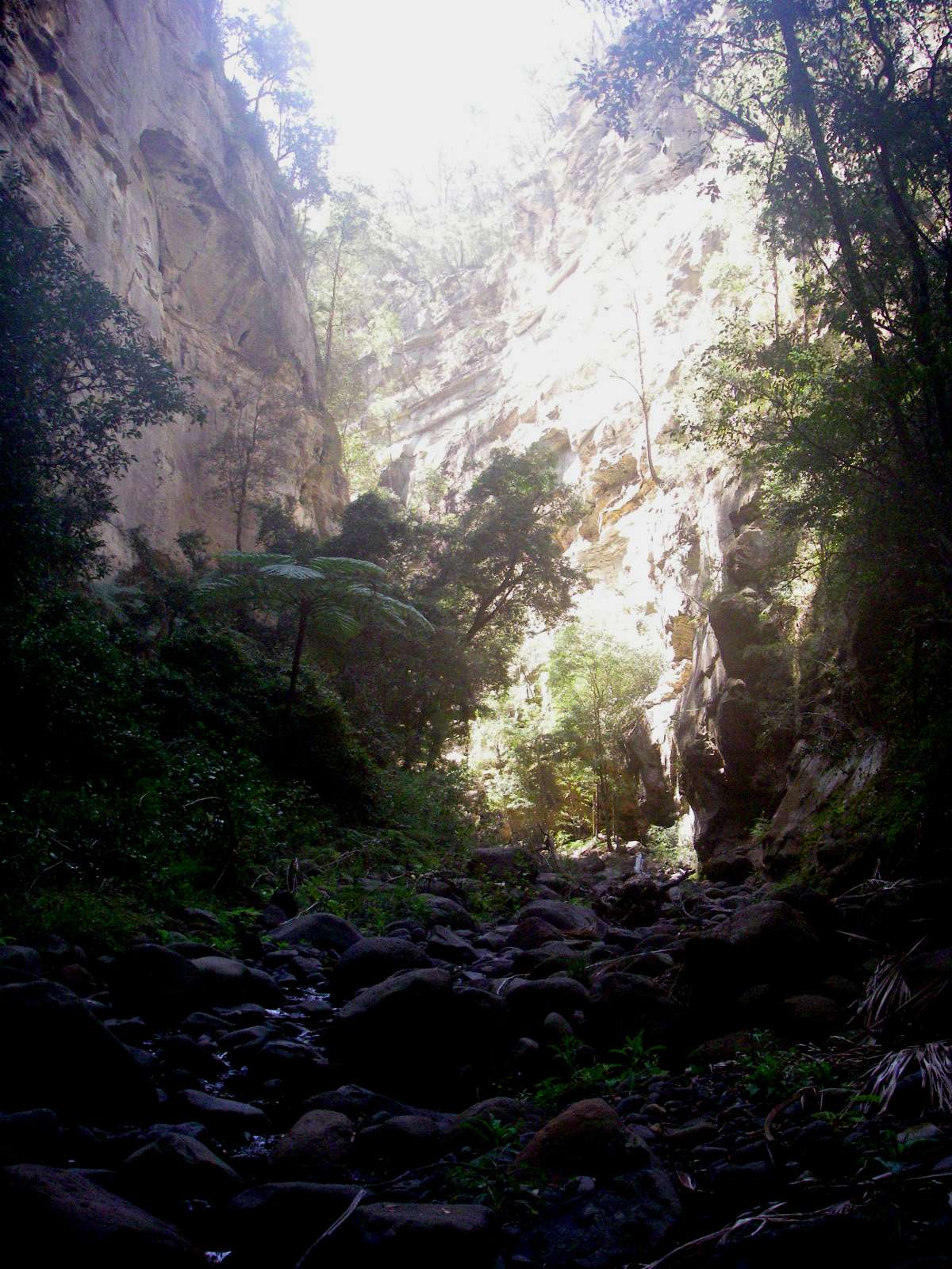
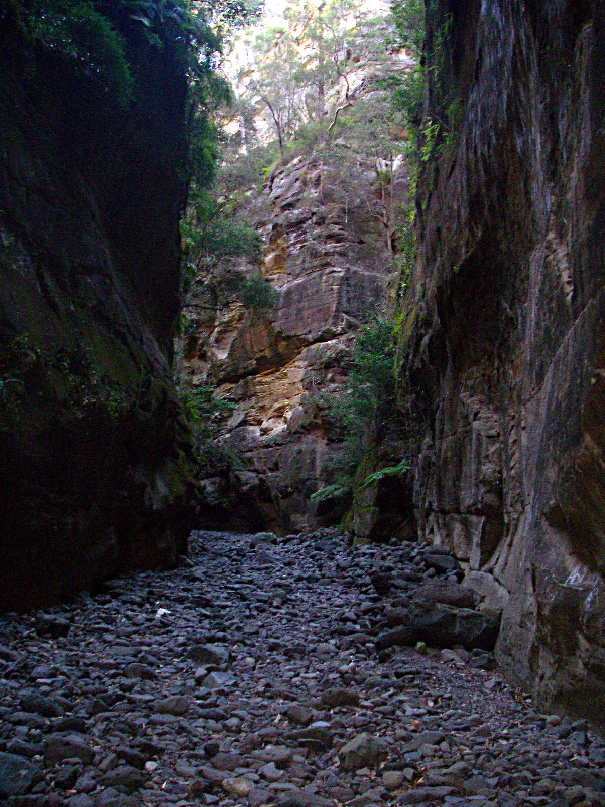
Entry to Gunda Creek Canyon.
Photo: Don Hitchcock, August 2009

The very ordinary exit of the creek gives no inkling of the very interesting canyon which lies beyond.
Photo: Don Hitchcock, August 2009
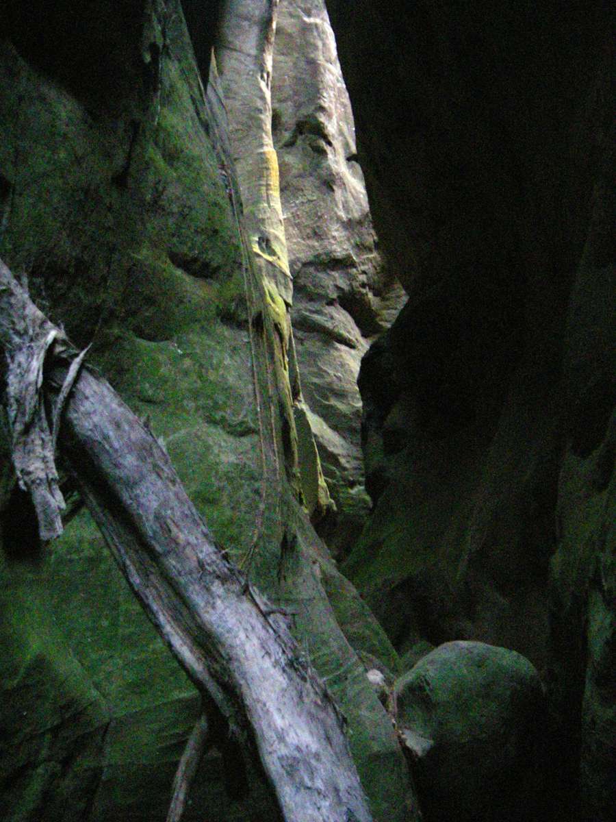
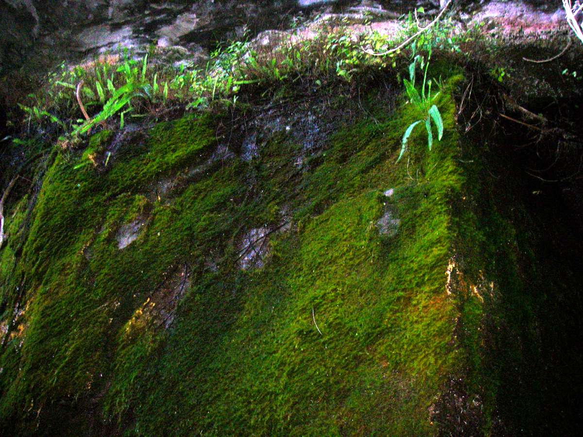
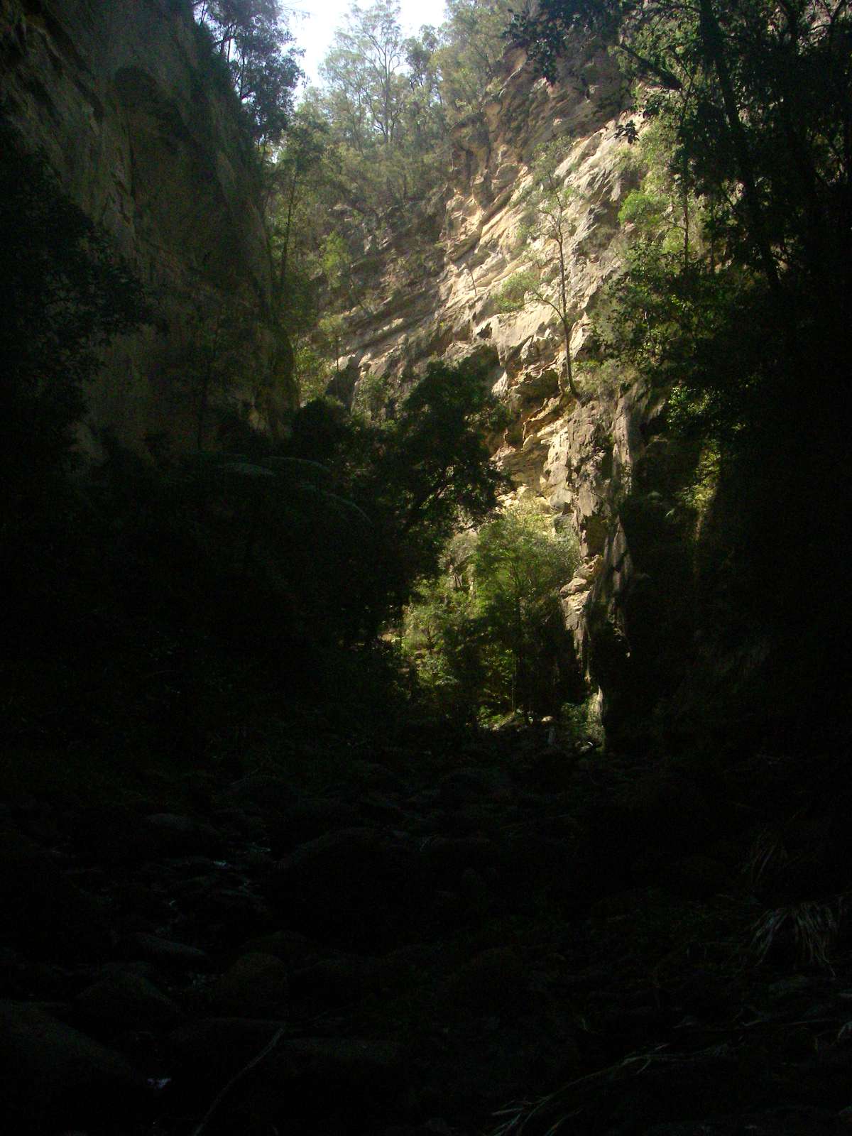
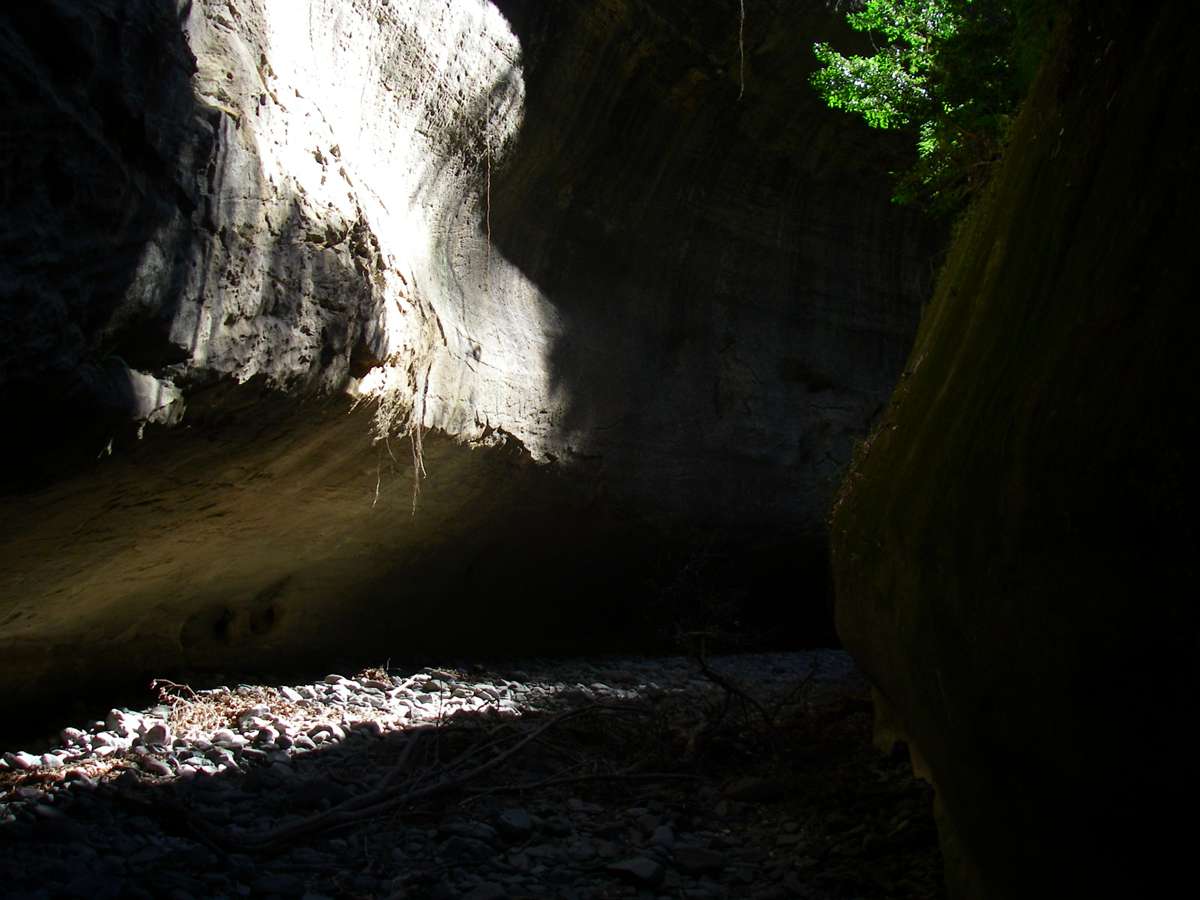
The canyon quickly develops a very narrow profile, with vertical walls covered with algae.
Photo: Don Hitchcock, August 2009

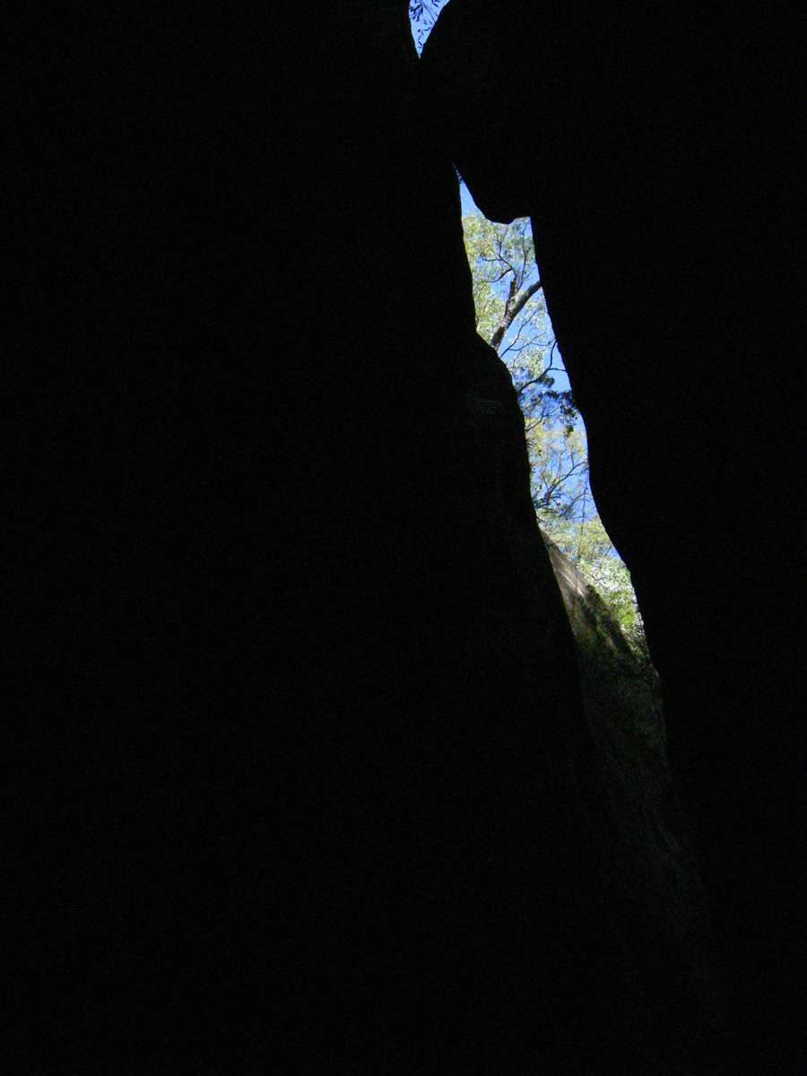
The canyon twists and turns, and invites speculation about what it would be like in a flood. Walkers would be well advised to be nowhere near if that occurred.
Photo: Don Hitchcock, August 2009


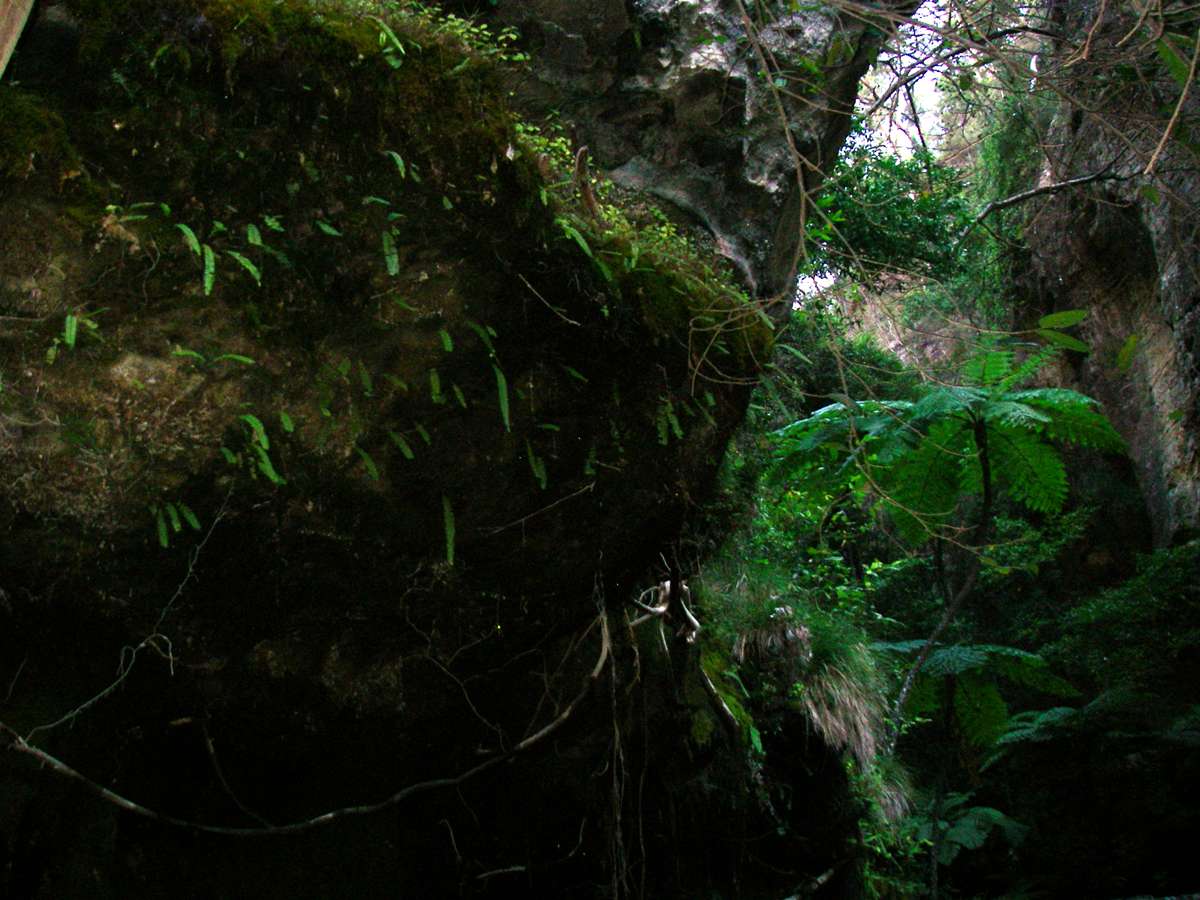
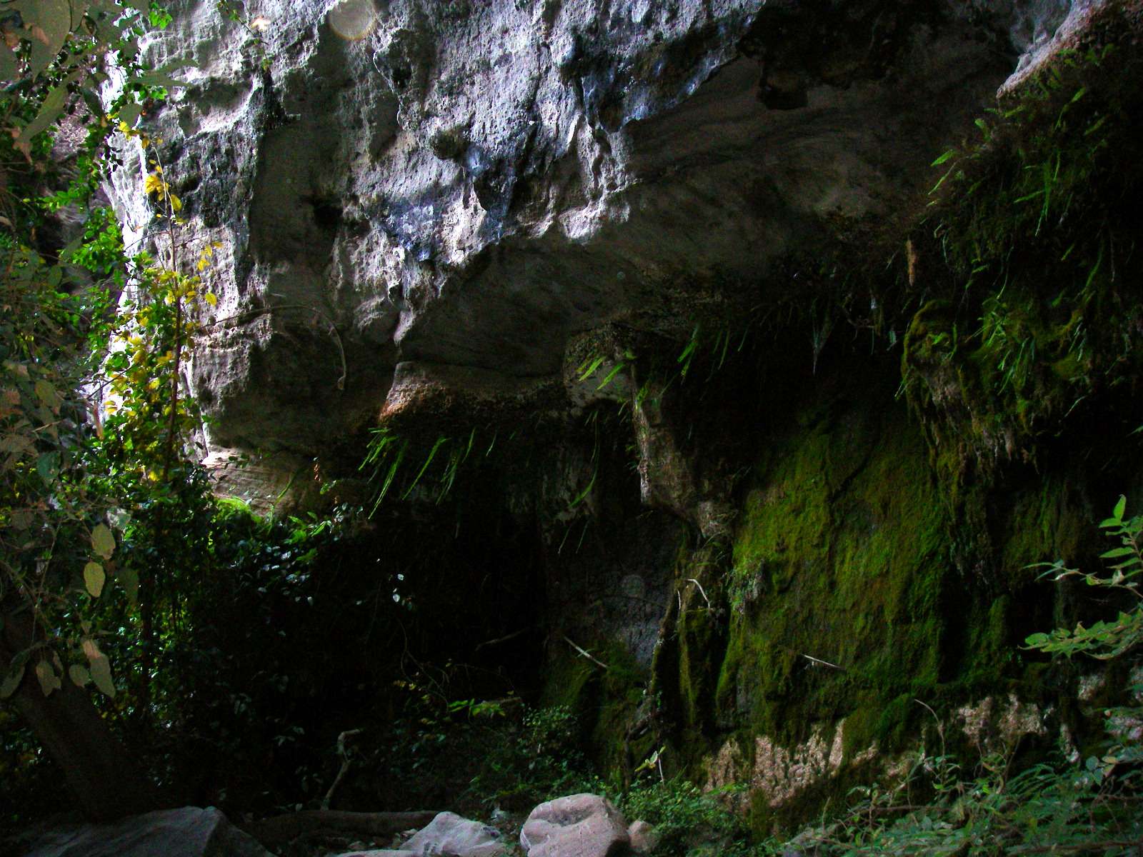
A remarkable feature of the canyon is that it maintains the same profile for a long time. Like all such canyons in the area, it was remarkably cool compared with the main gorge of Carnarvon Creek.
Photo: Don Hitchcock, August 2009
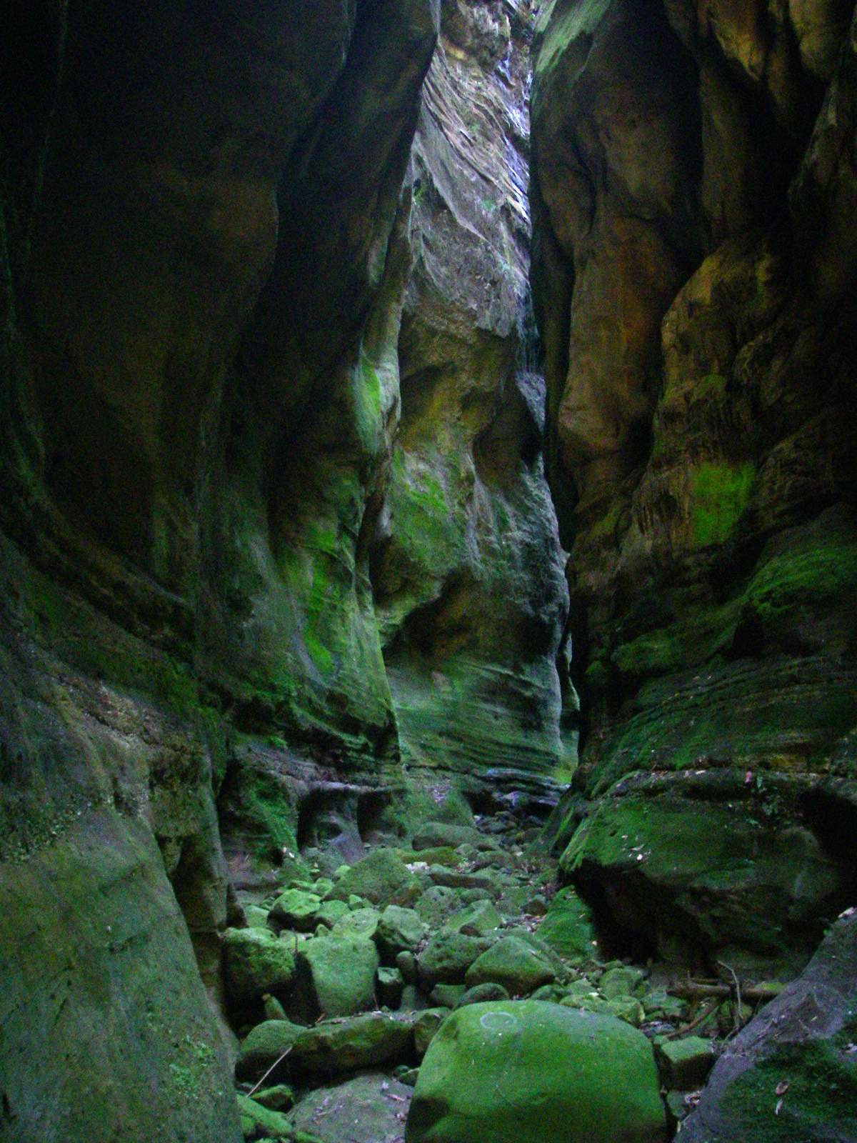
The cool, humid conditions promote the growth of algae over the whole of the lower canyon walls, giving a green coloration to the whole experience, a remarkable effect.
Photo: Don Hitchcock, August 2009

Finally this chockstone was reached, barring further progress. Rock climbers would have had no problem getting past, but it was beyond our abilities.
Photo: Don Hitchcock, August 2009
We retraced our steps, back to Carnarvon Creek, and headed downstream. We passed 'The Island' again, and then made a short detour up Nabooloo Creek, just before the Big Bend walkers' camp.
Photo: Don Hitchcock, August 2009

This ended in trash blocking further progress. Note the aerial roots of fig trees coming down the cliff in the left photo, searching for water, and the Tree Ferns enjoying the cool, moist, windless conditions.
Photo: Don Hitchcock, August 2009
Elkhorn ferns in a tightly knit community on the way out of the canyon.
Photo: Don Hitchcock, August 2009
Gaps in the cliff line are havens for plants, who relish the cool, shady and moist conditions.
Photo: Don Hitchcock, August 2009

Bracket fungi on a fallen log.
Photo: Don Hitchcock, August 2009
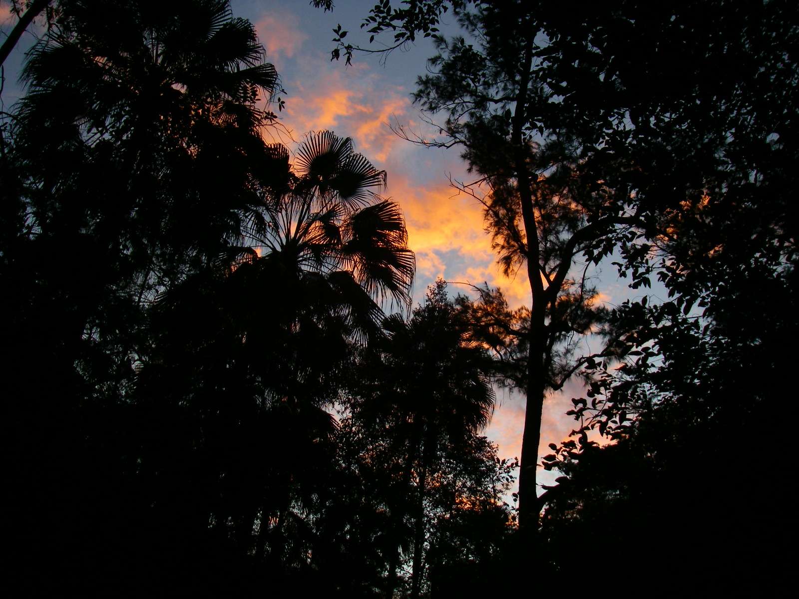
Nightfall at Big Bend camp. A delightful part of the world.
Photo: Don Hitchcock, August 2009
The Return Trip
I was very impressed indeed with the professionalism and helpfulness of all the Carnarvon National Park staff. They could not have been more helpful. We had hoped to do the Great Walk, 86 Km, but it was not to be. Fires made the trip impossible.
But staff at the Visitors Centre gave us a radio phone so that we could maintain a radio schedule with them, since when we left it was possible that we might be able to do the walk. As it turned out, the fires got worse, not better, so we had to abandon the walk.
Instead we did a lot more exploring of side canyons than would otherwise have been possible, at a time when the lower gorges were not threatened, although things were looking grim on the highlands.
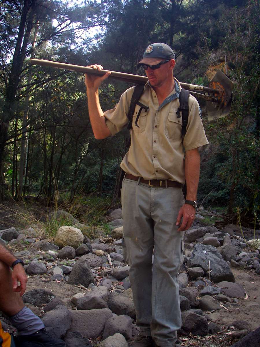
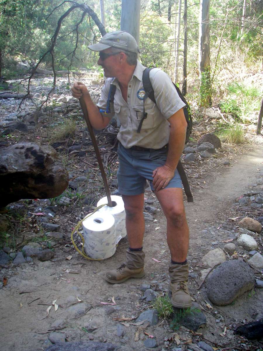
These staff whom we met on the way out were on their way to replenish supplies in the toilets along the way, and to rake leaves and brush, and make as fire ready as possible the structures in the park. They were very competent, experienced and well prepared.
Photo: Don Hitchcock, August 2009
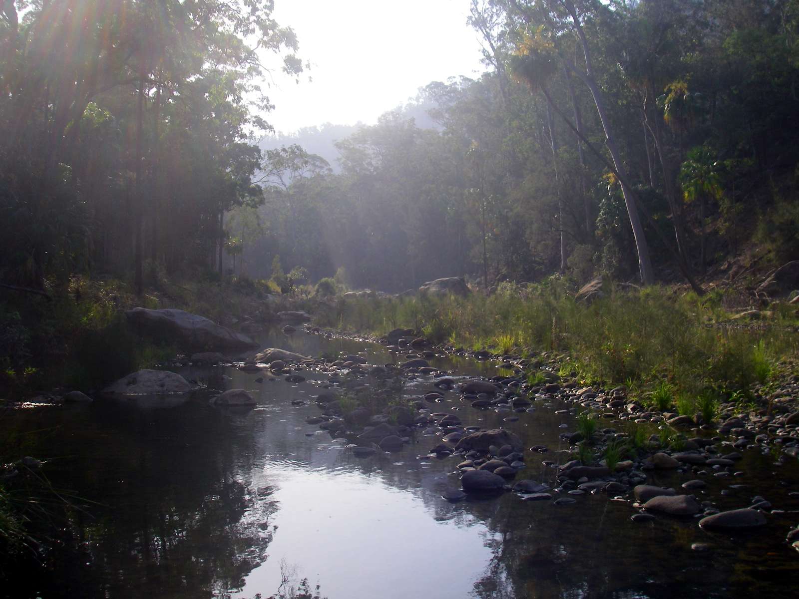
By the time we got close to the start of the track, the air was becoming thick with smoke.
Photo: Don Hitchcock, August 2009
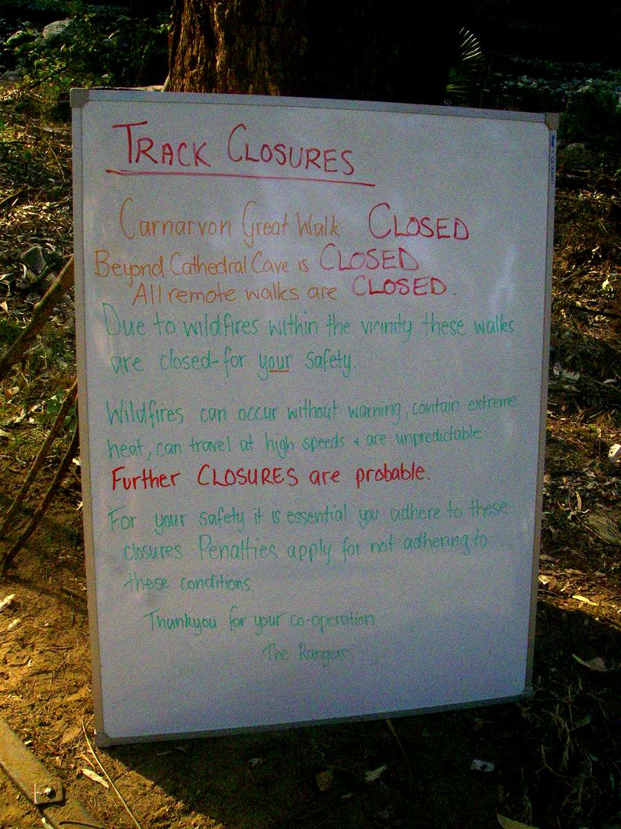
At the Visitors Centre, this sign was up, and the tracks were closed beyond Cathedral Cave.
Photo: Don Hitchcock, August 2009
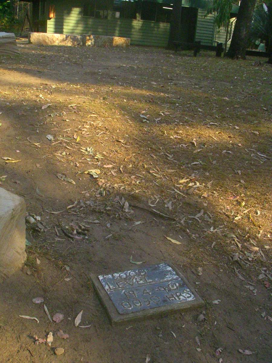
The river can get very high during the wet season. This plaque was near the Visitors Centre, and shows the high water mark in the 1990 flood.
Photo: Don Hitchcock, August 2009

It was good to sample the delights of civilisation back at the camp grounds at the Takarakka Bush Resort. There is a store there where you can get basic necessities, including beer and ice cream!
Photo: Don Hitchcock, August 2009