Back to Don's Maps
Back to Maps Page
Ukraine
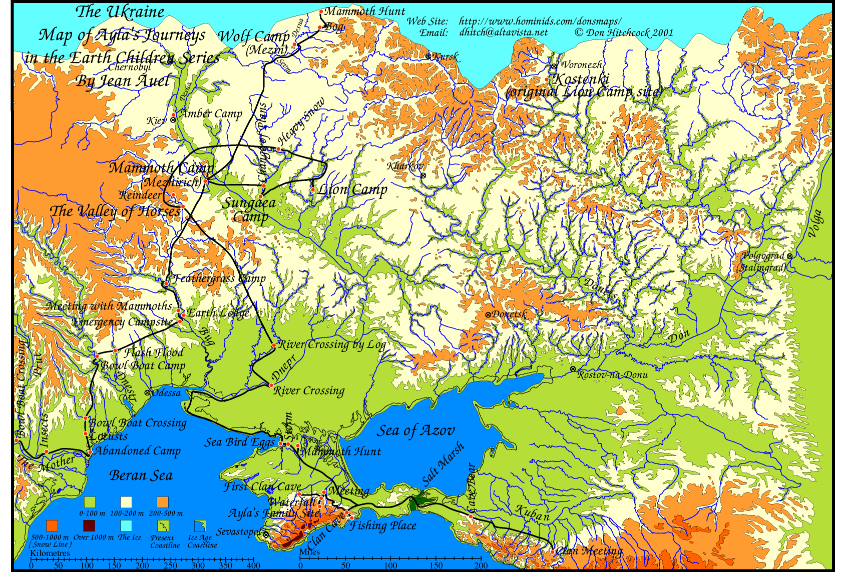
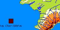
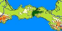
Map of Ukraine from the book 'The Mammoth Hunters' by Jean Auel.
open this map in another window
open the larger, better quality map in another window
There are several ways to print this image.
Here is the full size map as above with Ayla's Journeys.

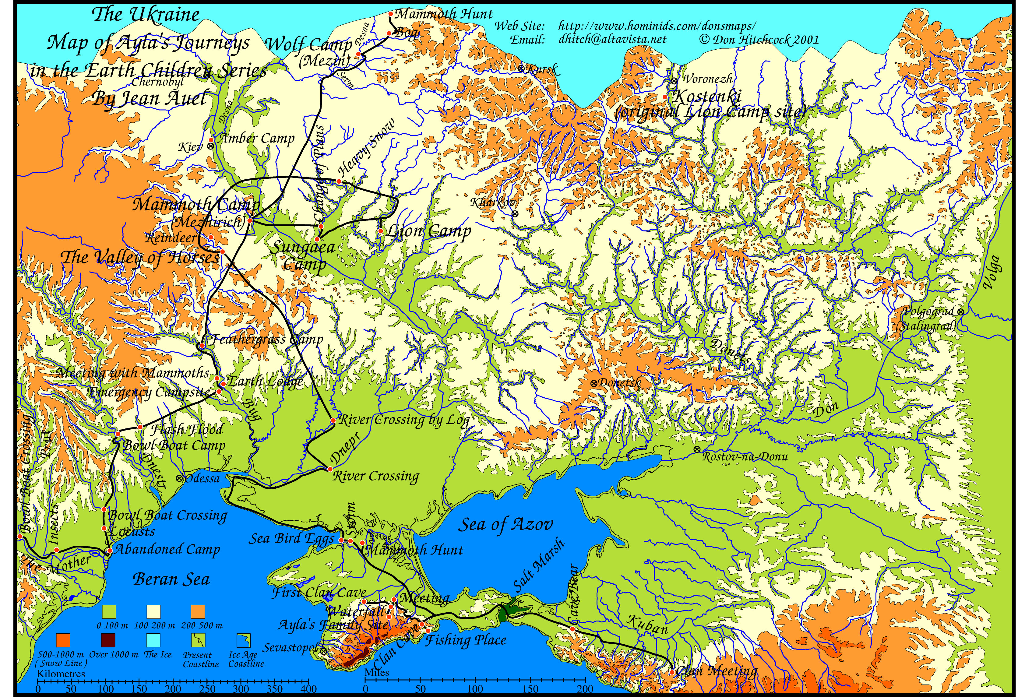
Here is the full size map without text, but with the ice and modified coastline, suitable perhaps for those writing fiction about Ukraine in the ice ages. This version has the modern coastline as well as the modified coastline.
Here is the full size map without text, but with the ice and modified coastline, suitable perhaps for those writing fiction about Ukraine in the ice ages. This version does not have the modern coastline as part of the map.

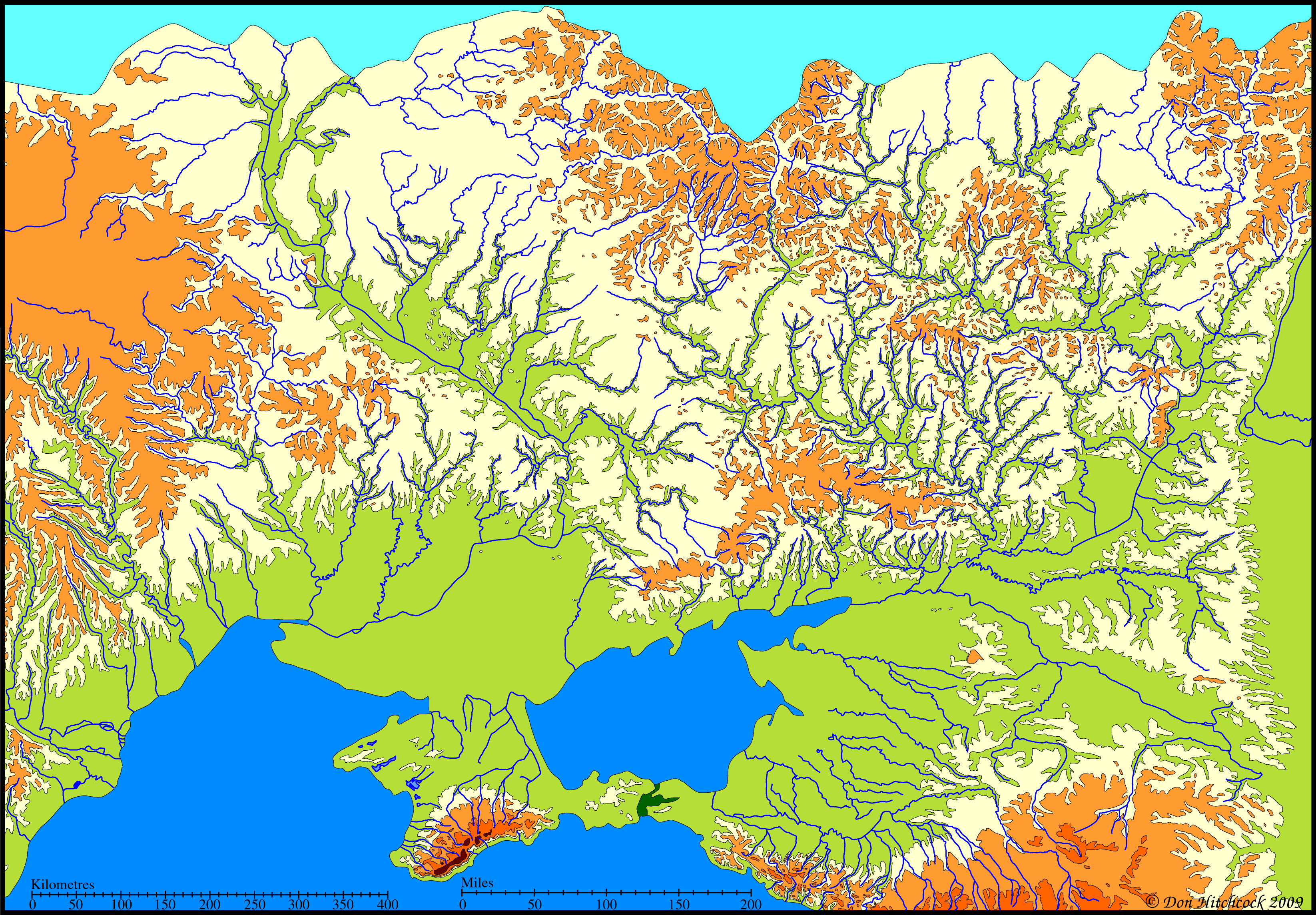
Here is the full size map without text, and without the ice, and with the modern coastline, suitable perhaps for those needing a physical map of Ukraine without any text.
Here is the original map as a pdf file.
This should allow the user to print the map as a single page on all computers and printers using the free Adobe Reader program.
Other programs and browsers may open the file, but it is best to use Adobe Reader to print it, since other programs tend to chop bits off.
Here is the map without text, and without the ice, and with the modern coastline as a pdf file.
This should allow the user to print the map as a single page on all computers and printers using the free Adobe Reader program.
Other programs and browsers may open the file, but it is best to use Adobe Reader to print it, since other programs tend to chop bits off.
Here is the map without text, but with the ice and modified coastline, as a pdf which will fit on one page when printed, suitable perhaps for those writing fiction about Ukraine in the ice ages. This version does not have the modern coastline as part of the map.
Here is the map without text, but with the ice and modified coastline as a pdf file.
This should allow the user to print the map as a single page on all computers and printers using the free Adobe Reader program.
Other programs and browsers may open the file, but it is best to use Adobe Reader to print it, since other programs tend to chop bits off.
Many people find that the above method using a pdf file is the best way to print the file. It should open in Adobe Reader, which is a free program that most people have, but if not you can get it at:
http://www.adobe.com/products/reader/
Another way to print this image is to copy it and paste into a drawing program such as Claris Works, Apple Works, MS Works, Adobe Illustrator, Corel Draw etc.
For Mac: click and hold on the map until you can choose 'copy this image' from the pop up menu.
For PC: Right click on the map and choose 'copy this image' from the pop up menu.
Then paste into a drawing program, and choose a percentage scale from the page set up menu to allow the entire page to fit on one sheet of paper. Try 30% for the large map, with horizontal (landscape) orientation for the page.
Another way to do the same thing perhaps more easily is to click on the 'open map in another window' link above. It opens a page which only contains the map. This should then allow you to more easily save the map (go to the file menu and 'save as source') so that you can open it later from a drawing program.
Another method is that after saving it from Netscape, later on at your convenience open it again with Netscape (or Internet Explorer, whatever you saved it from) and print from your browser itself. Make sure you change the page setup to print with horizontal (landscape) orientation for the page, and at say 30%.
I'd appreciate feedback on the success or otherwise of these instructions.