Back to Don's Maps
 Bushwalking Index
 Chandler River - Lower reaches, bushwalking and hiking
These photos and accompanying text are for the interest of armchair travellers only, and do not constitute comprehensive instructions for bushwalkers.
The Chandler River Gorge is for very fit, very experienced and well prepared bushwalkers only. There is no track, it is very strenuous, and bush craft, topographical maps and compass are required. Sufficient water and food and survival equipment should be carried. One or more overnight camps are usually necessary, for which sufficient appropriate equipment should be carried. Always carry a Personal Locator Beacon, and tell reliable people where you are going and how long your party will be away. Mobile phones do not work anywhere in the gorges for sure, and almost never even on top of the cliff line.
This is a photographic record of the trip from the Long Point shelter shed, down the ridge to the Chandler, and thence downstream along the Chandler past the junctions of the Oakey and the Styx to the junction with the Macleay. The return trip takes four days.
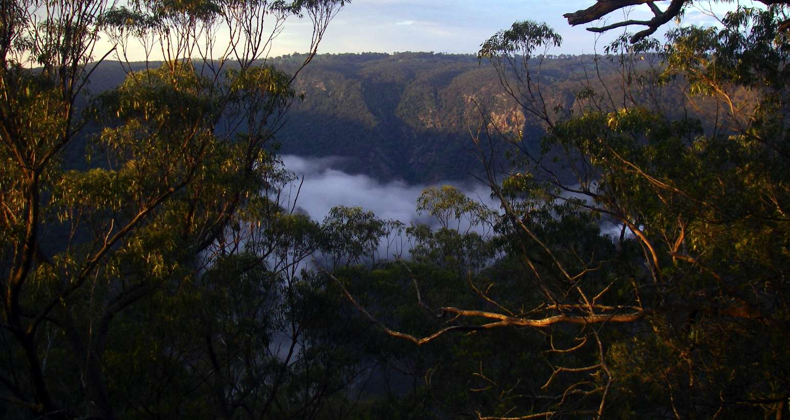
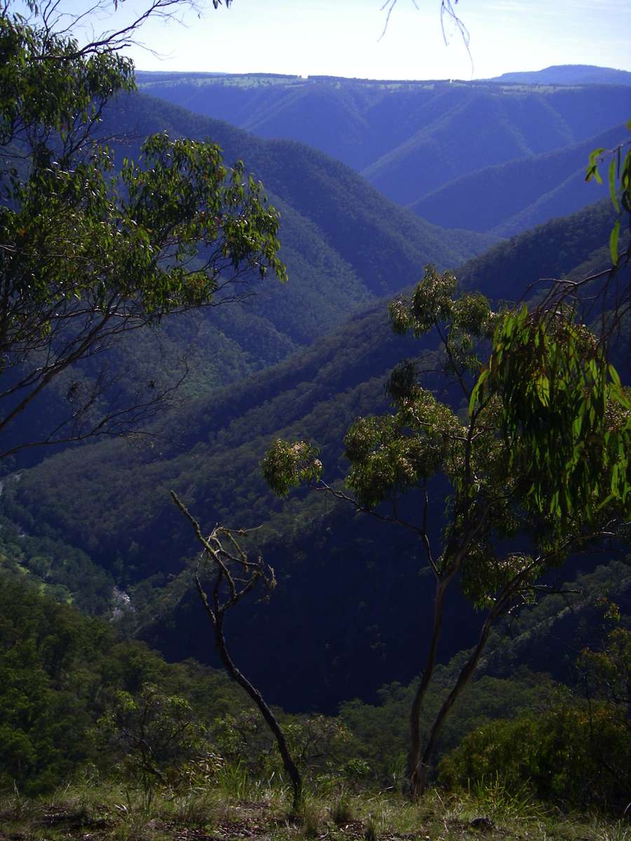
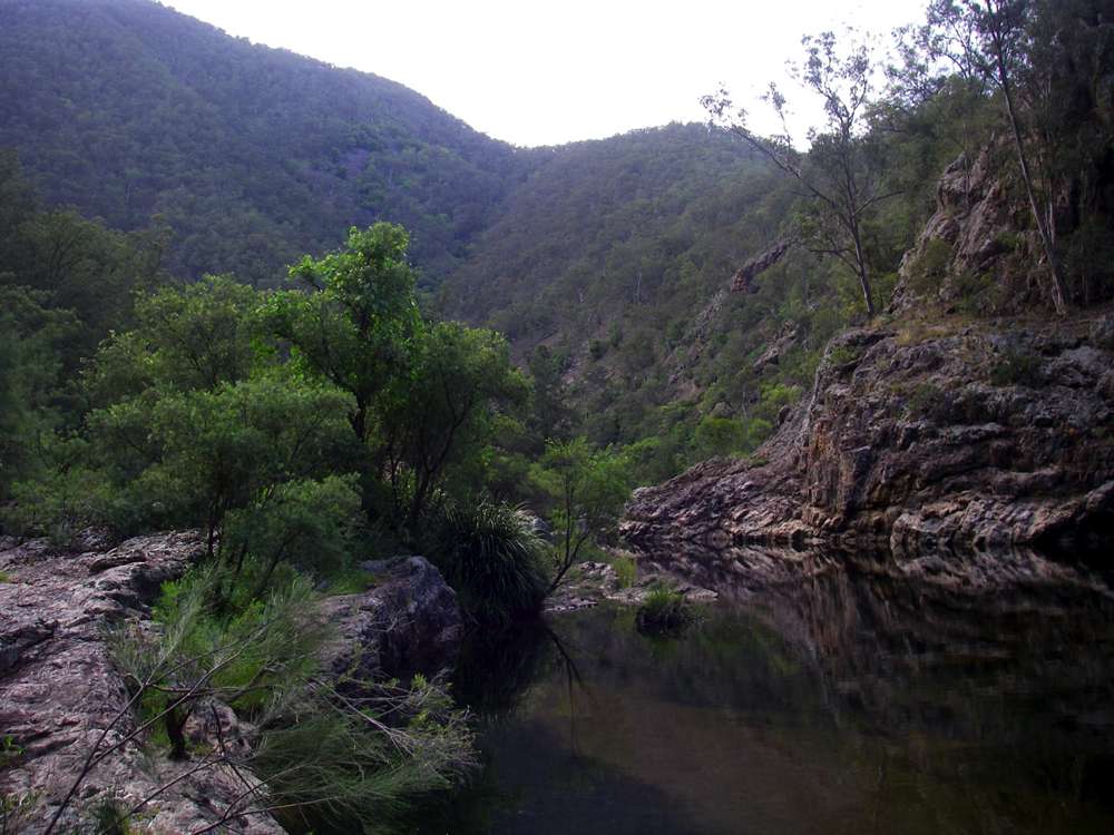
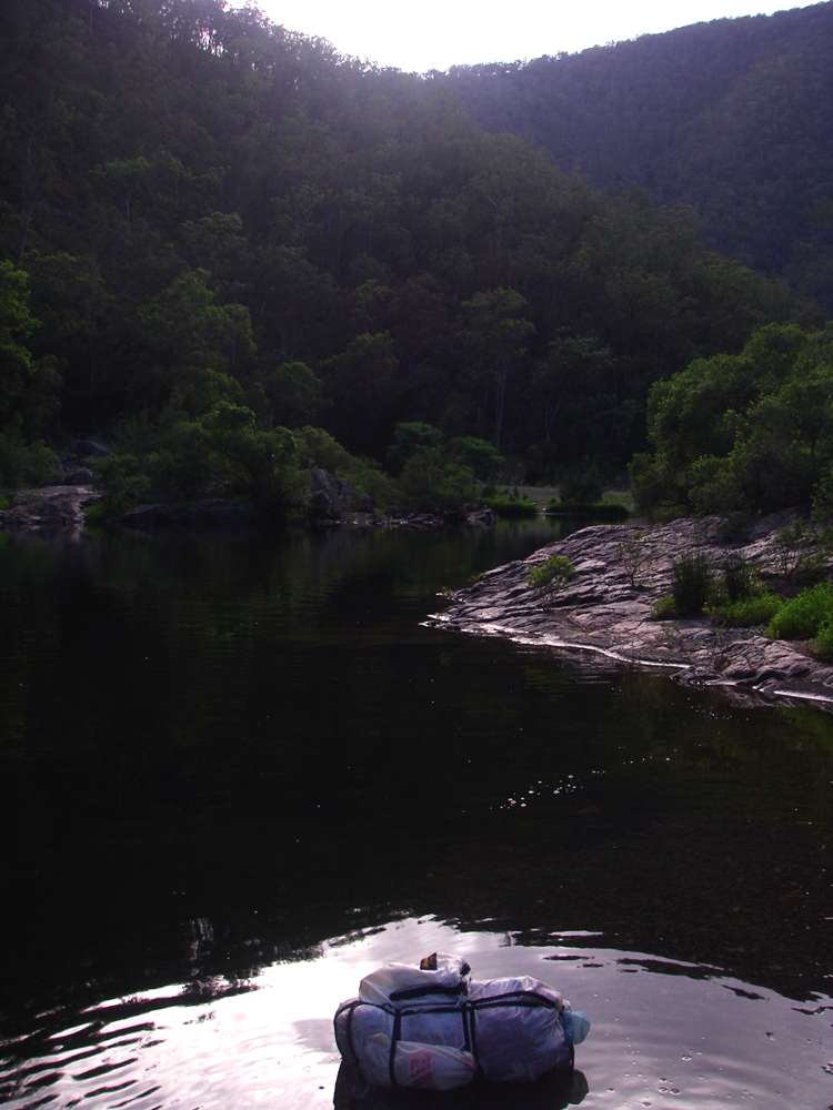
View down the Chandler in the early morning from the Long Point shelter shed ridge.
Photo: November 2008

The Long Point shelter shed. There is usually mobile phone coverage at this point. The Chandler is 700 metres in altitude lower than the shelter shed. And it is 700 metres back up again....
Photo: Don Hitchcock April 2008
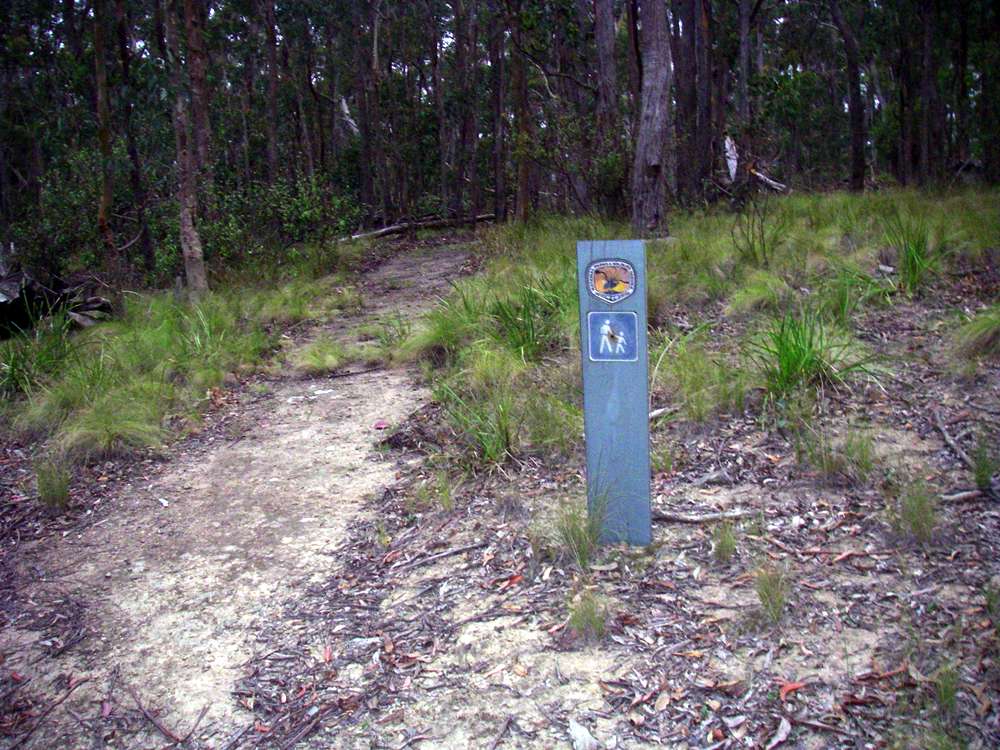
The entry to the track is not at all obvious, it is about fifty metres or so back from the side road to the Long Point shelter shed. In all the years I've been going to this area, I've never yet succeeded in seeing it on the way to the shelter shed, I've always had to backtrack.
It takes about two hours from this point to the bottom of the ridge at the Chandler.
Photo: Don Hitchcock December 2008
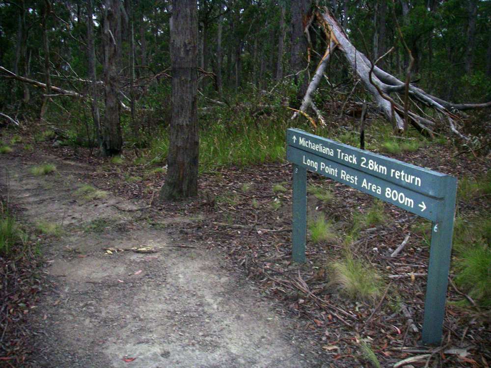
The track to the ridge down to the Chandler is behind this sign, past the tree which has fallen completely across the track.
The well marked track going to the left goes to a tourist lookout on top of the cliff line.
Photo: Don Hitchcock December 2008

Sign at the start of the steep descent to the Chandler, on the track from Long Point Shelter Shed.
Photo: Don Hitchcock December 2008

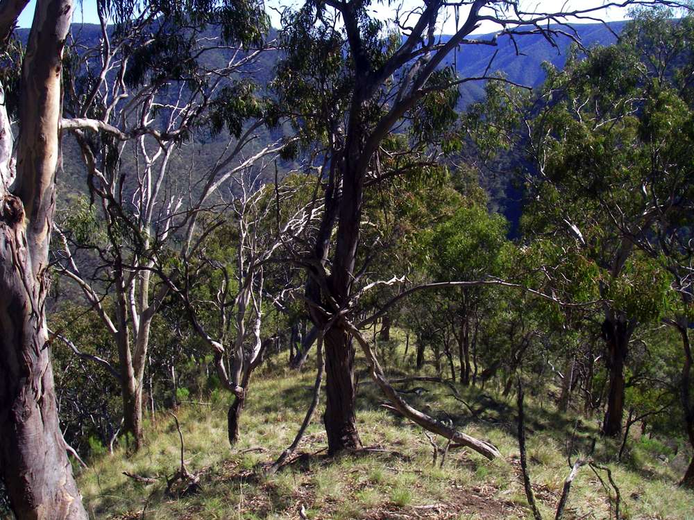
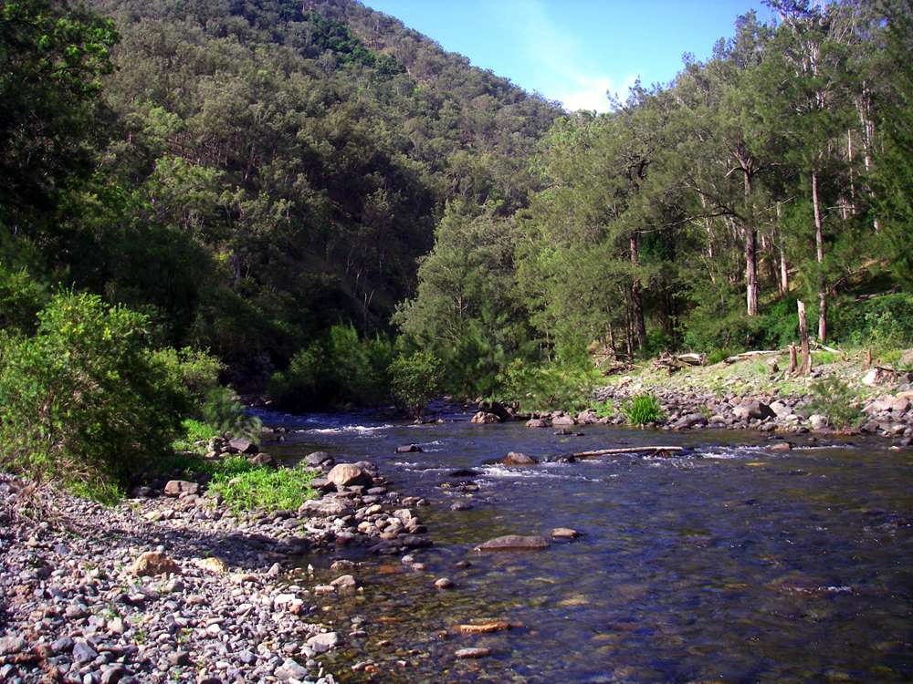
Looking upstream from a vantage point near the sign.
Photo: Don Hitchcock December 2008
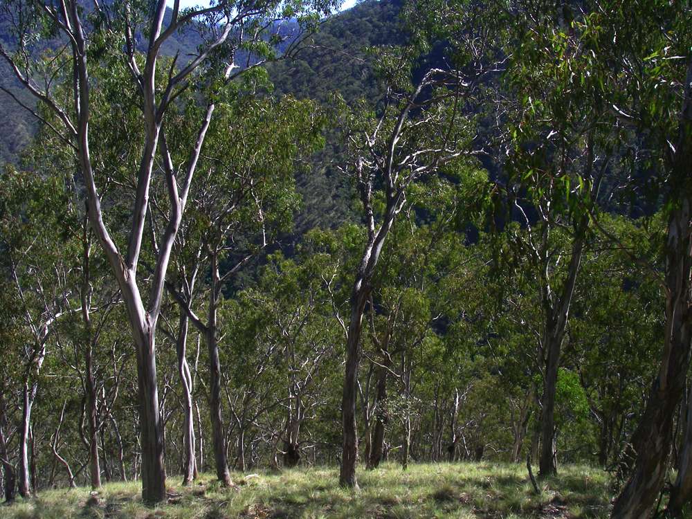
View downstream a little further down the ridge.
Photo: Don Hitchcock December 2008
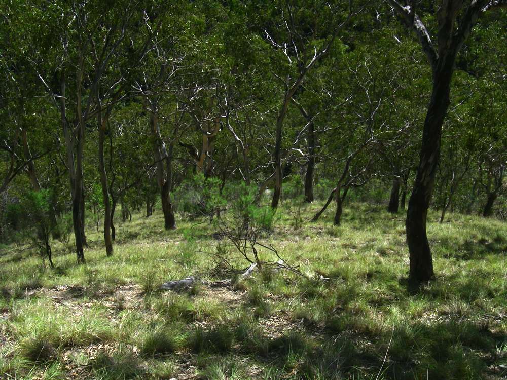
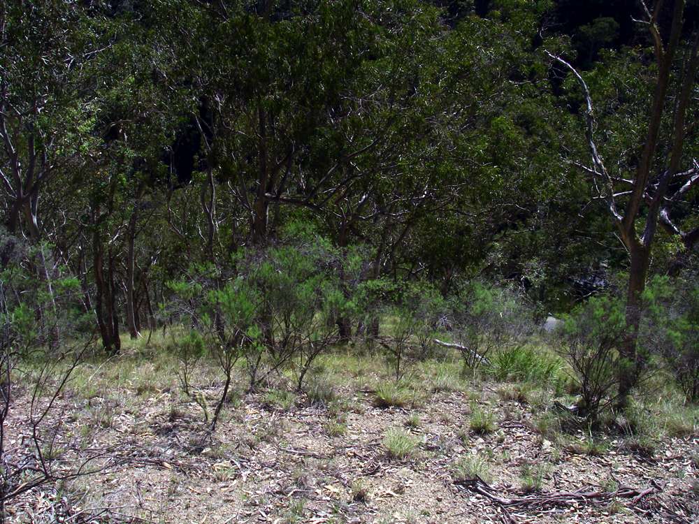
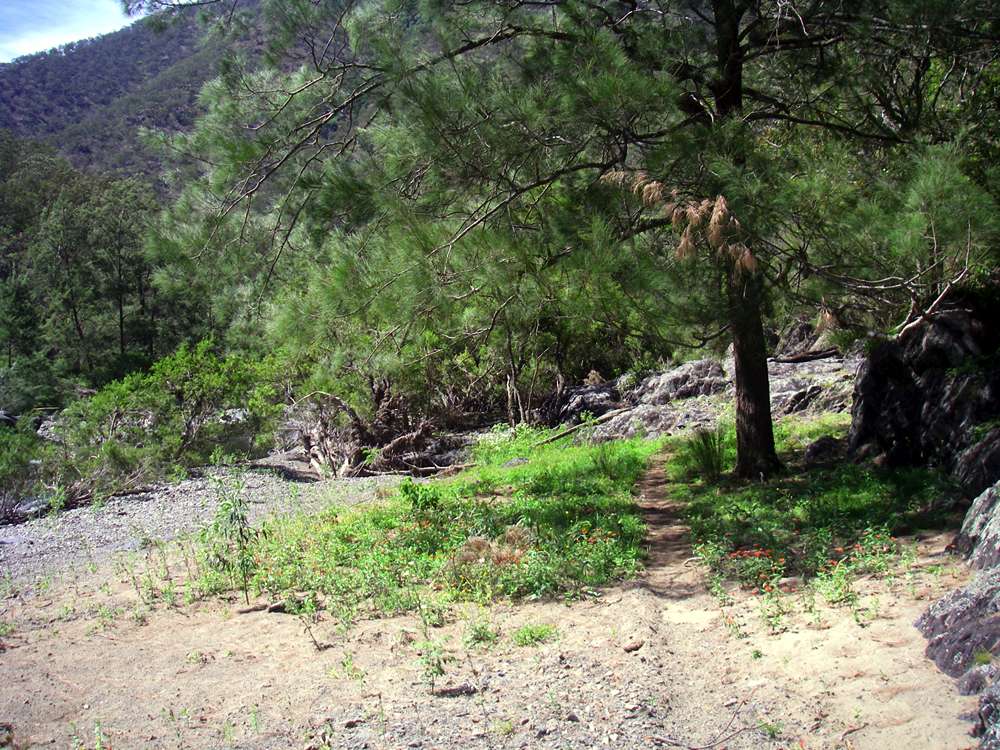
The ridge is easy to follow, at least at first. However it is usually easier to follow ridges going up than going down. Any spur will lead to the main ridge going up, but it is easy to take the wrong spur on the way down.
Photo: Don Hitchcock December 2008
Further down, the ridge flattens, and the best route is right on the top of the ridge. Do not be tempted to go left or right.
Left leads to a steep and difficult entry, right leads to a dry, stony creek bed where I've torn the seat out of my trousers skidding down.
Photo: Don Hitchcock December 2008
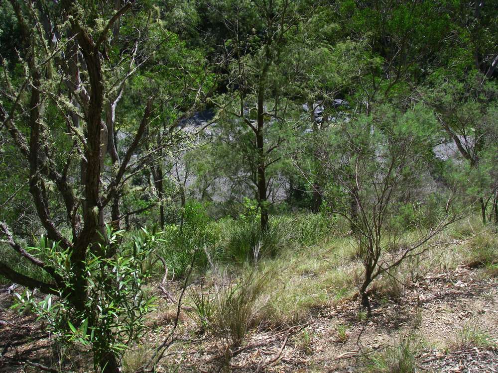
Eventually the river can be seen through the trees.
Photo: Don Hitchcock December 2008
At the bottom of the ridge, these strap like grasses, Lomandra longifolia, are quite distinctive.
Photo: Don Hitchcock December 2008
If you have carefully followed the ridge, which takes a slight left hand bend near the bottom, you will see this channel in the rock of the river bank. There is a reasonable climb down if you move a few metres to the right of this channel, though the handholds are on the portable side.
Photo: Don Hitchcock December 2008
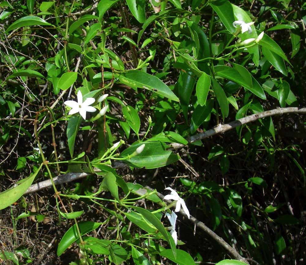
This Clematis sp. was in flower on the route down to the river bank.
Photo: Don Hitchcock December 2008

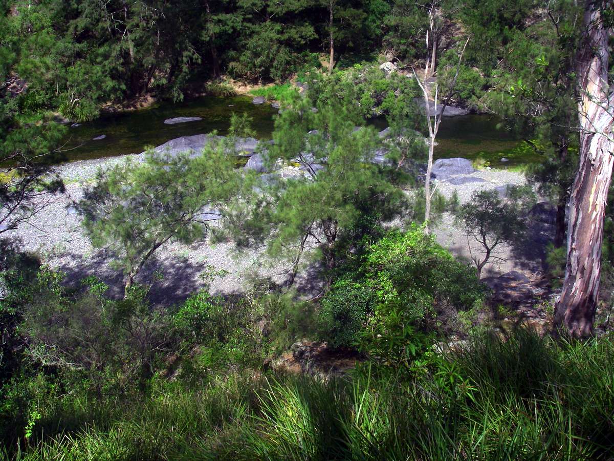
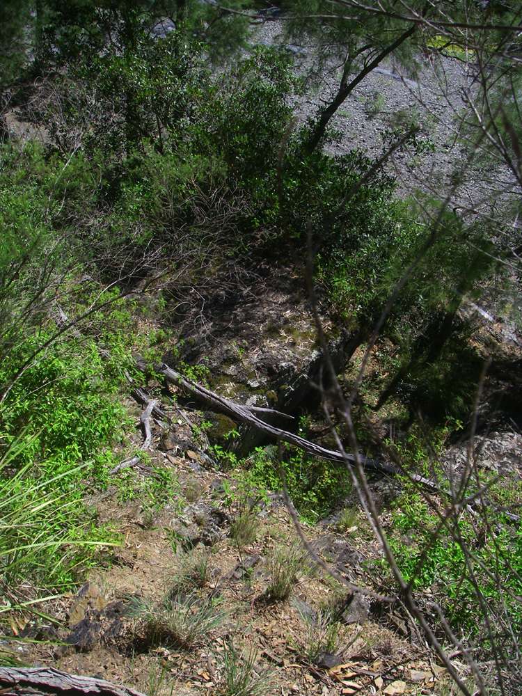
This orange red scree slope is quite distinctive, looking downstream from the base of the ridge.
Photo: Don Hitchcock October 2007
A short distance downstream there was a small tent space beside the river, under a Casuarina.
Photo: Don Hitchcock December 2008
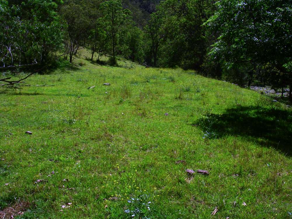
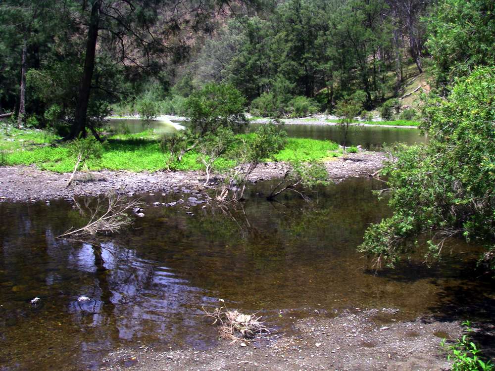
However there was no shortage of good camp sites further down. My theory is that these flat grassy areas so convenient for bushwalkers, which occur throughout the gorge system, were laid down in the last ice age, when conditions were stable for a long time, and there was little runoff.
At the end of the ice age, precipitation increased, and the rivers cut new channels, leaving these old flat areas high above the present channel. They do not occur everywhere, since they have usually been destroyed where the gorge is narrow.
Floods rarely or never get up to these campsites, kept mown by kangaroos and wallabies and sometimes horses and cattle, depending on where you are in the gorge system. There were cattle around in this section of the gorge, and their tracks were very welcome when they occurred.
Photo: Don Hitchcock December 2008
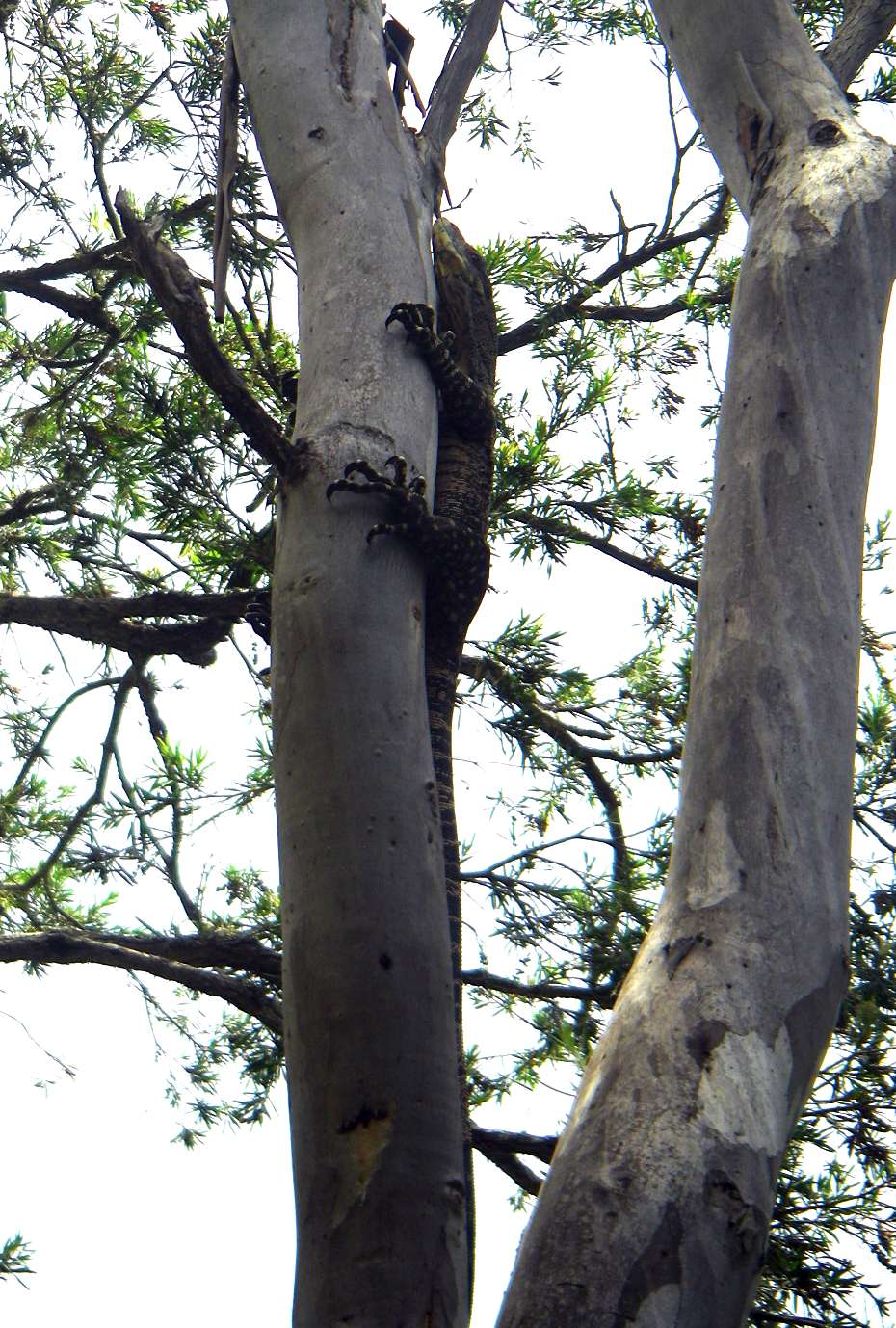
This goanna scurried up a tree when I got close. I saw three goannas on this trip.
Photo: Don Hitchcock December 2008
The Oakey (the stream in the foreground) had a reasonable amount of water in it as I went by. There is a small hydro-electric plant on the upper reaches of the Oakey.
Photo: Don Hitchcock December 2008

This sort of easy walking is what I call "whistling under the gum trees". Cattle in the gorges provide excellent trails to follow, and a walker can make good time by searching the cattle pads out, and crossing the stream when the cattle do. After all, they live here, and know the best place to cross.
Photo: Don Hitchcock December 2008
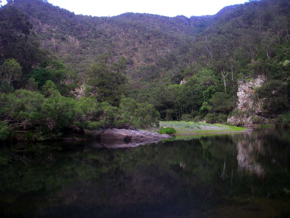
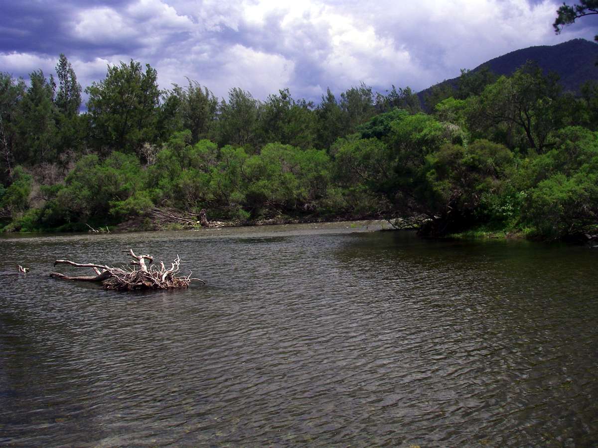
Entry of the Styx into the Chandler. It was bigger than the Chandler at this point, higher than I've seen it in previous trips, and rises in the New England National Park near Point Lookout.
The water in the gorges on this trip was clean and good to drink, though I always sterilise or boil the water. I use thirty drops of twenty volume hydrogen peroxide per litre for the water I drink unboiled, and have never had any problems. I use a Visine eye wash dropper, which is convenient and light to carry, and lasts for a four day walk. I generally sterilise two 1.25 litre coke bottles each night, drink one by morning and drink the other during the following day, as well as numerous cups of coffee and tea.
Photo: Don Hitchcock December 2008


The carapace of what was probably a long necked tortoise. They are aquatic animals, but with claws rather than flippers, which is why in Australia they are called tortoises. In the US I understand they would be called turtles, on the basis that they are water dwelling.
Photo: Don Hitchcock December 2008
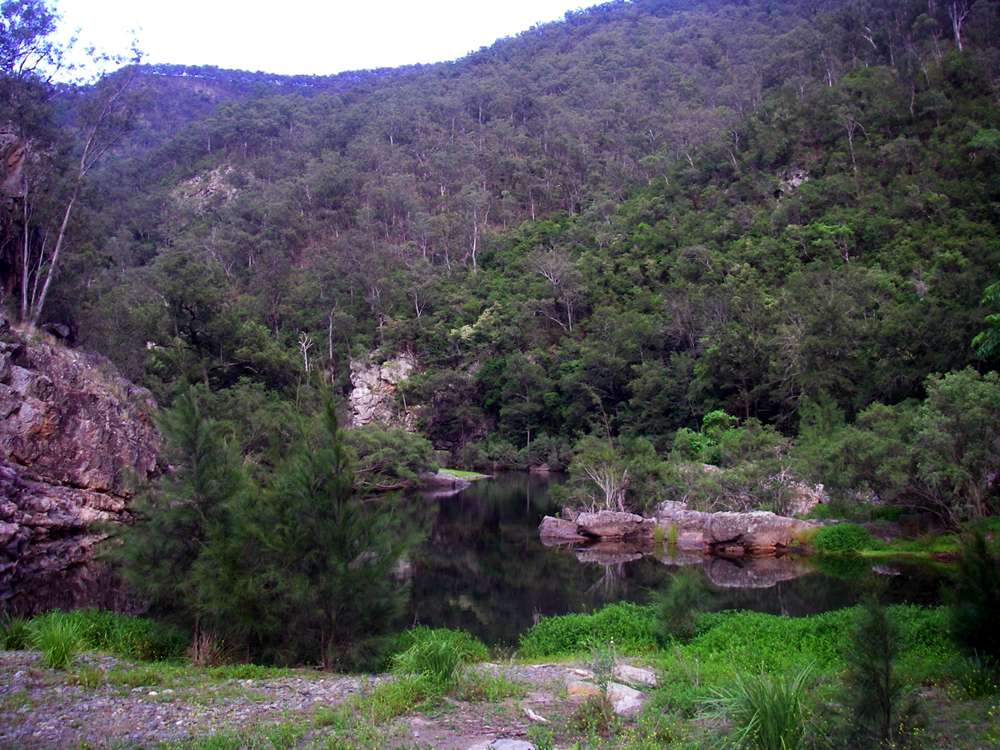
What I call "Take a swim" lagoon. This acts as a natural barrier for the easy passage of cattle and horses up and down the stream, and for four wheel drive (SUV) vehicles. There did not seem to be recent activity of 4WD vehicles above this point, as there had been the previous year. Perhaps the access road had been closed.
It is easiest to swim by crossing the rocks to the peninsula on the right in the photo, and entering the water at a shallow spot there.
Photo: Don Hitchcock December 2008
Looking upstream (left) and downstream (right) from the rock platform that shelves into shallow water with a gravelled, weedy bottom. The swim this time was for five or six metres before wading out on gravel and over permanent weed mats.
Photo: Don Hitchcock December 2008
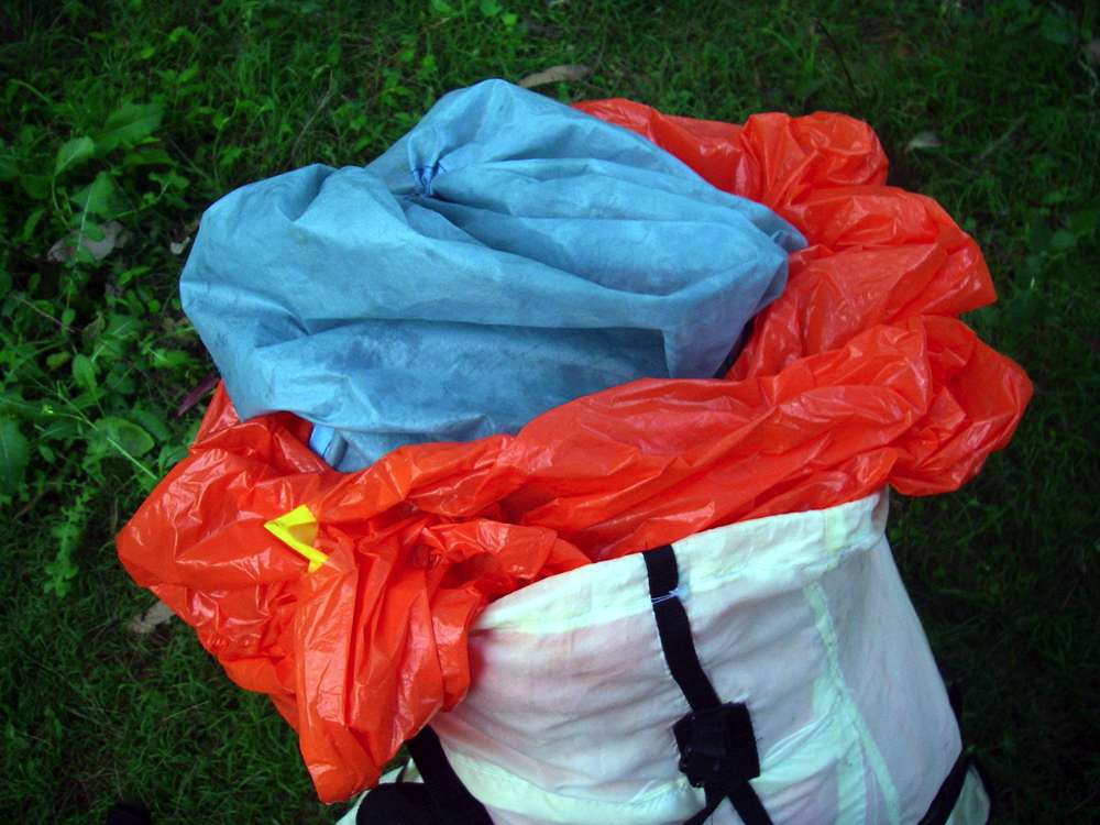
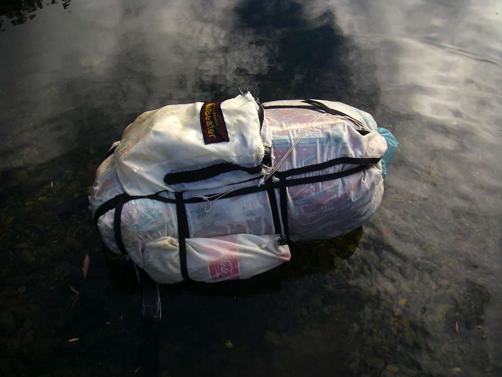
I've tried a few ways to swim a river, and this method works well for me.
Inside the pack you put one or two new orange garbage bags, a pack liner inside that to absorb the pushing and shoving and sharp bits inside your pack, and everything inside that in plastic bags, including your sleeping bag (MOST IMPORTANT!) and tent, the tent because you pack it up wet in the morning usually (from dew) and it will send moisture elsewhere if you let it. Thin black plastic garbage bags are fine for that, they don't have any stress on them. All food and clothes etc in ziplock bags. This particular river crossing I had the inner next to the pack, as in the centre and right photos, which means the inner gets wet, not a real problem since it is silnylon, but I prefer pack/plastic bag/inner, as in the left photo taken later in the trip.
Close the inner, and twist the garbage bag(s) top tightly, fold under the top of your bag, close that, and you're done. My pack for the four day Chandler trip weighed 9.2 kg for the four day trip, and by the time I needed it for a swim across the river (second morning) it was probably about 8.5 kg. Since it is effectively an 80 litre pack, only about a tenth of it gets wet, and it is very stable floating on its back. You can stuff your clothes in the front pocket, (it's an advantage to have shorts with wide legs so you can slide them over your boots) and push it across the river. Not a good thing to let go of the pack if there was any current, though. A lanyard to the pack would be de rigeur under those circumstances, unless you wanted to walk out wearing just shoes and a hat and no pack. The entry to civilisation would be the interesting part...
And another good thing about that method down the gorges is that if you make an unplanned entry into the water, nothing is damaged. Also I found myself taking the pack off and floating it across in front of me when the water got in any way deep (up to my thighs for example) and leaning on it for stability. Worked a treat. Some of those crossings have large rocks covered in algae, and it is easy to go base over apex and into the water.
Photo: Don Hitchcock December 2008

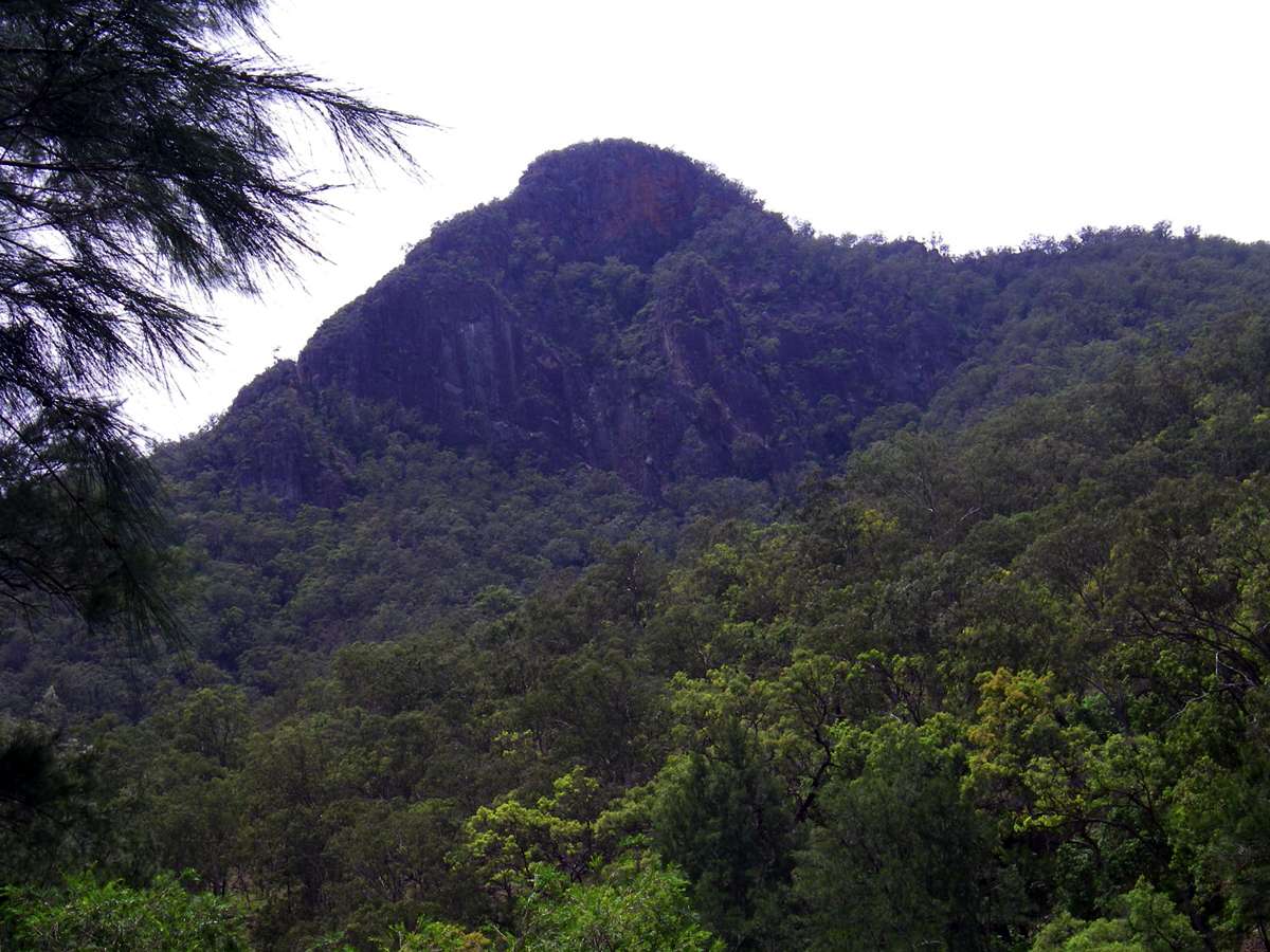
Looking downstream to Hall's Peak, on the true left hand of the river.
Photo: Don Hitchcock December 2008

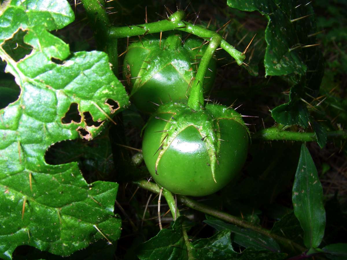
An Australian Solanum sp., a member of the potato, tomato and deadly nightshade family. It produces "tomatoes" which are possibly poisonous or at least inedible, I've never been game to try.
Photo: Don Hitchcock December 2008
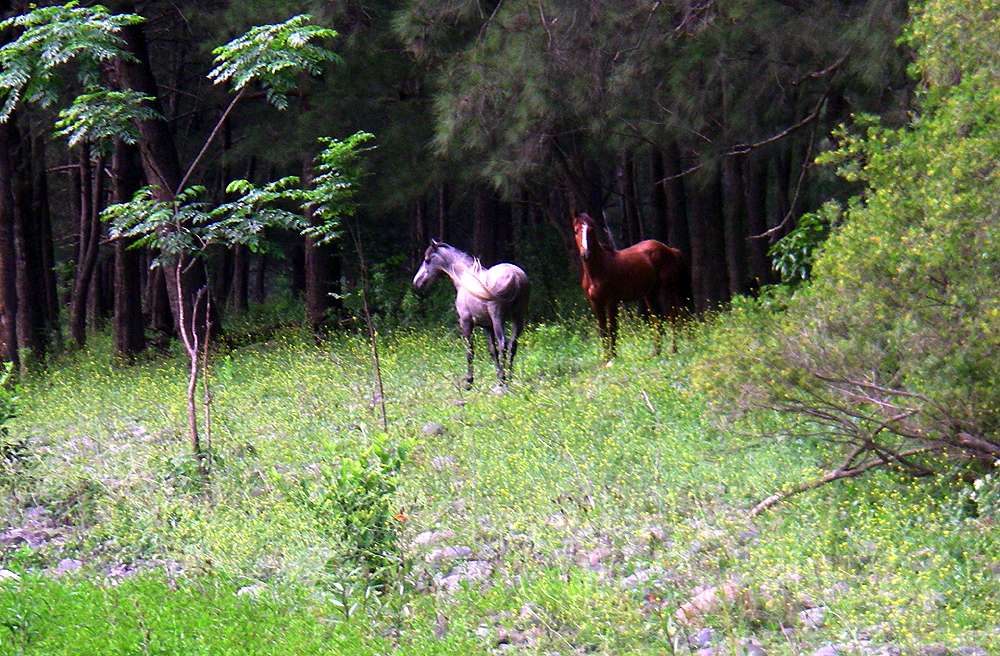
Wild horses are a feature of this section of the walk. They make excellent tracks, better than cattle, because they keep low growing vegetation nipped back, and are willing to climb a little to cut off a long walk. If I had my way, the NPWS would subsidise land owners under strict conditions to keep cattle and horses in the gorges in order to keep the tracks open. Properly managed, this would be a very cost effective strategy.
Photo: Don Hitchcock December 2008
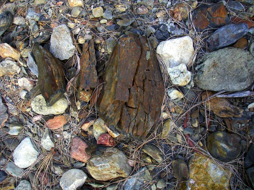
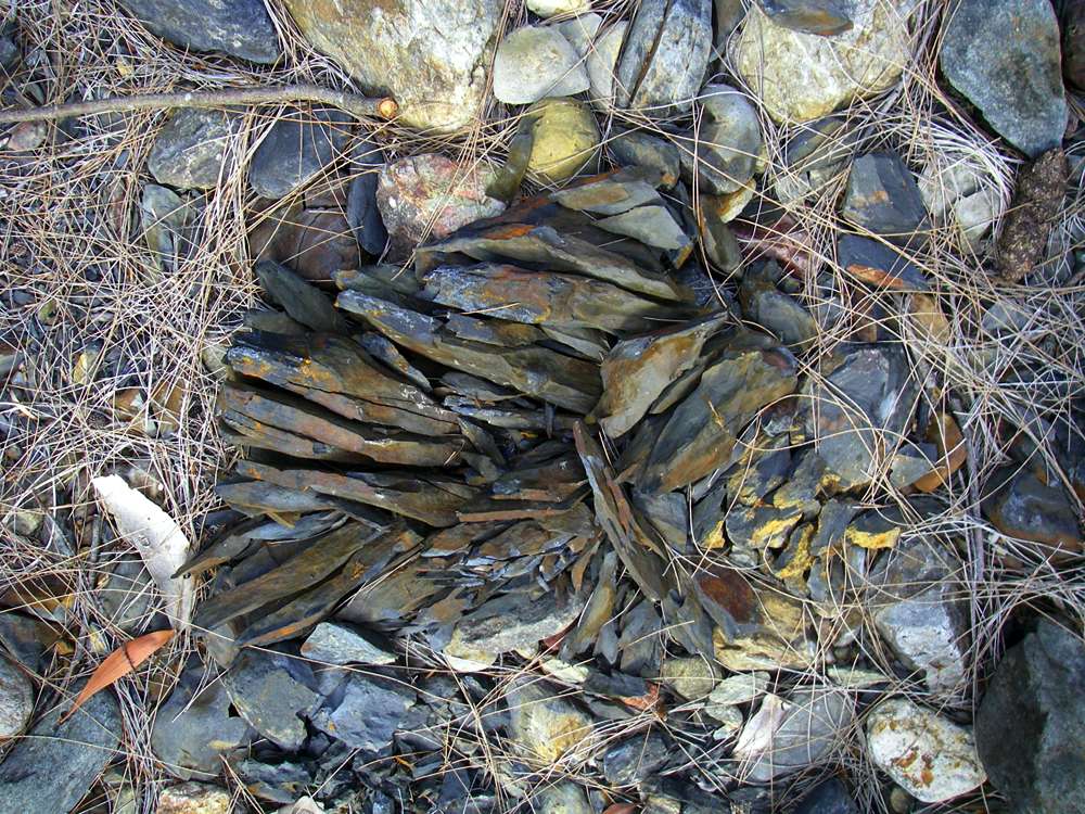
It is unusual to see rocks which weather as quickly as these do. They are in the bed of an overflow area, and in the sun and rain they split into tiny shards very rapidly.
Photo: Don Hitchcock December 2008
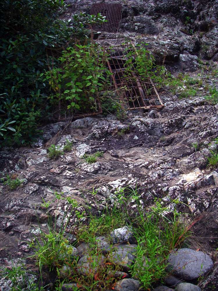
I first noticed rounded river rocks where they should not have been, high up near the gorge walls, (foreground) then noticed these steel tracks set into the rocks, apparently to allow a motorbike or quadbike to negotiate the steep rocks which jut into the river at this point. The river rocks were to fill in a depression in the rocks.
Photo: Don Hitchcock December 2008
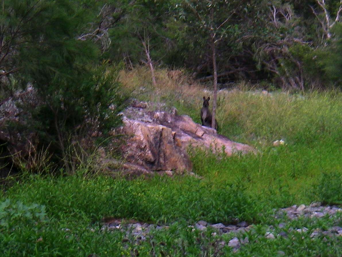
This wary wallaby looked like a swamp wallaby, common in flatter areas of the gorges.
Photo: Don Hitchcock December 2008
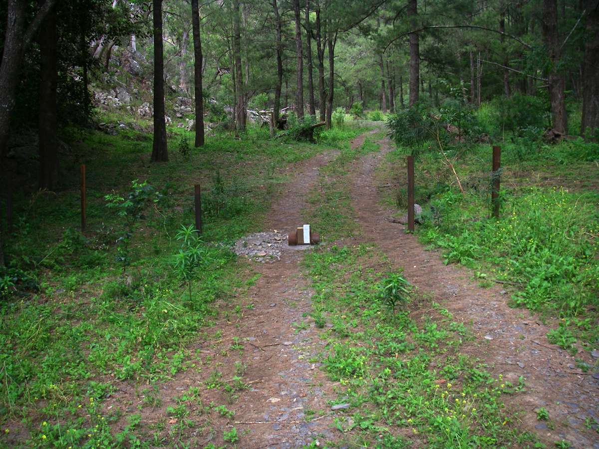
These steel posts seem to have been put in by NPWS to stop 4WD motorists from proceeding any further up the gorges, after coming down to the Hall's Peak camp ground beside the river. Presumably there is a gate still to be added to the fence.
Photo: Don Hitchcock December 2008
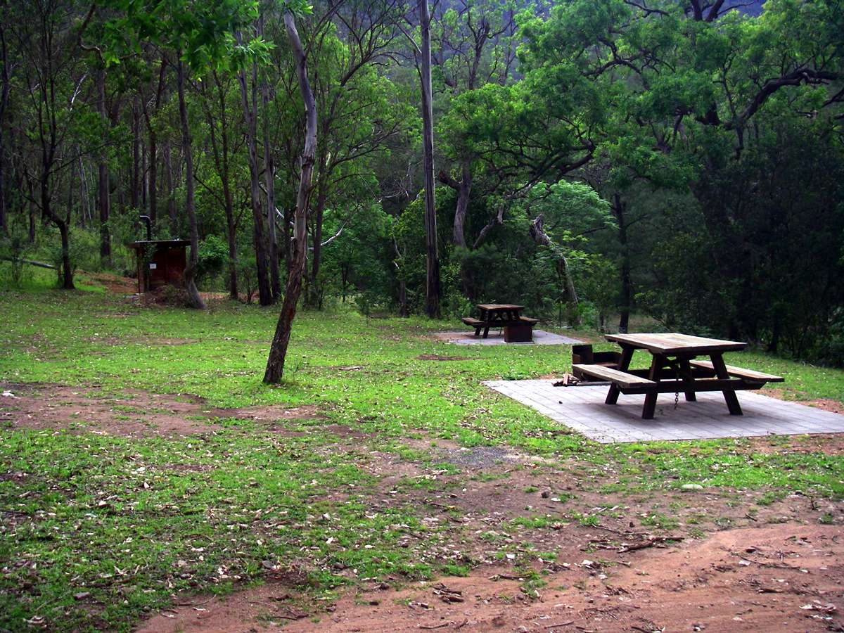

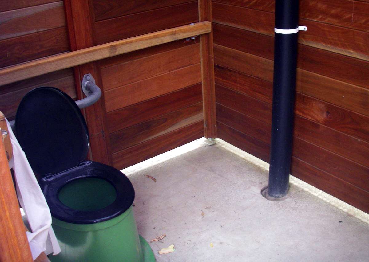
The camping area is very new, and has been well set up, with picnic tables and a toilet.
Photo: Don Hitchcock December 2008
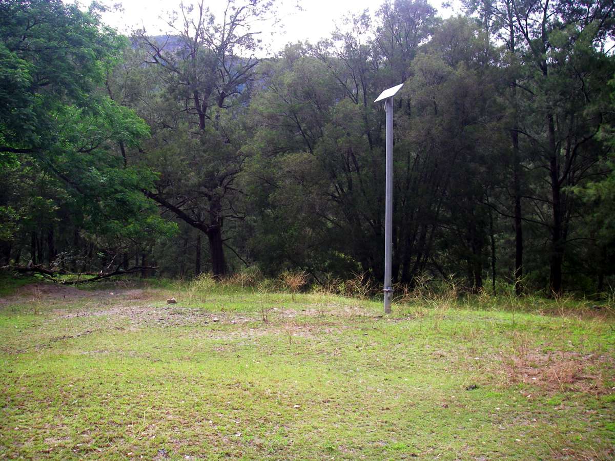
This pole with a photovoltaic cell array on top provides electricity for the fan in the chimney in the toilet.
Photo: Don Hitchcock December 2008
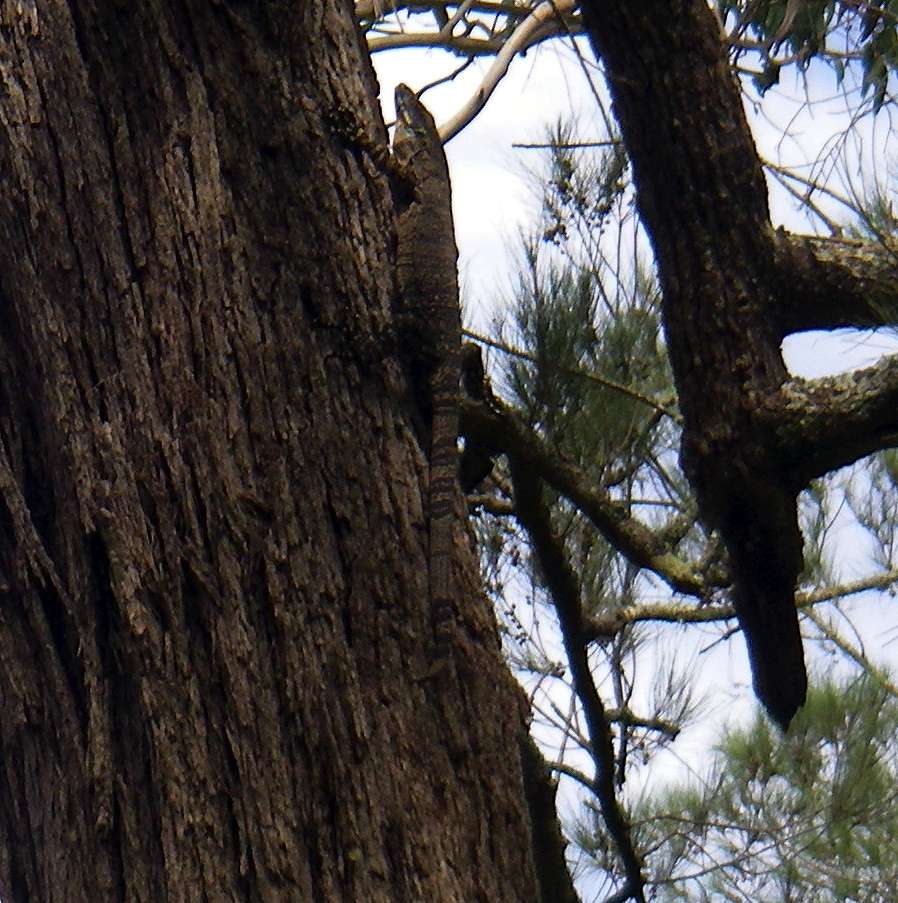
The second goanna of the trip.
Photo: Don Hitchcock December 2008
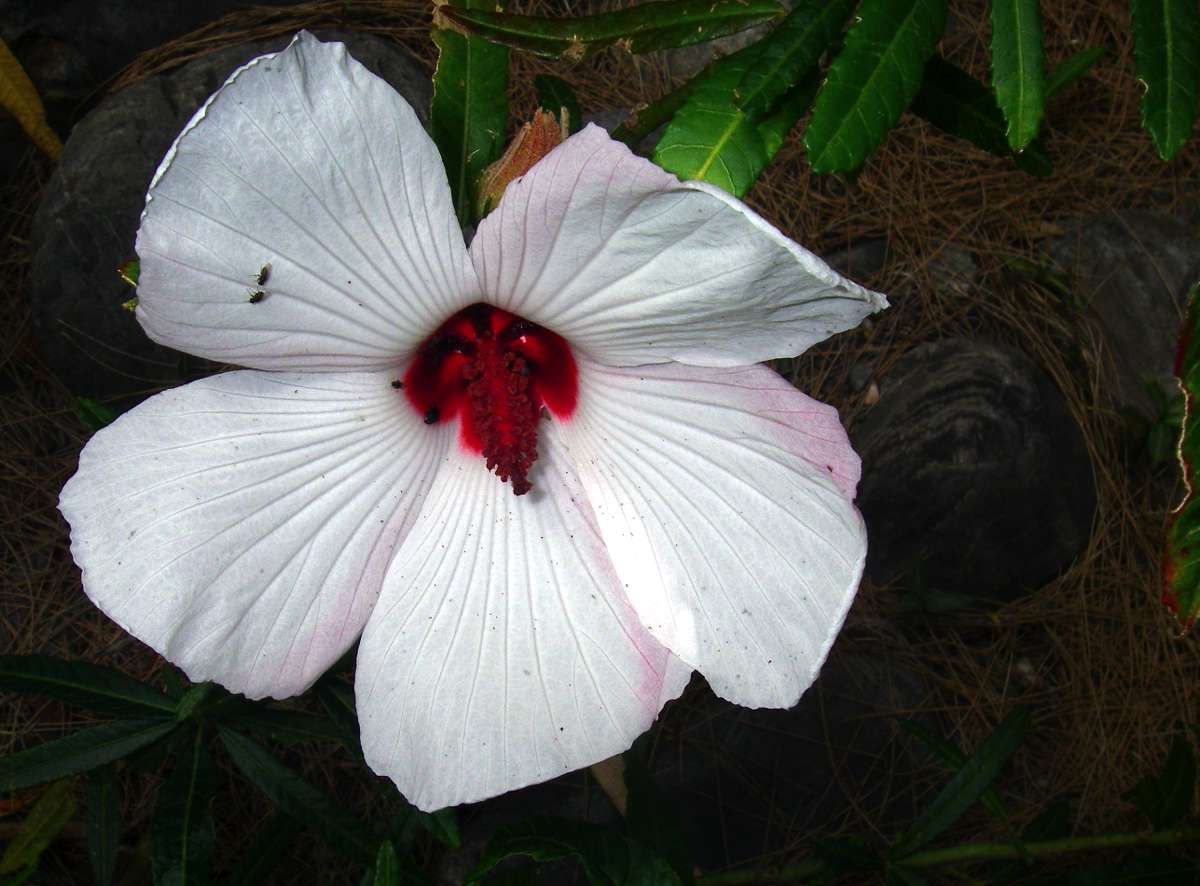
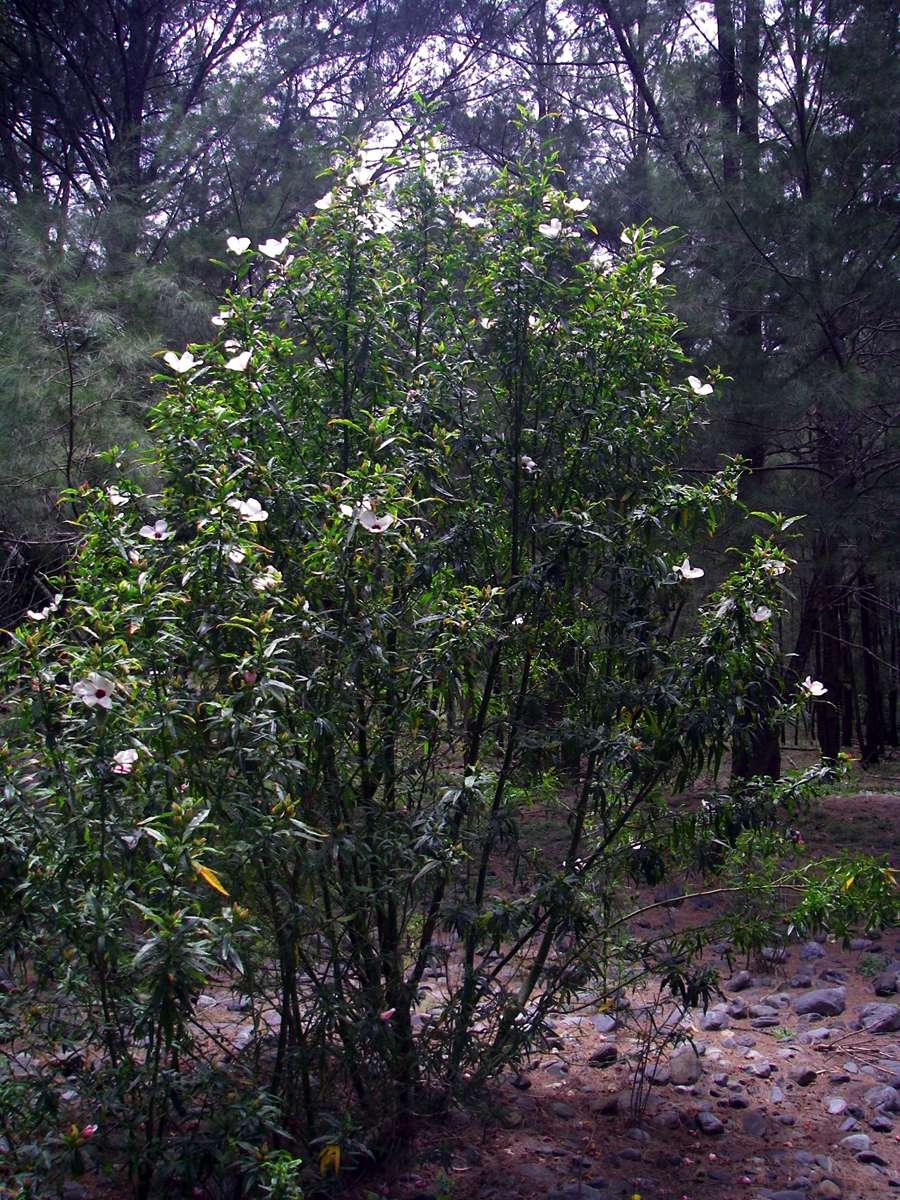
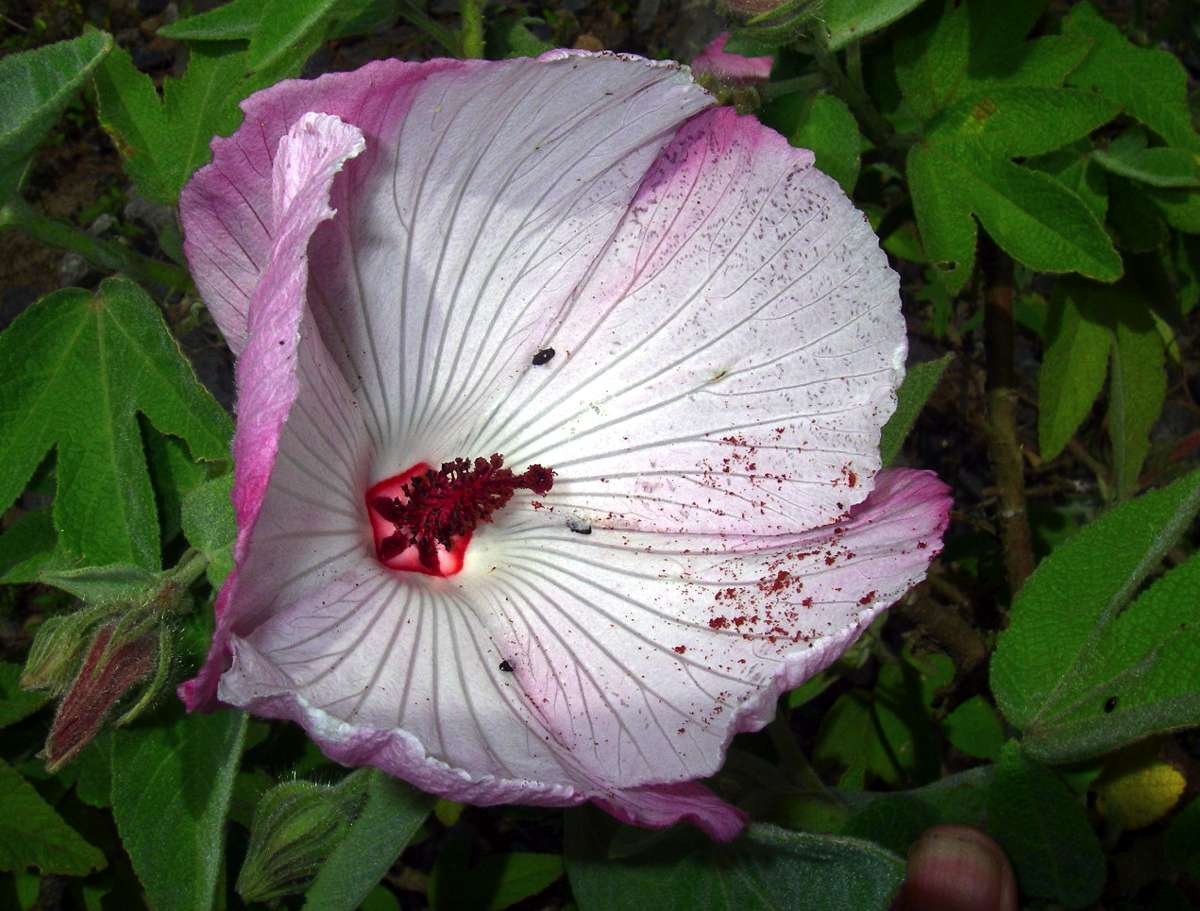
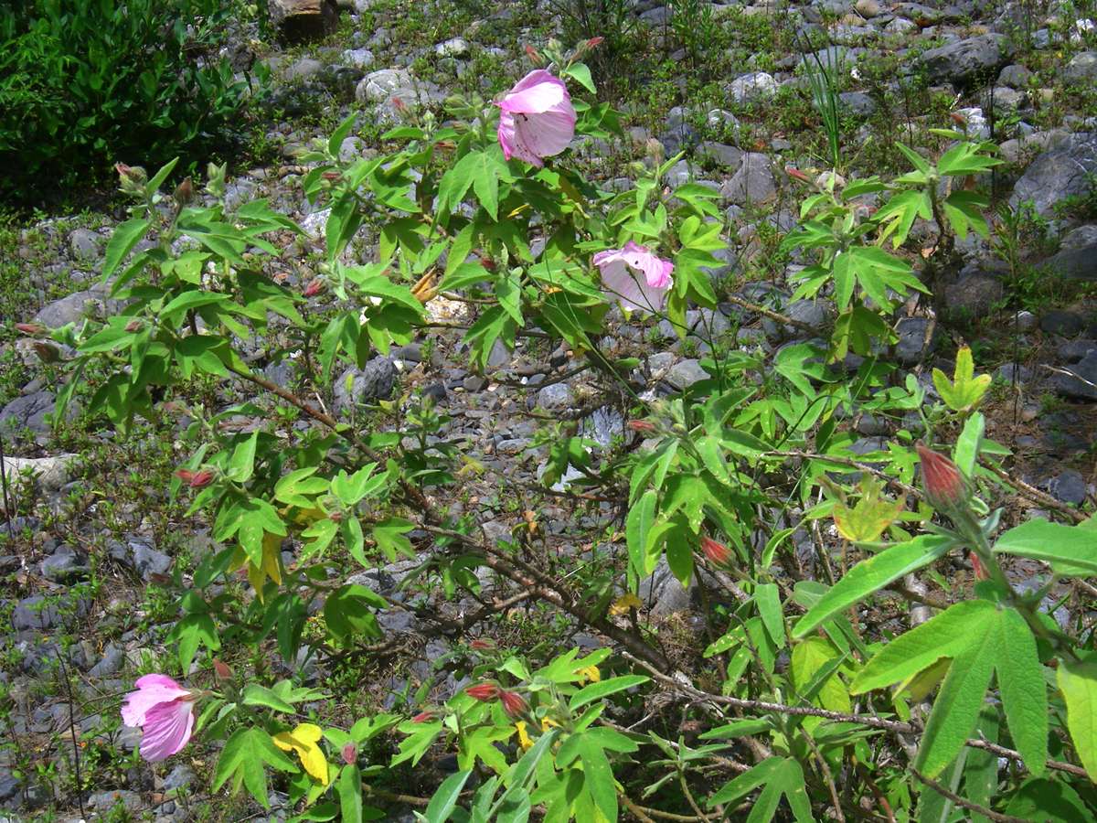
A native hibiscus.
Photo: Don Hitchcock December 2008

The stinging tree, or Gympie Gympie bush. They are quite dangerous to touch. I heard of one man who died when a stinging tree fell on him. He did not die from the weight of the tree, but from the leaves which covered his body. He was wearing just a pair of shorts at the time, and died in agony.
I once put my hand on a skeletonised leaf on the ground, and my hand was very painful for several days afterward. I would hate to have touched a green leaf.
The Gympie Gympie bushes seem to be spreading up the Chandler from lower elevations, as the climate warms up. I have seen one at Slaughter House Gully much further up the Chandler, although it was looking poorly, perhaps because of the colder microclimate there. This one looks in very good health.
Photo: Don Hitchcock December 2008

As you go further down the river, these channels begin to appear, where overflow from the river in flood sweeps vegetation before it, creating a highway effect for a few hundred metres at a time.
Photo: Don Hitchcock December 2008
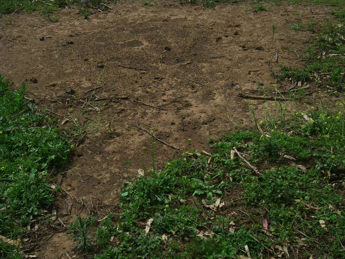
Ants create these bare areas around their nests, as well as a highway to it from feeding areas.
Photo: Don Hitchcock December 2008
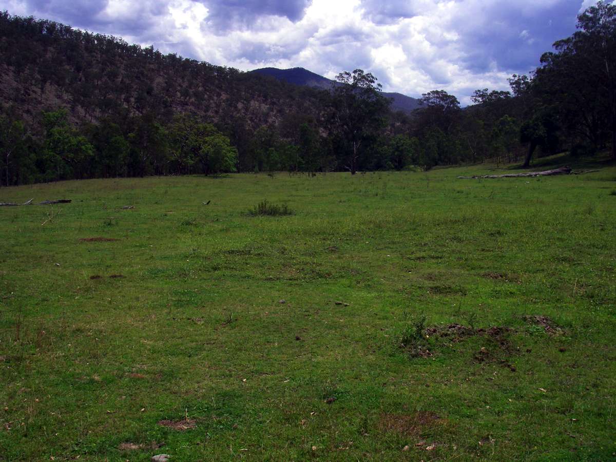
Near the entry of the Chandler to the Macleay, these large paddocks appear, well cropped by horses, cattle and kangaroos. At this point it is best to stay on the right bank to its junction with the Macleay if you intend to travel up the Macleay. This avoids a tedious walk across boulders, and a deep river crossing at the entry of the Chandler to the Macleay. If you follow the horse track, the way is faster and easier, though up and down a bit as you get close to the Macleay. I did not do this on the downstream journey!
Photo: Don Hitchcock December 2008
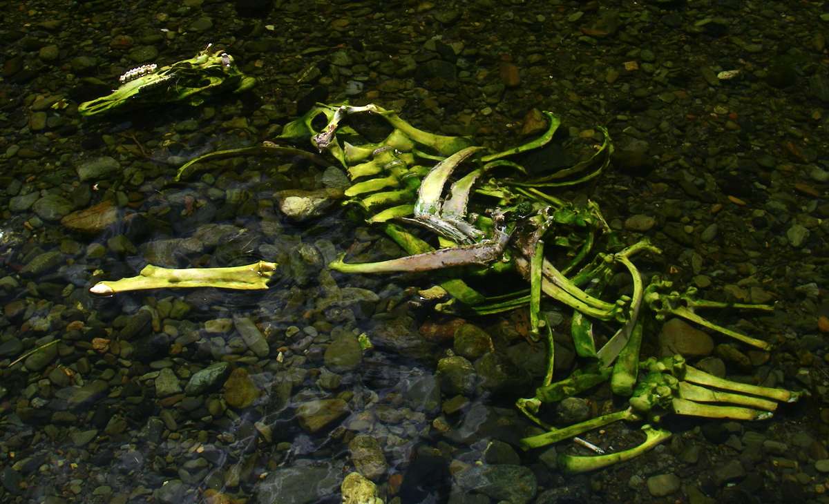
A stark reminder to sterilise all drinking water!
Photo: Don Hitchcock December 2008
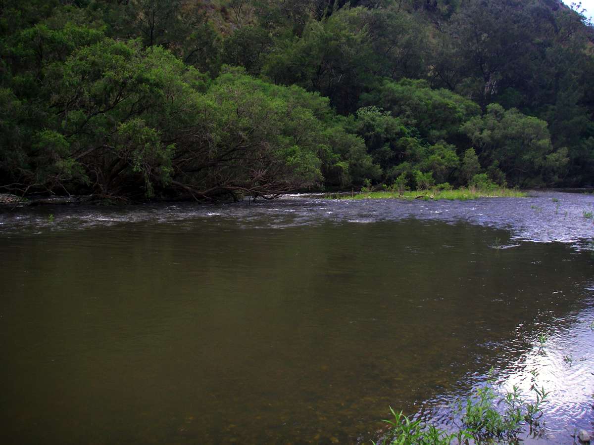
The Chandler in the foreground, the Macleay in the background forming a T junction.
Things didn't look too good at this point. The Chandler was backed up quite a distance from the junction because the Macleay was running so high and fast. In addition, a thunderstorm was brewing. I wanted to turn the corner and go up the Macleay. I crossed the Chandler with some difficulty, but I could not cross the Macleay at this point. I found a crossing ten minutes up the Macleay.
Photo: Don Hitchcock December 2008
I crossed the Macleay, then considered my options. I have never seen the Macleay so high and fast at this point. It was muddy, and there was a thunderstorm sitting over the headwaters. I decided to retrace my steps back up the Chandler. There are a lot of crossings going up the Macleay, and I decided it would be too dangerous to continue. If you are in the gorges and the water turns muddy, you should seriously consider whether it is wise to continue, or whether you would be advised to find a ridge out of the system and back to civilisation.
Photo taken from the right bank of the Macleay.
Photo: Don Hitchcock December 2008
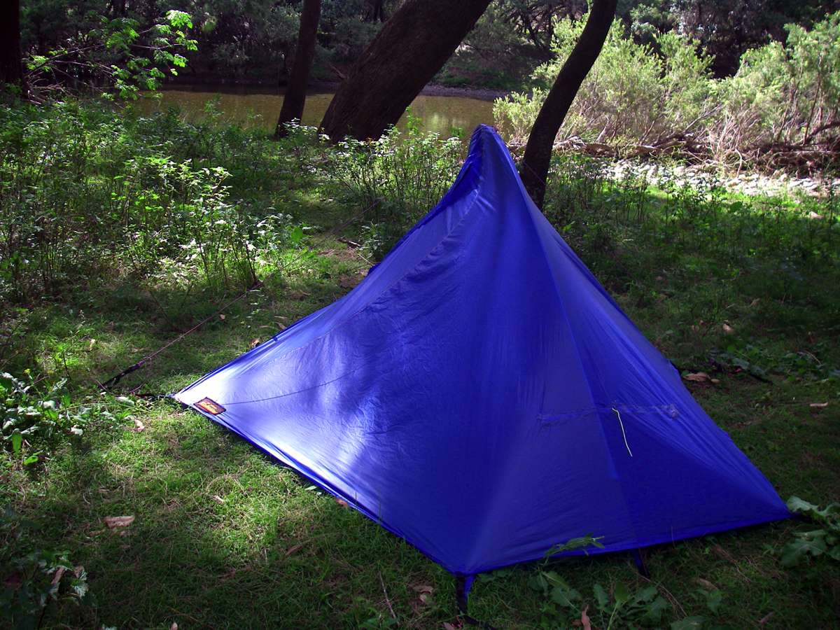
I camped about an hour from the junction of the Chandler and the Macleay on the return journey. This tent which I designed and made is very easy to set up, and weighs about 800 grams total. It has insect protection and a vestibule, and is supported by a carbon fibre pole bent into a hoop shape.
Photo: Don Hitchcock December 2008


Two items I regard as essential. The five litre wine cask inner holds about seven litres when full. I fill it from the creek, then carry it to the campsite, and it provides all the water I need for the evening and morning, and a full waterbottle in the morning.
The 1.25 litre coke bottles are light and superbly designed. The cap never leaks and can not be cross threaded, and the bottle has a waist which makes it easy to clamp into my bottle pocket on the side of my pack. I take a powdered cordial called "Tang" and add it to each bottle of drinking water. I came to this solution when I realised I was not getting enough drinking water during the day, especially in summer. The cordial makes getting the water down a lot easier.
Photo: Don Hitchcock December 2008

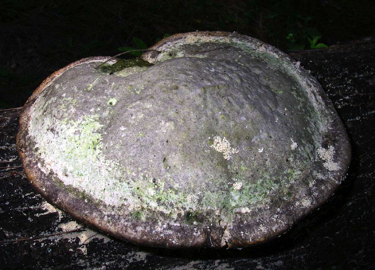
These bracket fungi look remarkably like the horseshoe fungus of Europe, used in the stone ages as a fire lighter.
Photo: Don Hitchcock December 2008
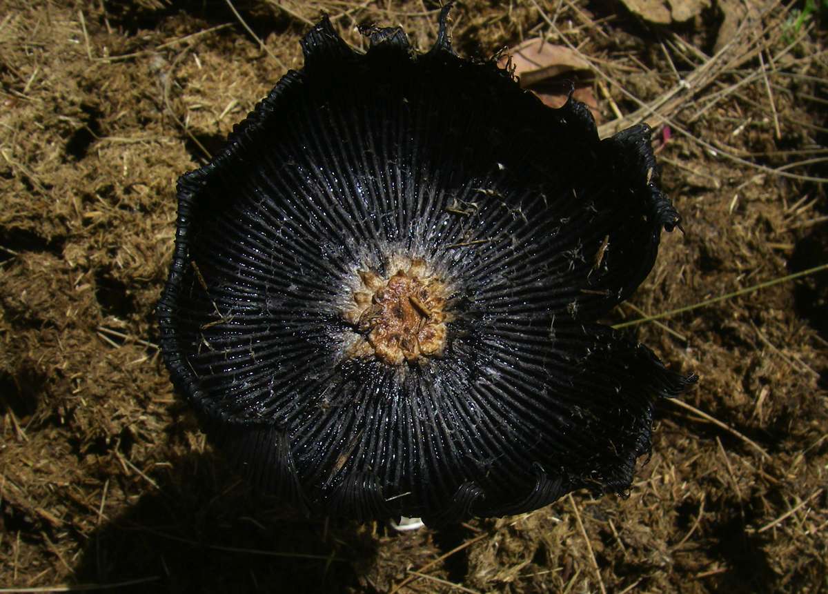
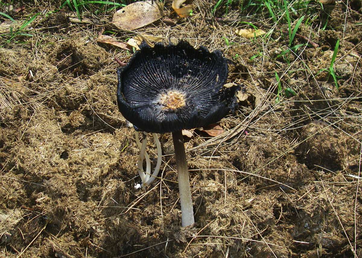
This attractive mushroom appears to be upside down, with the spores on the upper side!
It grows preferentially in horse dung.
Photo: Don Hitchcock December 2008
The downstream face of Hall's Peak, upstream from the Hall's Peak 4WD camping area.
Photo: Don Hitchcock December 2008
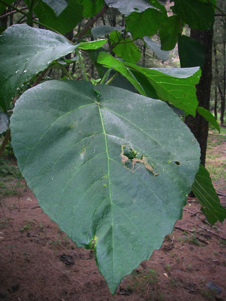
Another species of native Hibiscus, with a quite different leaf and different habit.
Photo: Don Hitchcock December 2008
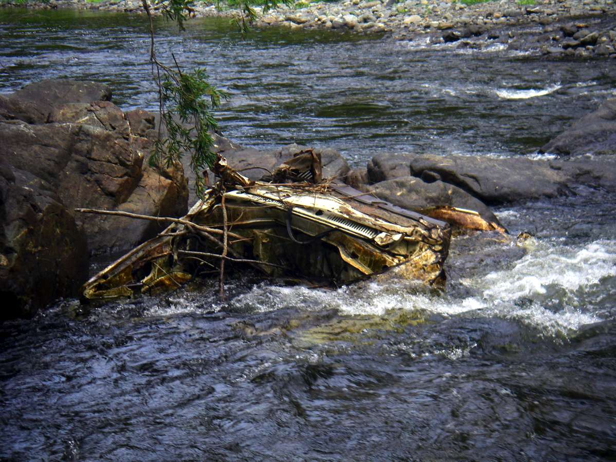
I saw this ute wreck much further upstream in 2007. Presumably it will eventually reach a deep pool and rust away, or perhaps reach the sea eventually. Presumably some idiot pushed it over the edge of the gorge to dispose of it. I often carry out rubbish washed down from the plateau (plastic bags, aluminium cans and so on) but I draw the line at car wrecks.
Photo: Don Hitchcock December 2008
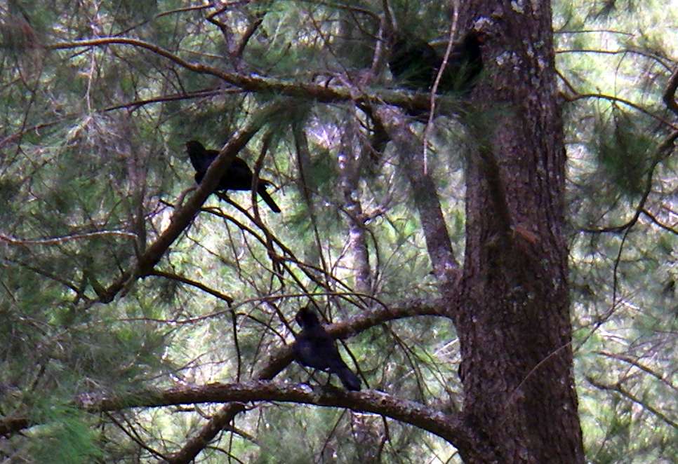
White Winged Choughs in a Casuarina. They are a bird of the forests, and have two distinct calls, a beautiful ethereal whistling, and a harsh, raucous alarm call. They always travel in groups. In flight the large white eye-patches in the wings are immediately obvious, but at rest they look rather like the Australian Raven, commonly called a crow here.
Photo: Don Hitchcock December 2008
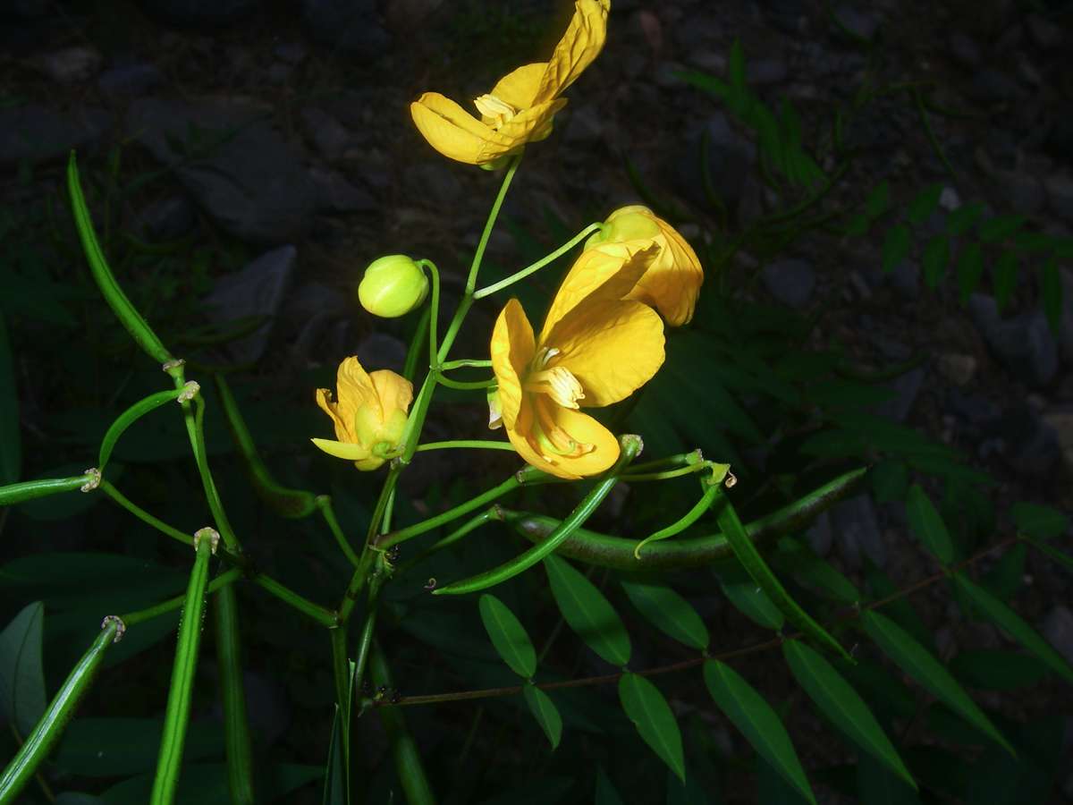
An Australian Cassia sp. showing both the flower and the bean-like pod.
Photo: Don Hitchcock December 2008
Fruit of a Solanum sp.
Photo: Don Hitchcock December 2008
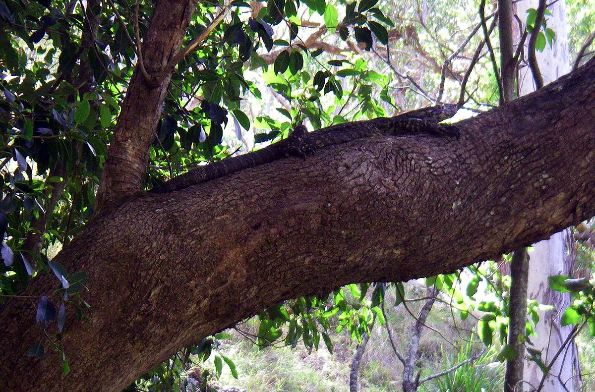
The third goanna of the trip.
Photo: Don Hitchcock December 2008
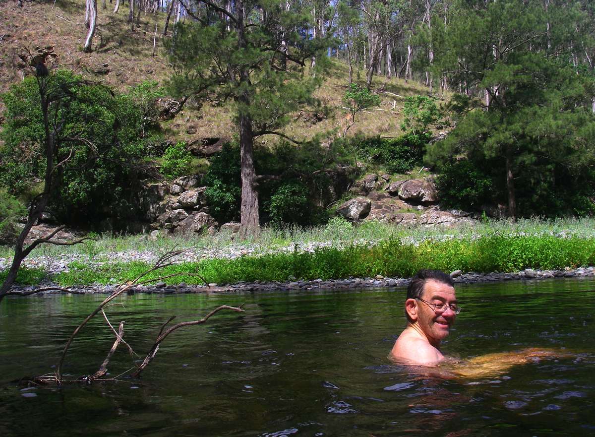
I camped upstream of the Styx, and it was a hot day, I'd got to the campsite early, so I took a swim. I don't often swim, it is too dangerous by yourself, but this was safe enough, more like a cold bath, and very refreshing.
Photo: Don Hitchcock December 2008
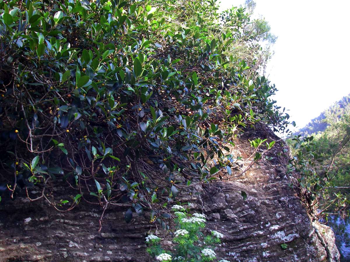
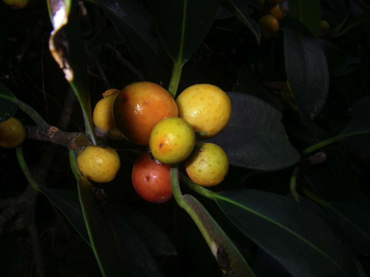
A native fig growing in a typical fashion sprawled across a rock face. The fruit is edible, though fairly tasteless.
Photo: Don Hitchcock December 2008
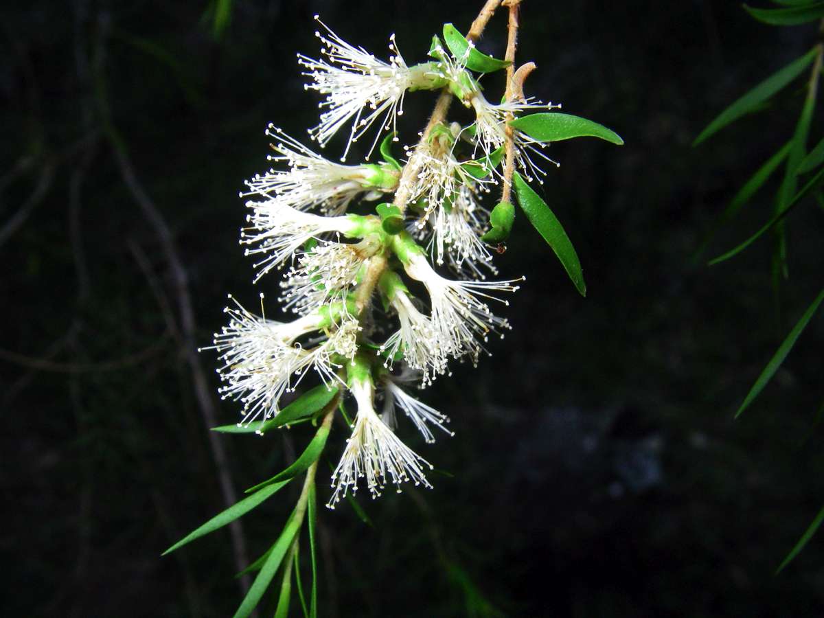
A Melaleuca sp. flower.
Photo: Don Hitchcock December 2008
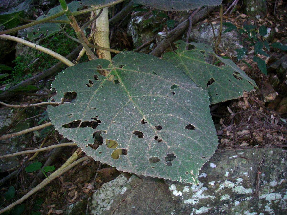
Another Stinging Tree leaf, this one showing the typical holes eaten in it by some insect or fungus specifically adapted to the plant.
Photo: Don Hitchcock December 2008
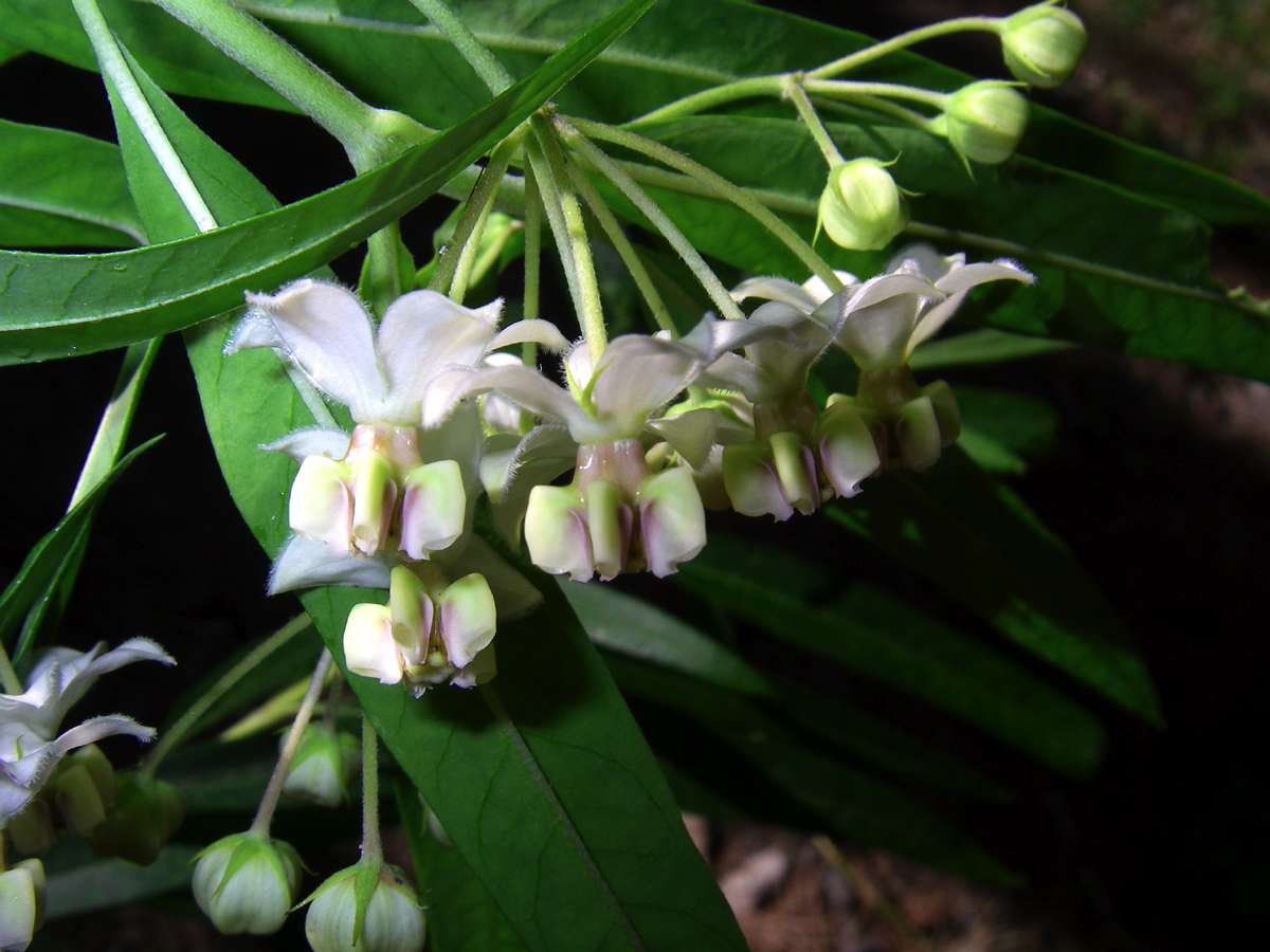
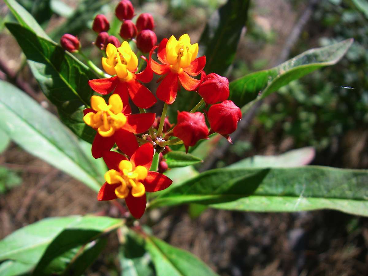
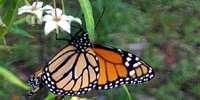
Exotic (i.e. introduced from overseas, not Australian species) members of the milkweed family, which are a host plant for the wanderer butterfly. The butterflies make an annual migrations of millions of butterflies down the gorges each year.
Photo: Don Hitchcock December 2008
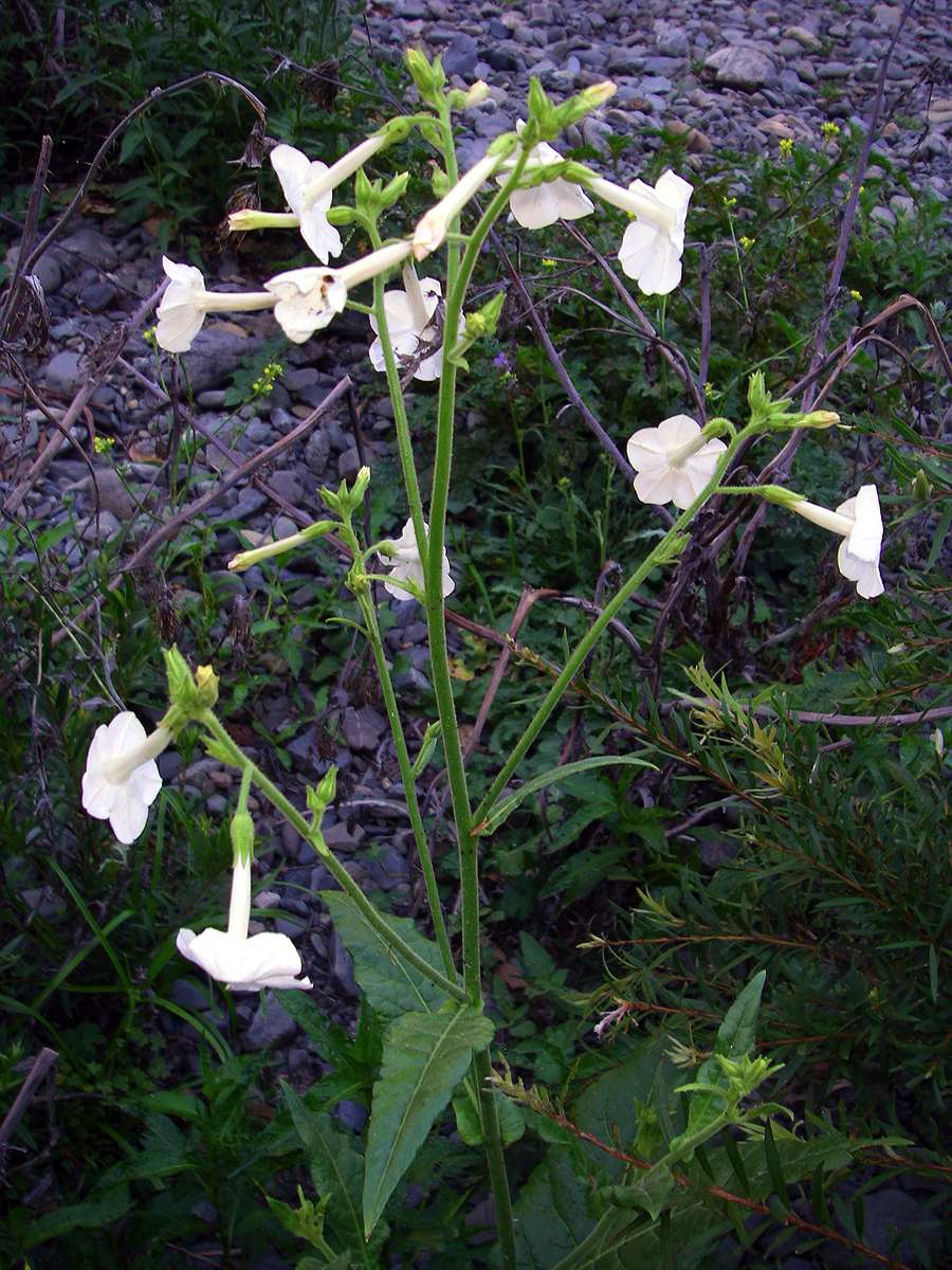
A Nicotiana sp. which may be an Australian native species.
Photo: Don Hitchcock December 2008

Marsupial dung beside the Chandler, possibly from a swamp wallaby.
Photo: Don Hitchcock December 2008

This fungus reminded me irresistibly of a battered china plate. It appeared to have very coarse spores, shown in the left hand photograph.
Photo: Don Hitchcock December 2008

At Jeogla Warm Corner (always loved that name, when I first got the maps of the area I fantasised about what it would be like to be there) the Oakey was up a lot more than the day before, as had been the Styx. There is a huge expanse of camping spots here, what Peter Rogers and I call "Scout Jamboree camping". Often campsites in the gorges are just one tentspace here, and one there. On my way through, I found this red belly black snake in long grass. They are one of the most beautiful snakes we have, and this one was about a metre and a half long, not fully grown, but in prime condition. They get to about two metres long. I got a few photos, but as I went closer he decided to have a look at me as well, so I backed off.
Photo: Don Hitchcock December 2008
One of the many campsites at Jeogla Warm Corner, the area where the Oakey joins the Chandler.
Photo: Don Hitchcock December 2008
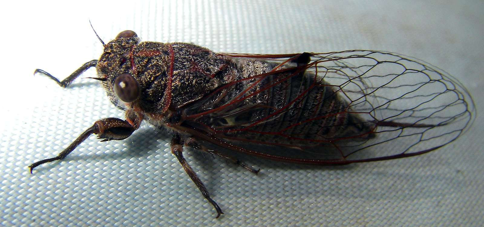
I found this cicada on my pack during a rest break. They are a distinctive sound of summer here, there are many different species, this is a very small type.
Photo: Don Hitchcock December 2008
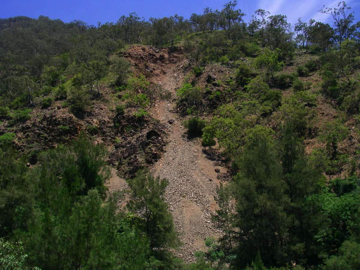
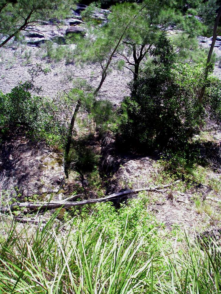
This reddish-orange scree slope is quite distinctive, and tells you that you are close to the bottom of the ridge out.
Photo: Don Hitchcock December 2008
Back at the bottom of the ridge up to the Long Point shelter shed, I had a long lunch, waiting for 15:00 hours when it would be cooler to climb the ridge. I got up the ridge in about three and a half hours, and then home for a well earned scotch and steak and hot chips.
Bushwalking Index Anyone (e.g. students, libraries, government agencies such as tourist bureaus, the general public) may use, print and publish the photographs taken by me and presented on this bushwalking file for any legitimate non-commercial purpose, at no cost, and without asking permission. However a note such as "Photo: Don Hitchcock" somewhere in the document would be appreciated if it is to be published.